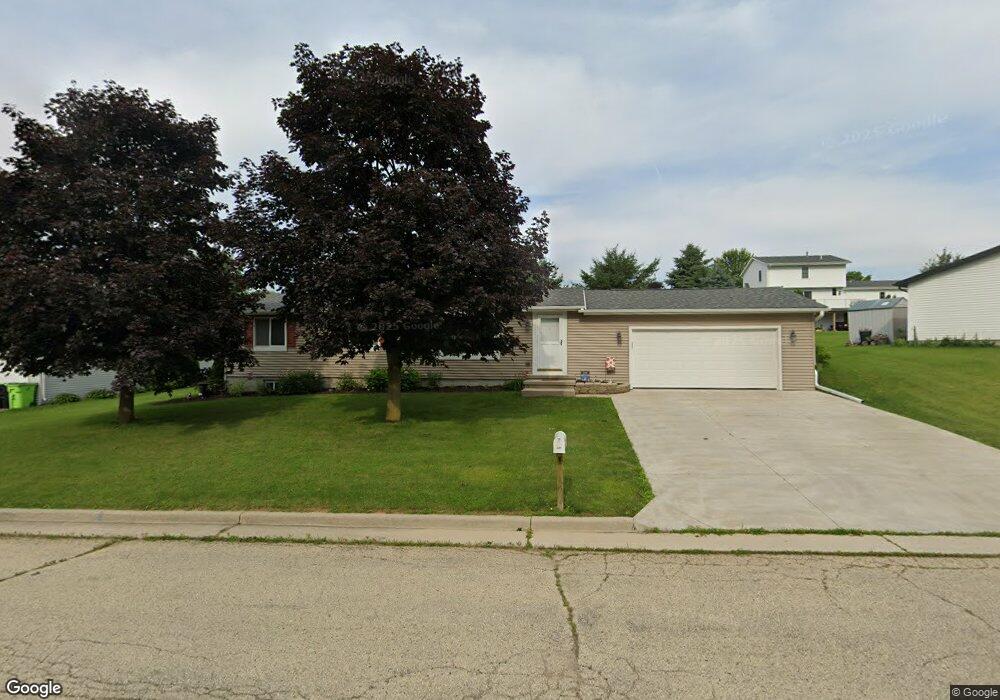
209 Michael Dr Iron Ridge, WI 53035
Estimated Value: $262,000 - $319,000
3
Beds
2
Baths
1,700
Sq Ft
$173/Sq Ft
Est. Value
About This Home
This home is located at 209 Michael Dr, Iron Ridge, WI 53035 and is currently estimated at $294,604, approximately $173 per square foot. 209 Michael Dr is a home located in Dodge County with nearby schools including Horicon Elementary School, Horicon High School, and St. Matthew Lutheran School.
Ownership History
Date
Name
Owned For
Owner Type
Purchase Details
Closed on
Oct 17, 2018
Sold by
Schellinger Joseph B P and Gault Megan E
Bought by
Schellinger Joseph B P and Schellinger Megan E
Current Estimated Value
Purchase Details
Closed on
Mar 13, 2012
Sold by
Secretary Of Hud Of Washington Dc
Bought by
Schellinger Joseph B P and Gault Megan E
Purchase Details
Closed on
Dec 16, 2011
Sold by
Wells Fargo Bank Na
Bought by
The Secretary Of Housing And Urban Developmen
Purchase Details
Closed on
Oct 20, 2011
Sold by
Olszewski Heather Ann and Olszewski Michael R
Bought by
Wells Fargo Bank
Create a Home Valuation Report for This Property
The Home Valuation Report is an in-depth analysis detailing your home's value as well as a comparison with similar homes in the area
Purchase History
| Date | Buyer | Sale Price | Title Company |
|---|---|---|---|
| Schellinger Joseph B P | -- | None Available | |
| Schellinger Joseph B P | -- | Northwest Title Agency Inc | |
| The Secretary Of Housing And Urban Developmen | $162,200 | -- | |
| Wells Fargo Bank | -- | None Available |
Source: Public Records
Tax History
| Year | Tax Paid | Tax Assessment Tax Assessment Total Assessment is a certain percentage of the fair market value that is determined by local assessors to be the total taxable value of land and additions on the property. | Land | Improvement |
|---|---|---|---|---|
| 2025 | $2,792 | $145,400 | $35,000 | $110,400 |
| 2024 | $2,693 | $145,400 | $35,000 | $110,400 |
| 2023 | $2,629 | $145,400 | $35,000 | $110,400 |
| 2022 | $2,600 | $145,400 | $35,000 | $110,400 |
| 2021 | $2,512 | $145,400 | $35,000 | $110,400 |
| 2020 | $2,744 | $145,400 | $35,000 | $110,400 |
| 2019 | $2,578 | $145,400 | $35,000 | $110,400 |
| 2018 | $2,612 | $145,400 | $35,000 | $110,400 |
| 2017 | $2,482 | $145,400 | $35,000 | $110,400 |
| 2016 | $2,440 | $145,400 | $35,000 | $110,400 |
| 2015 | $2,426 | $145,400 | $35,000 | $110,400 |
| 2014 | $2,753 | $145,400 | $35,000 | $110,400 |
Source: Public Records
Map
Nearby Homes
- 233 W Pleasant St
- 210 N Main St
- 234 Watertower Cir
- N5413 County Rd S
- Lot 29 Weber View Dr
- N4973 Lake Dr
- N4583 Hickory Rd
- N5968 County Road P
- N4493 Hickory Rd
- W3730 Decora Rd
- W4011 Hickory Rd
- N4411 Daley Rd
- 4301 W State Road 33 Rd
- 143 N Ridge St
- 109 S Lake St
- 127 S Lake St
- 244 S Ridge St
- W4436 E Lakeview Rd
- Lt1 W Horseshoe Rd
- Lt1 Lilly Rd
- 207 Michael Dr
- 114 Westgate Dr
- 211 Michael Dr
- 112 Westgate Dr
- 116 Westgate Dr
- 216 Michael Dr
- 214 Michael Dr
- 205 Michael Dr
- 218 Michael Dr
- 110 Westgate Dr
- 220 Michael Dr
- 212 Michael Dr
- 118 Westgate Dr
- 117 Westgate Dr
- 115 Westgate Dr
- 222 Michael Dr
- 119 Westgate Dr
- 202 Michael Dr
- 210 Michael Dr
- 200 Michael Dr
Your Personal Tour Guide
Ask me questions while you tour the home.