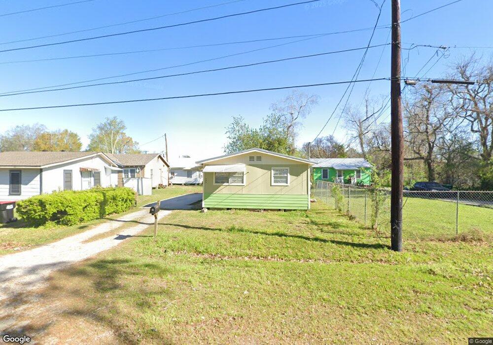
209 Pershing St Lafayette, LA 70501
Pa Davis Park NeighborhoodEstimated Value: $52,648 - $83,000
Studio
--
Bath
800
Sq Ft
$85/Sq Ft
Est. Value
About This Home
This home is located at 209 Pershing St, Lafayette, LA 70501 and is currently estimated at $68,162, approximately $85 per square foot. 209 Pershing St is a home located in Lafayette Parish with nearby schools including Dr. Raphael A. Baranco Elementary School, Paul Breaux Middle School, and Northside High School.
Ownership History
Date
Name
Owned For
Owner Type
Purchase Details
Closed on
Aug 26, 2021
Sold by
Pradier Horace Joseph
Bought by
Phatty Mcfarlyn Properties Llc
Current Estimated Value
Purchase Details
Closed on
May 31, 2005
Sold by
Boutin Rose Mae and Boutin Ruby Helen
Bought by
Pradier Horace Joseph
Home Financials for this Owner
Home Financials are based on the most recent Mortgage that was taken out on this home.
Original Mortgage
$25,476
Interest Rate
5.79%
Mortgage Type
FHA
Create a Home Valuation Report for This Property
The Home Valuation Report is an in-depth analysis detailing your home's value as well as a comparison with similar homes in the area
Home Values in the Area
Average Home Value in this Area
Purchase History
| Date | Buyer | Sale Price | Title Company |
|---|---|---|---|
| Phatty Mcfarlyn Properties Llc | $16,500 | None Available | |
| Pradier Horace Joseph | $27,000 | None Available |
Source: Public Records
Mortgage History
| Date | Status | Borrower | Loan Amount |
|---|---|---|---|
| Previous Owner | Pradier Horace Joseph | $25,476 |
Source: Public Records
Tax History
| Year | Tax Paid | Tax Assessment Tax Assessment Total Assessment is a certain percentage of the fair market value that is determined by local assessors to be the total taxable value of land and additions on the property. | Land | Improvement |
|---|---|---|---|---|
| 2025 | $286 | $2,750 | $527 | $2,223 |
| 2024 | $289 | $2,750 | $527 | $2,223 |
| 2023 | $289 | $2,724 | $527 | $2,197 |
| 2022 | $279 | $2,667 | $527 | $2,140 |
| 2021 | $280 | $2,667 | $527 | $2,140 |
| 2020 | $279 | $2,667 | $527 | $2,140 |
| 2019 | $48 | $2,667 | $527 | $2,140 |
| 2018 | $47 | $2,667 | $527 | $2,140 |
| 2017 | $47 | $2,667 | $527 | $2,140 |
| 2015 | $47 | $2,600 | $460 | $2,140 |
| 2013 | -- | $2,600 | $460 | $2,140 |
Source: Public Records
Map
Nearby Homes
- 222 Pershing Ave
- 1110 Louisiana Ave
- 210 Marne St
- 304 Marne St
- 321 Verdun St
- 316 E Foch St
- 207 Haig St
- 1716 12th St
- 304 Carmel Dr
- 121 N General Marshall St
- 138 N General Marshall St
- 602 Pershing St
- 116 Iantha St
- 123 Park Ave
- 112 Brenda St
- 200 Eighth St
- 113 Texas St
- 823 S Sterling St
- 750 Saint Charles St
- 3605 E SiMcOe St
Your Personal Tour Guide
Ask me questions while you tour the home.