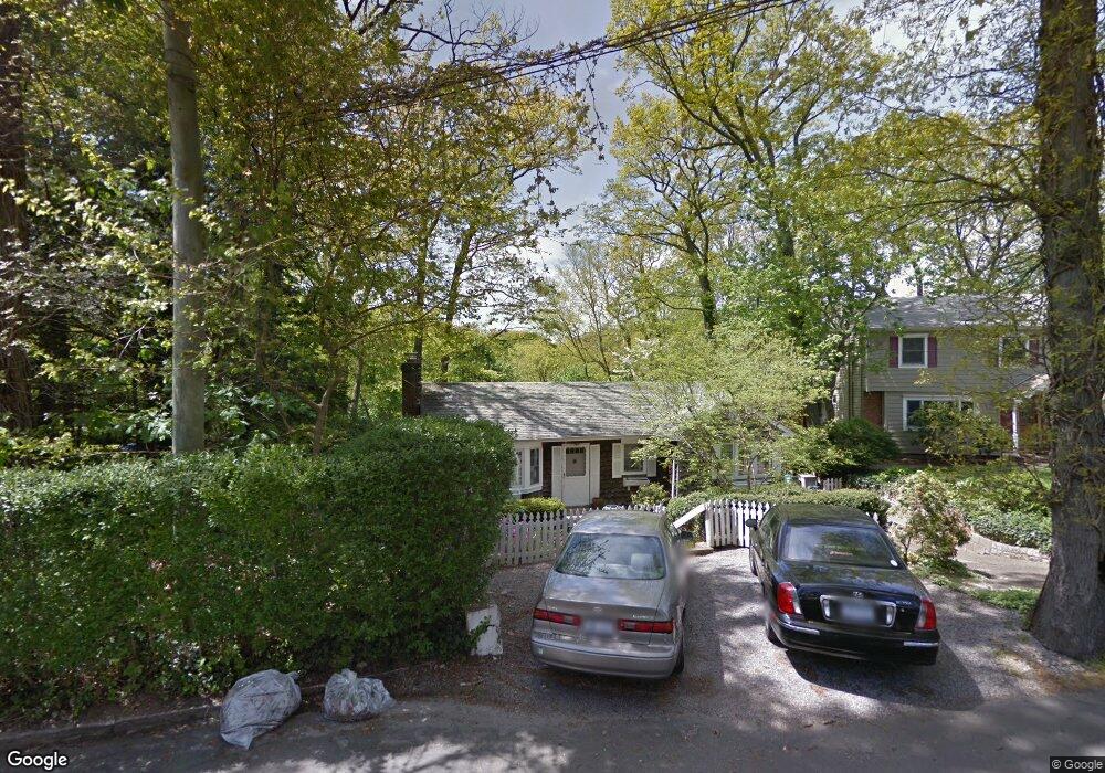
209 Taft Crescent Centerport, NY 11721
Estimated Value: $725,000 - $931,000
4
Beds
2
Baths
--
Sq Ft
7,841
Sq Ft Lot
About This Home
This home is located at 209 Taft Crescent, Centerport, NY 11721 and is currently estimated at $818,527. 209 Taft Crescent is a home located in Suffolk County with nearby schools including Washington Drive Primary School, Thomas J Lahey Elementary School, and Oldfield Middle School.
Ownership History
Date
Name
Owned For
Owner Type
Purchase Details
Closed on
May 9, 2019
Sold by
Collateral Development Co
Bought by
Levinsky Tyler and Casatelli Christina
Current Estimated Value
Home Financials for this Owner
Home Financials are based on the most recent Mortgage that was taken out on this home.
Original Mortgage
$484,350
Outstanding Balance
$424,977
Interest Rate
4.1%
Mortgage Type
New Conventional
Estimated Equity
$393,550
Purchase Details
Closed on
Sep 14, 2018
Sold by
Joan Reigot Est
Bought by
Collateral Development Co
Create a Home Valuation Report for This Property
The Home Valuation Report is an in-depth analysis detailing your home's value as well as a comparison with similar homes in the area
Home Values in the Area
Average Home Value in this Area
Purchase History
| Date | Buyer | Sale Price | Title Company |
|---|---|---|---|
| Levinsky Tyler | $510,000 | -- | |
| Collateral Development Co | $325,000 | -- |
Source: Public Records
Mortgage History
| Date | Status | Borrower | Loan Amount |
|---|---|---|---|
| Open | Levinsky Tyler | $484,350 |
Source: Public Records
Tax History
| Year | Tax Paid | Tax Assessment Tax Assessment Total Assessment is a certain percentage of the fair market value that is determined by local assessors to be the total taxable value of land and additions on the property. | Land | Improvement |
|---|---|---|---|---|
| 2024 | $13,081 | $3,100 | $300 | $2,800 |
| 2023 | $6,541 | $3,100 | $300 | $2,800 |
| 2022 | $12,658 | $3,100 | $300 | $2,800 |
| 2021 | $12,501 | $3,100 | $300 | $2,800 |
| 2020 | $12,282 | $3,100 | $300 | $2,800 |
| 2019 | $24,565 | $0 | $0 | $0 |
| 2018 | $3,892 | $3,100 | $300 | $2,800 |
| 2017 | $3,892 | $3,100 | $300 | $2,800 |
| 2016 | $3,827 | $3,100 | $300 | $2,800 |
| 2015 | -- | $3,100 | $300 | $2,800 |
| 2014 | -- | $3,100 | $300 | $2,800 |
Source: Public Records
Map
Nearby Homes
- 175 Taft Crescent
- 126 Grant St
- 602 Mckinley Terrace
- 131 Fleets Cove Rd
- 319 Jefferson St
- 60 Bayview Dr
- 107 Fillmore St
- 39 Fleets Cove Rd
- 137 Cove Rd
- 6 Valley Ln
- 33 Fleets Cove Rd
- 14 Thorman Ln
- 6 Sandy Hollow Rd
- 35 E Neck Rd
- 19 Cobblestone Ct
- 58 Oakdale Rd
- 3 Atlanta Dr
- 10 Hollise Ct
- 5 Longview Ct
- 54 Westfield Dr
- 205 Taft Crescent
- 409 Adams St
- 201 Taft Crescent
- 201 Taft Crescent
- 215 Taft Crescent
- 218 Taft Crescent
- 413 Adams St
- 190 Taft Crescent
- 729 Harrison Dr
- 903 Harrison Dr
- 193 Taft Crescent
- 727 Harrison Dr
- 312 Adams St
- 415 Adams St
- 182 Taft Crescent
- 804 Harrison Dr
- 227 Adams St
- 191 Taft Crescent
- 424 Mckinley Terrace
Your Personal Tour Guide
Ask me questions while you tour the home.