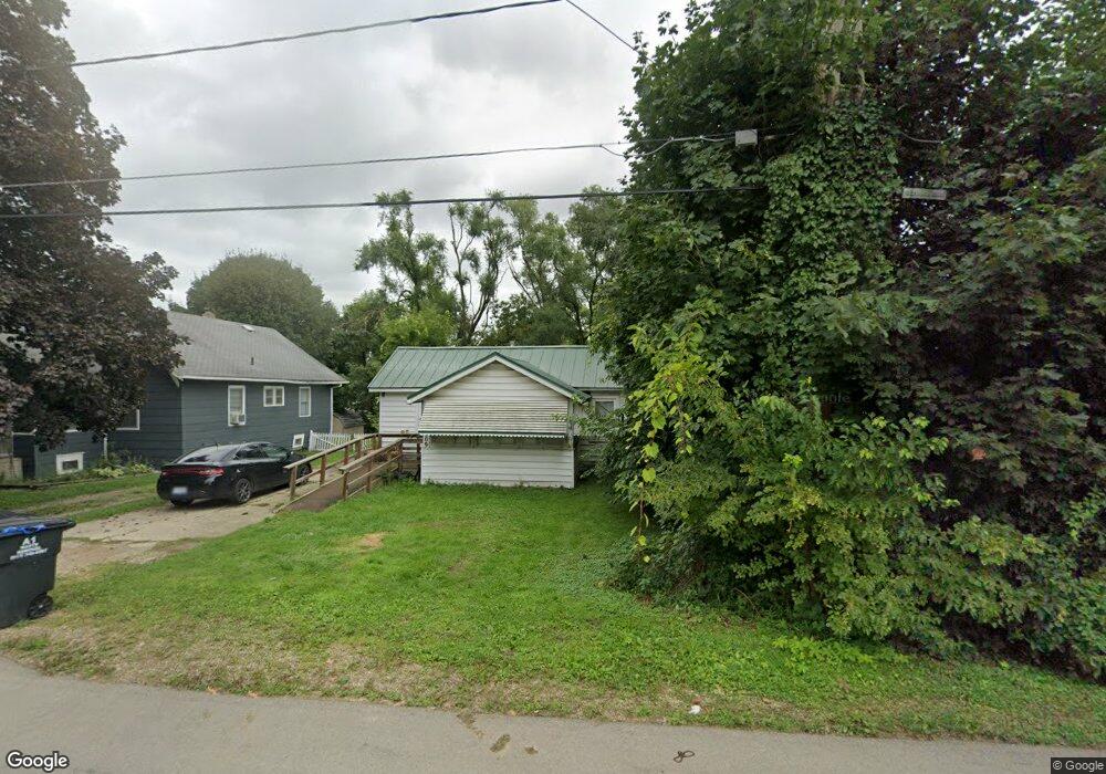
209 Watts St Unit 209 Watts Jackson, MI 49203
Estimated Value: $82,441 - $114,000
1
Bed
1
Bath
630
Sq Ft
$150/Sq Ft
Est. Value
About This Home
This home is located at 209 Watts St Unit 209 Watts, Jackson, MI 49203 and is currently estimated at $94,610, approximately $150 per square foot. 209 Watts St Unit 209 Watts is a home located in Jackson County with nearby schools including East Jackson Elementary School, East Jackson Middle School, and East Jackson High School.
Ownership History
Date
Name
Owned For
Owner Type
Purchase Details
Closed on
Jul 14, 2021
Sold by
Gamble Richard L
Bought by
Gamble Richard L and Furgason Logan J
Current Estimated Value
Purchase Details
Closed on
Aug 2, 2018
Sold by
Federal Home Loan Mortgage Corporation
Bought by
Gamble Richard L
Purchase Details
Closed on
Apr 4, 2018
Sold by
Randolph Judy D
Bought by
Federal Home Loan Mortgage Corp
Purchase Details
Closed on
May 3, 1996
Sold by
Dillon Jeffrey and Fowler P
Bought by
Randolph Judy
Create a Home Valuation Report for This Property
The Home Valuation Report is an in-depth analysis detailing your home's value as well as a comparison with similar homes in the area
Home Values in the Area
Average Home Value in this Area
Purchase History
We collect this data history from publicly available records. To have your information removed, we recommend requesting removal directly through your county’s website.
| Date | Buyer | Sale Price | Title Company |
|---|---|---|---|
| Gamble Richard L | -- | None Available | |
| Gamble Richard L | $22,500 | None Available | |
| Federal Home Loan Mortgage Corp | $34,645 | None Available | |
| Randolph Judy | $33,900 | -- |
Source: Public Records
Tax History
| Year | Tax Paid | Tax Assessment Tax Assessment Total Assessment is a certain percentage of the fair market value that is determined by local assessors to be the total taxable value of land and additions on the property. | Land | Improvement |
|---|---|---|---|---|
| 2025 | $1,464 | $34,400 | $0 | $0 |
| 2024 | $11 | $33,050 | $0 | $0 |
| 2023 | $1,024 | $30,900 | $0 | $0 |
| 2022 | $1,320 | $26,100 | $0 | $0 |
| 2021 | $1,290 | $22,500 | $0 | $0 |
| 2020 | $1,290 | $22,500 | $0 | $0 |
| 2019 | $1,258 | $22,100 | $0 | $0 |
| 2018 | $1,069 | $22,100 | $0 | $0 |
| 2017 | $675 | $22,000 | $0 | $0 |
| 2016 | $454 | $21,634 | $21,634 | $0 |
| 2015 | $649 | $18,975 | $18,975 | $0 |
| 2014 | $649 | $18,819 | $0 | $0 |
| 2013 | -- | $18,819 | $18,819 | $0 |
Source: Public Records
Map
Nearby Homes
- 131 Willow St
- 111 N Forbes St
- 3107 Hayes St
- 205 S Dettman Rd
- 00 Springbrook Rd
- Vl Watts St
- 157 N Dettman Rd
- 417 Lockwood St
- 0 Key St Unit 26001474
- 127 Bates St
- 141 Bates St
- 325 Seminole Place
- 509 S Gorham St
- 1712 E Michigan Ave
- 306 N Pleasant St
- 0 Lindsey Unit 13 Rd Unit 23103549
- 0 Lindsey Unit 14 Rd Unit 23282
- 0 Lindsey Unit 10 Rd Unit 23035543
- 0 Lindsey Unit 23 Rd Unit 23064040
- 317 Orange St
Your Personal Tour Guide
Ask me questions while you tour the home.