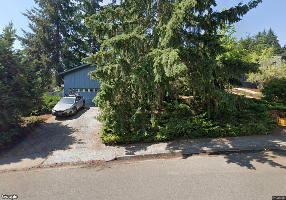
2090 W 27th Ave Eugene, OR 97405
Crest Drive NeighborhoodEstimated Value: $495,057 - $510,000
3
Beds
2
Baths
1,479
Sq Ft
$341/Sq Ft
Est. Value
About This Home
This home is located at 2090 W 27th Ave, Eugene, OR 97405 and is currently estimated at $503,764, approximately $340 per square foot. 2090 W 27th Ave is a home located in Lane County with nearby schools including Adams Elementary School, Arts And Technology Academy At Jefferson, and Churchill High School.
Ownership History
Date
Name
Owned For
Owner Type
Purchase Details
Closed on
Aug 18, 2003
Sold by
Lustgarten Jim C and Lustgarten Sherri L
Bought by
Acker Peter T and Acker Misty C
Current Estimated Value
Home Financials for this Owner
Home Financials are based on the most recent Mortgage that was taken out on this home.
Original Mortgage
$154,912
Outstanding Balance
$66,853
Interest Rate
5.46%
Mortgage Type
VA
Estimated Equity
$436,911
Create a Home Valuation Report for This Property
The Home Valuation Report is an in-depth analysis detailing your home's value as well as a comparison with similar homes in the area
Home Values in the Area
Average Home Value in this Area
Purchase History
| Date | Buyer | Sale Price | Title Company |
|---|---|---|---|
| Acker Peter T | $172,500 | Fidelity Natl Title Co Of Or |
Source: Public Records
Mortgage History
| Date | Status | Borrower | Loan Amount |
|---|---|---|---|
| Open | Acker Peter T | $154,912 |
Source: Public Records
Tax History
| Year | Tax Paid | Tax Assessment Tax Assessment Total Assessment is a certain percentage of the fair market value that is determined by local assessors to be the total taxable value of land and additions on the property. | Land | Improvement |
|---|---|---|---|---|
| 2025 | $5,594 | $287,122 | -- | -- |
| 2024 | $5,525 | $278,760 | -- | -- |
| 2023 | $5,525 | $270,641 | $0 | $0 |
| 2022 | $5,176 | $262,759 | $0 | $0 |
| 2021 | $4,861 | $255,106 | $0 | $0 |
| 2020 | $4,878 | $247,676 | $0 | $0 |
| 2019 | $4,654 | $240,463 | $0 | $0 |
| 2018 | $4,338 | $226,660 | $0 | $0 |
| 2017 | $4,075 | $226,660 | $0 | $0 |
| 2016 | $3,945 | $220,058 | $0 | $0 |
| 2015 | $3,827 | $213,649 | $0 | $0 |
| 2014 | $3,730 | $207,426 | $0 | $0 |
Source: Public Records
Map
Nearby Homes
- 2850 Garfield St
- 1955 W 28th Ave
- 2225 W 28th Ave
- 2673 Garfield St
- 2037 Morning View Dr
- 3093 Soloman Loop
- 2315 W 28th Ave
- 2323 W 28th Ave
- 3023 Ashley Loop
- 1960 W 25th Ave
- 1783 Graham Dr
- 2455 W 29th Ave
- 0 Mclean Blvd Unit 24671448
- 0 Mclean Blvd Unit 697374759
- 2430 Wilson Dr
- 2490 Panorama Dr
- 2572 W 28th Ave
- 2634 Suncrest Ave
- 2030 W 34th Ave
- 2650 Taylor St
- 2060 W 27th Ave
- 2120 W 27th Ave
- 2095 W 28th Ave
- 2115 W 28th Ave
- 2075 W 28th Ave
- 2135 W 28th Ave
- 2075 W 27th Ave
- 2055 W 28th Ave
- 2140 W 27th Ave
- 2030 W 27th Ave
- 2125 W 27th Ave
- 2151 W 28th Ave
- 2025 W 27th Ave
- 2035 W 28th Ave
- 2135 W 27th Ave
- 2110 W 28th Ave
- 2170 W 27th Ave
- 2710 Garfield St
- 2128 W 28th Ave
- 2090 W 28th Ave
Your Personal Tour Guide
Ask me questions while you tour the home.