2095 Executive Dr Duluth, GA 30096
Estimated Value: $300,349 - $321,000
3
Beds
3
Baths
1,696
Sq Ft
$185/Sq Ft
Est. Value
About This Home
This home is located at 2095 Executive Dr, Duluth, GA 30096 and is currently estimated at $314,087, approximately $185 per square foot. 2095 Executive Dr is a home located in Gwinnett County with nearby schools including Ferguson Elementary School, Louise Radloff Middle School, and McClure Health Science High School.
Ownership History
Date
Name
Owned For
Owner Type
Purchase Details
Closed on
Mar 29, 2006
Sold by
Boern Family Homes Inc
Bought by
Bevineau Madeline H
Current Estimated Value
Home Financials for this Owner
Home Financials are based on the most recent Mortgage that was taken out on this home.
Original Mortgage
$174,732
Outstanding Balance
$98,542
Interest Rate
6.23%
Mortgage Type
FHA
Estimated Equity
$215,545
Create a Home Valuation Report for This Property
The Home Valuation Report is an in-depth analysis detailing your home's value as well as a comparison with similar homes in the area
Home Values in the Area
Average Home Value in this Area
Purchase History
| Date | Buyer | Sale Price | Title Company |
|---|---|---|---|
| Bevineau Madeline H | $177,500 | -- |
Source: Public Records
Mortgage History
| Date | Status | Borrower | Loan Amount |
|---|---|---|---|
| Open | Bevineau Madeline H | $174,732 |
Source: Public Records
Tax History
| Year | Tax Paid | Tax Assessment Tax Assessment Total Assessment is a certain percentage of the fair market value that is determined by local assessors to be the total taxable value of land and additions on the property. | Land | Improvement |
|---|---|---|---|---|
| 2025 | $3,936 | $146,280 | $18,000 | $128,280 |
| 2024 | $3,755 | $131,080 | $18,000 | $113,080 |
| 2023 | $3,755 | $129,480 | $19,200 | $110,280 |
| 2022 | $3,134 | $102,800 | $16,000 | $86,800 |
| 2021 | $2,711 | $80,480 | $16,000 | $64,480 |
| 2020 | $2,559 | $72,640 | $12,000 | $60,640 |
| 2019 | $2,482 | $72,640 | $12,000 | $60,640 |
| 2018 | $2,308 | $64,720 | $12,000 | $52,720 |
| 2016 | $2,057 | $56,760 | $8,000 | $48,760 |
| 2015 | $1,554 | $41,920 | $4,000 | $37,920 |
| 2014 | -- | $41,920 | $4,000 | $37,920 |
Source: Public Records
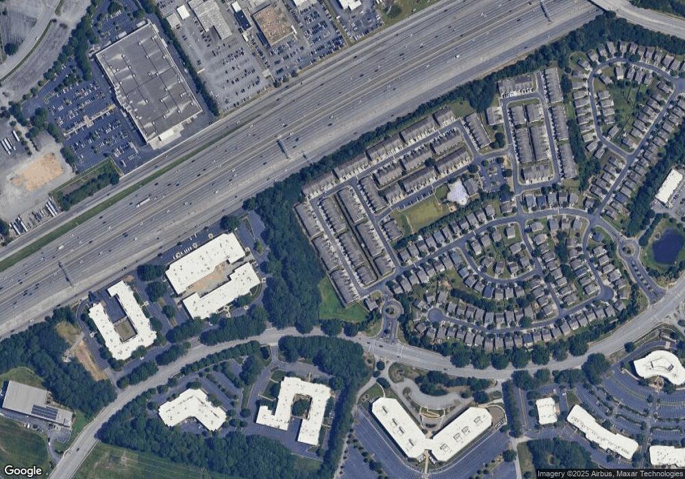
Map
Nearby Homes
- 1938 Dilcrest Dr
- 2176 Executive Dr
- 2193 Executive Dr
- 2218 Executive Dr
- 1950 Durwood Ln
- 3142 Creston Park Ct Unit 85
- 3102 Briaroak Dr
- 3500 Sweetwater Rd Unit 225
- 3273 Tennington Place
- 1290 Old Victorian Ct
- 4245 Holland Grove Rd
- 1156 Woodington Cir Unit 2
- 3285 Long Iron Place
- 3284 Long Iron Place
- 2647 Devon Vale St
- 3125 Oxwell Dr Unit IB
- 1000 Country Ct
- 3223 Long Iron Dr
- 1012 Country Ct
- 3615 Shore Wood Ave
- 2093 Executive Dr
- 2093 Executive Dr Unit 147
- 2091 Executive Dr
- 2099 Executive Dr Unit 2163
- 2099 Executive Dr
- 2089 Executive Dr
- 2101 Executive Dr
- 2087 Executive Dr
- 2103 Executive Dr
- 1924 Dilcrest Dr
- 1926 Dilcrest Dr
- 2085 Executive Dr
- 2085 Executive Dr
- 1922 Dilcrest Dr
- 1930 Dilcrest Dr Unit 1930
- 2105 Executive Dr
- 2105 Executive Dr Unit 2105
- 1920 Dilcrest Dr
- 1932 Dilcr Drive
- 1932 Dilcrest Dr
Your Personal Tour Guide
Ask me questions while you tour the home.