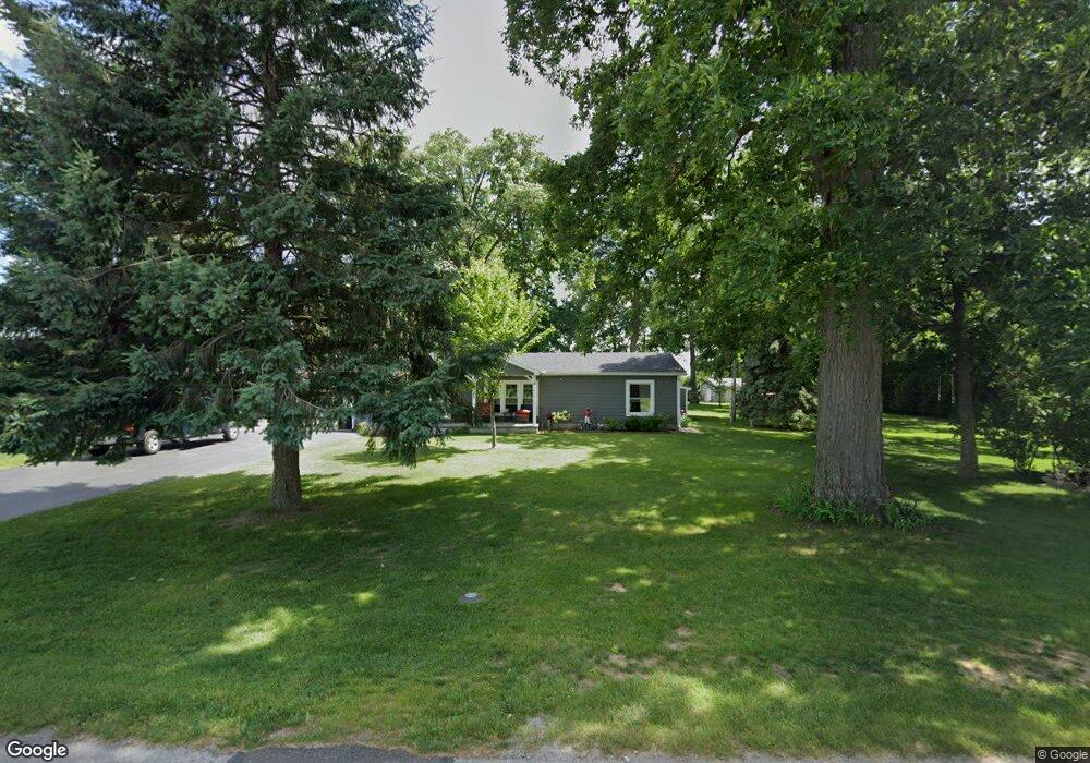
20975 Euler Rd Weston, OH 43569
Estimated Value: $149,000 - $168,431
Studio
--
Bath
108
Sq Ft
$1,492/Sq Ft
Est. Value
About This Home
This home is located at 20975 Euler Rd, Weston, OH 43569 and is currently estimated at $161,144, approximately $1,492 per square foot. 20975 Euler Rd is a home located in Wood County with nearby schools including Otsego Elementary School, Otsego Junior High School, and Otsego High School.
Ownership History
Date
Name
Owned For
Owner Type
Purchase Details
Closed on
Mar 27, 2024
Sold by
Dewese Charles E and Dewese Tammy L
Bought by
Dewese Charles E and Dewese Tammy L
Current Estimated Value
Purchase Details
Closed on
Mar 19, 2021
Sold by
Allen Lori L and Dewese Lori L
Bought by
Dewese Charles E and Dewese Tammy L
Purchase Details
Closed on
Oct 31, 2013
Sold by
Dewese Lacey L
Bought by
Dewese Charles E and Dewese Tammy
Purchase Details
Closed on
Apr 1, 2005
Sold by
Dewese Lacey L and Dewese Lori L
Bought by
Dewese Tammy
Purchase Details
Closed on
Nov 2, 1988
Bought by
Dewese Charles E Le
Create a Home Valuation Report for This Property
The Home Valuation Report is an in-depth analysis detailing your home's value as well as a comparison with similar homes in the area
Purchase History
| Date | Buyer | Sale Price | Title Company |
|---|---|---|---|
| Dewese Charles E | -- | None Listed On Document | |
| Dewese Charles E | $10,000 | None Available | |
| Dewese Charles E | $10,000 | None Listed On Document | |
| Dewese Charles E | $10,000 | None Available | |
| Dewese Tammy | -- | -- | |
| Dewese Charles E Le | -- | -- |
Source: Public Records
Tax History
| Year | Tax Paid | Tax Assessment Tax Assessment Total Assessment is a certain percentage of the fair market value that is determined by local assessors to be the total taxable value of land and additions on the property. | Land | Improvement |
|---|---|---|---|---|
| 2025 | $1,104 | $36,155 | $25,480 | $10,675 |
| 2024 | $1,158 | $36,155 | $25,480 | $10,675 |
| 2023 | $1,158 | $36,160 | $25,480 | $10,680 |
| 2022 | $788 | $34,650 | $23,730 | $10,920 |
| 2021 | $778 | $34,650 | $23,730 | $10,920 |
| 2020 | $774 | $34,650 | $23,730 | $10,920 |
| 2019 | $747 | $31,710 | $22,260 | $9,450 |
| 2018 | $769 | $31,710 | $22,260 | $9,450 |
| 2017 | $1,137 | $31,710 | $22,260 | $9,450 |
| 2016 | $1,200 | $25,070 | $14,880 | $10,190 |
| 2015 | $1,200 | $25,070 | $14,880 | $10,190 |
| 2014 | $1,146 | $25,070 | $14,880 | $10,190 |
| 2013 | $619 | $25,070 | $14,880 | $10,190 |
Source: Public Records
Map
Nearby Homes
- 13439 Ash St
- 20280 Locust St
- 20175 Taylor St
- 22487 U S 6
- 21490 Portage Rd
- 0 Sand Ridge Rd Unit 10004038
- 17884 Euler Rd
- 17345 Reams Rd
- 0 Kellogg Rd Unit 6125521
- 16313 Euler Rd
- 23763 Front St
- 0 Manore Lot A Rd Unit 6130402
- 0 Manore Lot B Rd Unit 6130403
- 14590 Liberty Hi Rd
- 24526 Village Ln Unit 24526
- 16920 Long Judson Rd
- 16896 Long Judson Rd
- 12577 S River Rd
- 22759 Defiance Pike
- 12200 S River Rd
Your Personal Tour Guide
Ask me questions while you tour the home.