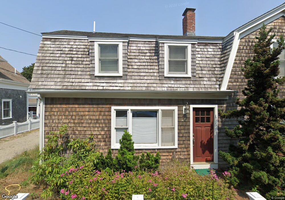
21 Bangs St Provincetown, MA 02657
Provincetown AreaEstimated Value: $1,746,011 - $2,180,000
About This Home
This home is located at 21 Bangs St, Provincetown, MA 02657 and is currently estimated at $1,945,253, approximately $1,306 per square foot. 21 Bangs St is a home located in Barnstable County with nearby schools including Provincetown Schools.
Ownership History
We collect this data history from publicly available records. To have your information removed, we recommend requesting removal directly through your county’s website.
Purchase Details
Purchase Details
Home Values in the Area
Average Home Value in this Area
Purchase History
We collect this data history from publicly available records. To have your information removed, we recommend requesting removal directly through your county’s website.
| Date | Buyer | Sale Price | Title Company |
|---|---|---|---|
| $142,000 | -- | ||
| $140,000 | -- |
Tax History
We collect this data history from publicly available records. To have your information removed, we recommend requesting removal directly through your county’s website.
| Year | Tax Paid | Tax Assessment Tax Assessment Total Assessment is a certain percentage of the fair market value that is determined by local assessors to be the total taxable value of land and additions on the property. | Land | Improvement |
|---|---|---|---|---|
| 2025 | $7,760 | $1,385,700 | $503,100 | $882,600 |
| 2024 | $7,509 | $1,345,700 | $479,400 | $866,300 |
| 2023 | $6,965 | $1,164,700 | $416,900 | $747,800 |
| 2022 | $6,336 | $951,300 | $389,700 | $561,600 |
| 2021 | $5,934 | $838,100 | $354,200 | $483,900 |
| 2020 | $5,389 | $814,000 | $354,200 | $459,800 |
| 2019 | $5,457 | $772,900 | $343,900 | $429,000 |
| 2018 | $5,041 | $676,700 | $336,400 | $340,300 |
| 2017 | $4,910 | $636,800 | $329,800 | $307,000 |
| 2016 | $4,910 | $629,500 | $355,800 | $273,700 |
| 2015 | $3,765 | $510,100 | $244,100 | $266,000 |
Map
- 196 Bradford St
- 208 Bradford St Unit 11
- 484 Commercial St Unit 3
- 6 Daggett Ln
- 216 Bradford St Unit 1-8
- 216 Bradford St
- 442 Commercial St Unit 2
- 496 Commercial St Unit 4
- 17 Miller Hill Rd
- 31 Miller Hill Rd Unit 51R
- 5 Kiley Ct Unit 1
- 5 Kiley Ct Unit 4
- 7 Miller Hill Rd Unit 1
- 441 Commercial St Unit B
- 86 Harry Kemp Way Unit A
- 86 Harry Kemp Way
- 86 Harry Kemp Way Unit B
- 23 Harry Kemp Way Unit A
- 23 Harry Kemp Way Unit A
- 52 Harry Kemp Way Unit 6
- 202 Bradford St Unit 5
- 202 Bradford St Unit 4
- 202 Bradford St Unit 3
- 202 Bradford St Unit 2
- 202 Bradford St Unit 1
- 202 Bradford St
- 202 Bradford St Unit 1-5
- 202B Bradford St
- 202A Bradford St Unit 5
- 202A Bradford St Unit 2
- 202A Bradford St Unit 3
- 202A Bradford St Unit 4
- 202A Bradford St Unit 1
- 204 Bradford St
- 198 Bradford St
- 6-A Willow Dr
- 200-A Bradford St
- 8 Willow Dr
- 4 Willow Dr Unit 10
- 4 Willow Dr Unit 9
Ask me questions while you tour the home.