21 Bar Hill Dr Addison, ME 04606
Estimated Value: $481,000 - $573,000
3
Beds
2
Baths
1,536
Sq Ft
$350/Sq Ft
Est. Value
About This Home
This home is located at 21 Bar Hill Dr, Addison, ME 04606 and is currently estimated at $536,878, approximately $349 per square foot. 21 Bar Hill Dr is a home.
Create a Home Valuation Report for This Property
The Home Valuation Report is an in-depth analysis detailing your home's value as well as a comparison with similar homes in the area
Tax History
| Year | Tax Paid | Tax Assessment Tax Assessment Total Assessment is a certain percentage of the fair market value that is determined by local assessors to be the total taxable value of land and additions on the property. | Land | Improvement |
|---|---|---|---|---|
| 2025 | $6,846 | $354,700 | $160,200 | $194,500 |
| 2024 | $6,640 | $354,700 | $160,200 | $194,500 |
| 2023 | $6,108 | $354,700 | $160,200 | $194,500 |
| 2022 | $5,762 | $347,100 | $152,600 | $194,500 |
| 2021 | $4,837 | $291,400 | $152,600 | $138,800 |
| 2020 | $4,136 | $258,500 | $152,600 | $105,900 |
| 2019 | $3,857 | $242,600 | $152,600 | $90,000 |
| 2018 | $3,857 | $242,600 | $152,600 | $90,000 |
| 2017 | $3,857 | $242,600 | $152,600 | $90,000 |
| 2016 | $3,557 | $243,600 | $152,600 | $91,000 |
| 2015 | $3,496 | $243,600 | $152,600 | $91,000 |
| 2014 | $3,264 | $243,600 | $152,600 | $91,000 |
| 2013 | $3,045 | $243,600 | $152,600 | $91,000 |
Source: Public Records
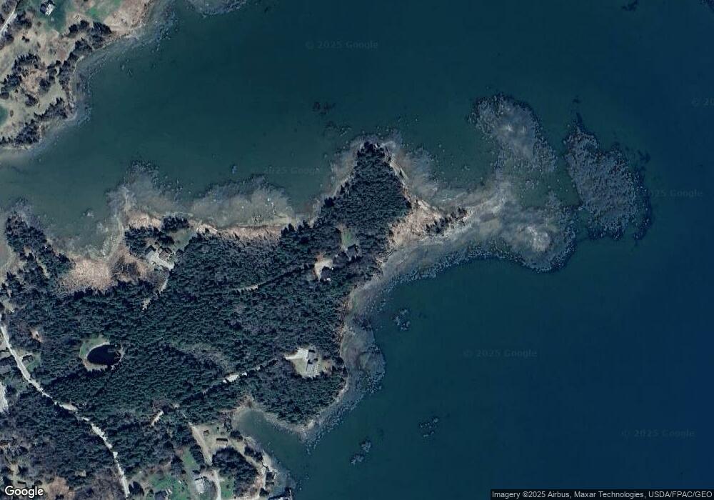
Map
Nearby Homes
- 397 Cape Split Rd
- 00 Eagle Island
- 29 Hotel Cove Rd
- 780 E Side Rd
- M17L21 Basin Rd
- map 17 Basin Rd Unit lot 24
- 251 Ripley Neck Rd
- Lot 15-5 Fort Williams Rd
- Lot # 15-2 Fort Williams Rd
- Lot B Fort Williams Rd
- 0 Pomp Island Unit 1652405
- Lot 13 Reef Point Rd
- Lot 12 Reef Point Rd
- M20L2 E Side Rd
- Lot 1 Windward Way
- 100 Hardwood Point
- 16 & 18 Nelson Way
- Lot 25-3 Flat Bay Dr
- 337 W Side Rd
- Lot #8 Seaberry Landing Rd
- 15 Dyers Point Ln
- 18 Dyers Point Ln
- 10 Bar Hill Dr
- 430 Cape Split Rd
- 434 Cape Split Rd
- 392 Cape Split Rd
- 452 Cape Split Rd
- 456 Cape Split Rd
- 1 Gilman Wass Rd
- 0Unk Gillman Wass Ln
- 3 Gilman Wass Rd
- 401 Cape Split Rd
- 440 Cape Split Rd
- 306 Cape Split Rd
- 332 Cape Split Rd
- 10 Kiye Point
- 360 Cape Split Rd
- Lot 18 Gilman Wass Rd
- 26 Kiye Point
- 288 Cape Split Rd
Your Personal Tour Guide
Ask me questions while you tour the home.