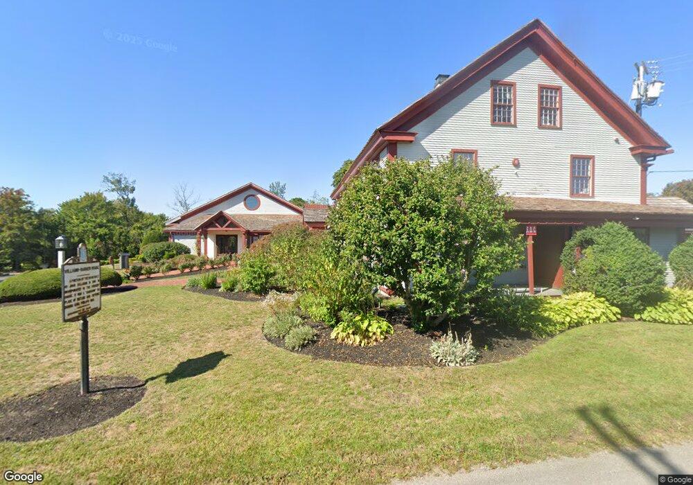
21 Barker Rd Scituate, MA 02066
Estimated Value: $3,670,523
Studio
--
Bath
12,506
Sq Ft
$294/Sq Ft
Est. Value
About This Home
This home is located at 21 Barker Rd, Scituate, MA 02066 and is currently estimated at $3,670,523, approximately $293 per square foot. 21 Barker Rd is a home located in Plymouth County with nearby schools including Jenkins Elementary School, Lester J. Gates Middle School, and Scituate High School.
Ownership History
Date
Name
Owned For
Owner Type
Purchase Details
Closed on
Feb 24, 2023
Sold by
Z Golf Food & Beverage Sv
Bought by
Tlw Scituate Realty Llc
Current Estimated Value
Purchase Details
Closed on
Feb 23, 2023
Sold by
Mildi T
Bought by
Z Golf Food & Bevorage Sv
Purchase Details
Closed on
Nov 18, 1980
Bought by
Iordanopoulos Elias
Create a Home Valuation Report for This Property
The Home Valuation Report is an in-depth analysis detailing your home's value as well as a comparison with similar homes in the area
Home Values in the Area
Average Home Value in this Area
Purchase History
| Date | Buyer | Sale Price | Title Company |
|---|---|---|---|
| Tlw Scituate Realty Llc | -- | None Available | |
| Z Golf Food & Bevorage Sv | -- | None Available | |
| Iordanopoulos Elias | -- | -- |
Source: Public Records
Mortgage History
| Date | Status | Borrower | Loan Amount |
|---|---|---|---|
| Previous Owner | Iordanopoulos Elias | $270,000 | |
| Previous Owner | Iordanopoulos Elias | $200,000 |
Source: Public Records
Tax History
| Year | Tax Paid | Tax Assessment Tax Assessment Total Assessment is a certain percentage of the fair market value that is determined by local assessors to be the total taxable value of land and additions on the property. | Land | Improvement |
|---|---|---|---|---|
| 2025 | $28,852 | $2,888,100 | $790,700 | $2,097,400 |
| 2024 | $29,050 | $2,804,100 | $767,700 | $2,036,400 |
| 2023 | $29,848 | $2,681,800 | $735,700 | $1,946,100 |
| 2022 | $29,856 | $2,365,800 | $645,300 | $1,720,500 |
| 2021 | $30,678 | $2,301,400 | $614,600 | $1,686,800 |
| 2020 | $30,625 | $2,268,500 | $614,600 | $1,653,900 |
| 2019 | $30,253 | $2,201,800 | $602,600 | $1,599,200 |
| 2018 | $27,966 | $2,004,700 | $550,100 | $1,454,600 |
| 2017 | $28,246 | $2,004,700 | $550,100 | $1,454,600 |
| 2016 | $28,346 | $2,004,700 | $550,100 | $1,454,600 |
| 2015 | $26,262 | $2,004,700 | $550,100 | $1,454,600 |
Source: Public Records
Map
Nearby Homes
- 32 Barker Rd Unit 3
- 11 Brookline Rd
- 33 Beaver Dam Rd
- 23 Sunset Rd
- 21 Circuit Ave
- 46 Tilden Rd
- 44 Kane Dr
- 20 Meeting House Ln
- 55 Crescent Ave
- 49 Jackson Rd
- 3 Egypt Ave
- 1 Washington Ln
- 24 Ridge Hill Rd
- 20 Lawson Rd
- 74 Branch St Unit 15
- 111 Elm St
- 59 Greenfield Ln
- 115 Elm St
- 15 Bearce Ln
- 20 Grace Way Unit 20
- 38 Stewart Place
- 27 Barker Rd
- 17 Brookland Rd
- 36 Stewart Place
- 21 Wellesley Rd
- 24 Wellesley Rd
- 14 Brookline Rd
- 11 Hillcrest Rd
- 17 Wellesley Rd
- 33 Barker Rd
- 32 Barker Rd Unit 4
- 32 Barker Rd Unit 2
- 32 Barker Rd Unit 1
- 32 Barker Rd Unit 32
- 37 Barker Rd
- 20 Brookland Rd
- 18 Wellesley Rd
- 10 Brookline Rd
- 11 Wellesley Rd
- 11 Wellesley Rd Unit na
Your Personal Tour Guide
Ask me questions while you tour the home.