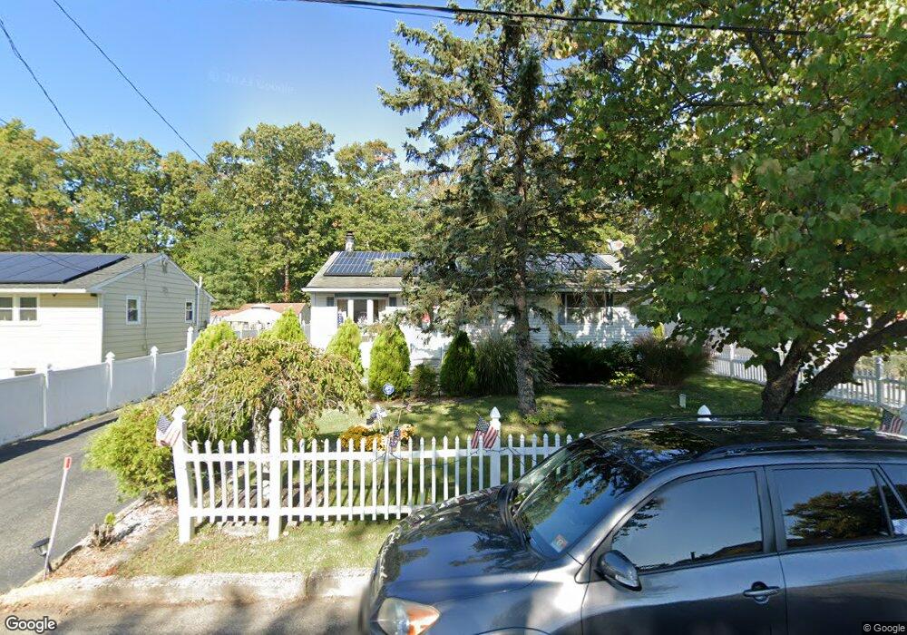
21 Battles Rd Williamstown, NJ 08094
Monroe NeighborhoodEstimated Value: $279,000 - $293,000
Studio
--
Bath
898
Sq Ft
$321/Sq Ft
Est. Value
About This Home
This home is located at 21 Battles Rd, Williamstown, NJ 08094 and is currently estimated at $288,164, approximately $320 per square foot. 21 Battles Rd is a home located in Gloucester County with nearby schools including Williamstown High School, St. Mary School, and Finest of the Wheat Christian.
Ownership History
Date
Name
Owned For
Owner Type
Purchase Details
Closed on
Mar 4, 2010
Sold by
Mitchell Steven Robert and Kaur Inderjit
Bought by
Mitchell Steven Robert and Kaur Inderjit
Current Estimated Value
Home Financials for this Owner
Home Financials are based on the most recent Mortgage that was taken out on this home.
Original Mortgage
$152,750
Outstanding Balance
$101,442
Interest Rate
5.02%
Mortgage Type
New Conventional
Estimated Equity
$186,722
Purchase Details
Closed on
Dec 13, 2006
Sold by
Lloyd Howard
Bought by
Glass Steven and Kaur Inderjit
Home Financials for this Owner
Home Financials are based on the most recent Mortgage that was taken out on this home.
Original Mortgage
$148,000
Interest Rate
6.31%
Mortgage Type
Purchase Money Mortgage
Create a Home Valuation Report for This Property
The Home Valuation Report is an in-depth analysis detailing your home's value as well as a comparison with similar homes in the area
Home Values in the Area
Average Home Value in this Area
Purchase History
| Date | Buyer | Sale Price | Title Company |
|---|---|---|---|
| Mitchell Steven Robert | -- | Service Link | |
| Glass Steven | $185,000 | -- |
Source: Public Records
Mortgage History
| Date | Status | Borrower | Loan Amount |
|---|---|---|---|
| Open | Mitchell Steven Robert | $152,750 | |
| Closed | Glass Steven | $148,000 |
Source: Public Records
Tax History
| Year | Tax Paid | Tax Assessment Tax Assessment Total Assessment is a certain percentage of the fair market value that is determined by local assessors to be the total taxable value of land and additions on the property. | Land | Improvement |
|---|---|---|---|---|
| 2025 | $5,002 | $136,600 | $40,300 | $96,300 |
| 2024 | $4,965 | $136,600 | $40,300 | $96,300 |
| 2023 | $4,965 | $136,600 | $40,300 | $96,300 |
| 2022 | $4,942 | $136,600 | $40,300 | $96,300 |
| 2021 | $4,974 | $136,600 | $40,300 | $96,300 |
| 2020 | $4,968 | $136,600 | $40,300 | $96,300 |
| 2019 | $4,938 | $136,600 | $40,300 | $96,300 |
| 2018 | $4,858 | $136,600 | $40,300 | $96,300 |
| 2017 | $4,987 | $140,800 | $56,500 | $84,300 |
| 2016 | $4,924 | $140,800 | $56,500 | $84,300 |
| 2015 | $4,783 | $140,800 | $56,500 | $84,300 |
| 2014 | $4,644 | $140,800 | $56,500 | $84,300 |
Source: Public Records
Map
Nearby Homes
- 2088 Burlington Cir
- 2393 S Black Horse Pike
- 2410 S Black Horse Pike
- 2019 Cumberland Ct
- 2430 S Black Horse Pike
- 2203 Monmouth Ln
- 2443 S Black Horse Pike
- 2494 S Black Horse Pk Pike
- 1851 S Black Horse Pk Pike
- 0 Black Horse Pike Unit NJGL2064170
- 0 N Shore Dr Unit NJGL2067006
- 0 N Shore Dr Unit NJGL2067656
- 540 Dogwood Ln
- 112 Karen Dr
- 248 Karen Dr
- 1666 Holly Pkwy
- 1665 Carriage Dr
- 451 E Malaga Rd
- 3511 S Shore Dr
- 1346 Corkery Ln
Your Personal Tour Guide
Ask me questions while you tour the home.