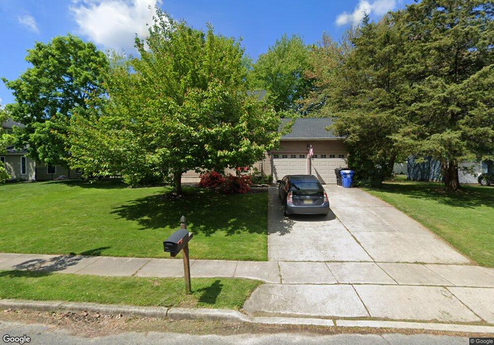
21 Brookview Dr Mantua, NJ 08051
Estimated Value: $375,849 - $487,000
Studio
--
Bath
1,612
Sq Ft
$273/Sq Ft
Est. Value
About This Home
This home is located at 21 Brookview Dr, Mantua, NJ 08051 and is currently estimated at $440,712, approximately $273 per square foot. 21 Brookview Dr is a home located in Gloucester County with nearby schools including Centre City School, J. Mason Tomlin Elementary School, and Clearview Regional Middle School.
Ownership History
Date
Name
Owned For
Owner Type
Purchase Details
Closed on
May 11, 2010
Sold by
Fratini Jennifer V and Fratini Michael J
Bought by
Fratini Jennifer V and Fratini Michael J
Current Estimated Value
Home Financials for this Owner
Home Financials are based on the most recent Mortgage that was taken out on this home.
Original Mortgage
$221,815
Outstanding Balance
$151,911
Interest Rate
5.5%
Mortgage Type
FHA
Estimated Equity
$288,801
Purchase Details
Closed on
Dec 11, 2002
Sold by
Pompe Joseph and Pompe Patricia
Bought by
Frantini Michael J and Frantini Jennifer
Home Financials for this Owner
Home Financials are based on the most recent Mortgage that was taken out on this home.
Original Mortgage
$143,900
Interest Rate
6.02%
Create a Home Valuation Report for This Property
The Home Valuation Report is an in-depth analysis detailing your home's value as well as a comparison with similar homes in the area
Home Values in the Area
Average Home Value in this Area
Purchase History
| Date | Buyer | Sale Price | Title Company |
|---|---|---|---|
| Fratini Jennifer V | -- | E L T G Llc | |
| Frantini Michael J | $179,900 | -- |
Source: Public Records
Mortgage History
| Date | Status | Borrower | Loan Amount |
|---|---|---|---|
| Open | Fratini Jennifer V | $221,815 | |
| Closed | Frantini Michael J | $143,900 |
Source: Public Records
Tax History
| Year | Tax Paid | Tax Assessment Tax Assessment Total Assessment is a certain percentage of the fair market value that is determined by local assessors to be the total taxable value of land and additions on the property. | Land | Improvement |
|---|---|---|---|---|
| 2025 | $8,698 | $337,800 | $108,000 | $229,800 |
| 2024 | $8,607 | $337,800 | $108,000 | $229,800 |
| 2023 | $8,607 | $337,800 | $108,000 | $229,800 |
| 2022 | $7,538 | $215,500 | $60,000 | $155,500 |
| 2021 | $7,594 | $215,500 | $60,000 | $155,500 |
| 2020 | $7,534 | $215,500 | $60,000 | $155,500 |
| 2019 | $7,407 | $215,500 | $60,000 | $155,500 |
| 2018 | $7,301 | $215,500 | $60,000 | $155,500 |
| 2017 | $7,191 | $215,500 | $60,000 | $155,500 |
| 2016 | $7,109 | $215,500 | $60,000 | $155,500 |
| 2015 | $6,935 | $215,500 | $60,000 | $155,500 |
| 2014 | $6,702 | $215,500 | $60,000 | $155,500 |
Source: Public Records
Map
Nearby Homes
- 2 Candlewood Dr
- 654 Helena Ave
- 237 Capital Dr
- 608 Main St
- 36 Bluebird Rd
- 325 Bridgeton Pike
- 319 Bridgeton Pike
- 680 Main St
- 303 Main St
- 188 Mockingbird Ln
- 267 Mccarthy Ave
- 203 Tony Cir Unit 203
- 241 Tony Cir Unit 241
- 606 Sangreal Ct Unit 505
- 446 Heritage Rd
- 1225 Tristram Cir Unit 1225
- 6 Marathon Dr
- 137 Pendragon Way
- 131 Firth Dr
- 146 Main St
Your Personal Tour Guide
Ask me questions while you tour the home.