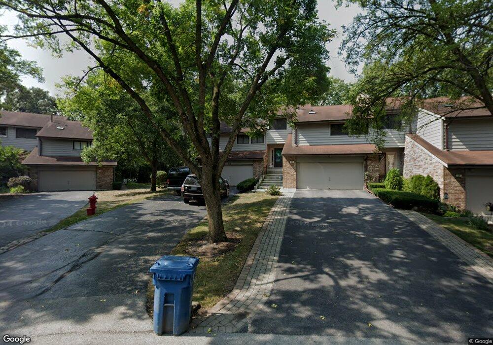
21 Commons Dr Palos Park, IL 60464
Ishnala NeighborhoodEstimated Value: $319,000 - $432,000
About This Home
This home is located at 21 Commons Dr, Palos Park, IL 60464 and is currently estimated at $372,507, approximately $193 per square foot. 21 Commons Dr is a home located in Cook County with nearby schools including Palos East Elementary School, Palos South Middle School, and Amos Alonzo Stagg High School.
Ownership History
We collect this data history from publicly available records. To have your information removed, we recommend requesting removal directly through your county’s website.
Purchase Details
Purchase Details
Purchase Details
Home Values in the Area
Average Home Value in this Area
Purchase History
We collect this data history from publicly available records. To have your information removed, we recommend requesting removal directly through your county’s website.
| Date | Buyer | Sale Price | Title Company |
|---|---|---|---|
| $305,000 | First American Title | ||
| $260,000 | First American Title | ||
| -- | -- |
Tax History
We collect this data history from publicly available records. To have your information removed, we recommend requesting removal directly through your county’s website.
| Year | Tax Paid | Tax Assessment Tax Assessment Total Assessment is a certain percentage of the fair market value that is determined by local assessors to be the total taxable value of land and additions on the property. | Land | Improvement |
|---|---|---|---|---|
| 2025 | $5,736 | $30,000 | $1,106 | $28,894 |
| 2024 | $5,736 | $30,000 | $1,106 | $28,894 |
| 2023 | $5,523 | $30,000 | $1,106 | $28,894 |
| 2022 | $5,523 | $25,192 | $3,465 | $21,727 |
| 2021 | $5,172 | $25,192 | $3,465 | $21,727 |
| 2020 | $5,107 | $25,192 | $3,465 | $21,727 |
| 2019 | $4,907 | $25,671 | $3,170 | $22,501 |
| 2018 | $6,498 | $25,671 | $3,170 | $22,501 |
| 2017 | $4,810 | $25,671 | $3,170 | $22,501 |
| 2016 | $4,562 | $22,113 | $2,727 | $19,386 |
| 2015 | $4,643 | $22,113 | $2,727 | $19,386 |
| 2014 | $4,614 | $22,113 | $2,727 | $19,386 |
| 2013 | $5,387 | $26,588 | $2,727 | $23,861 |
Map
- 110 Commons Dr
- 12421 S 83rd Ave
- 11917 S Timberlane Dr
- 11923 Southwest Hwy
- 8510 W 122nd Place
- 19 Saint Moritz Dr Unit 201
- 12616 S 83rd Ave
- 8150 W Brookside Dr Unit 204
- 8609 W 121st St
- 11725 S Black Forest Ln
- 11716 S Black Forest Ln
- 12700 S 84th Ave
- 12610 S London Ln Unit 3
- 11657 S Matterhorn Cir Unit 102
- 8623 S Roma Rd
- 12132 S Harold Ave
- 12013 S 76th Ave
- 8623 W Algoma Rd
- 11742 Lighthouse Ln
- 11733 Seagull Ln
Ask me questions while you tour the home.