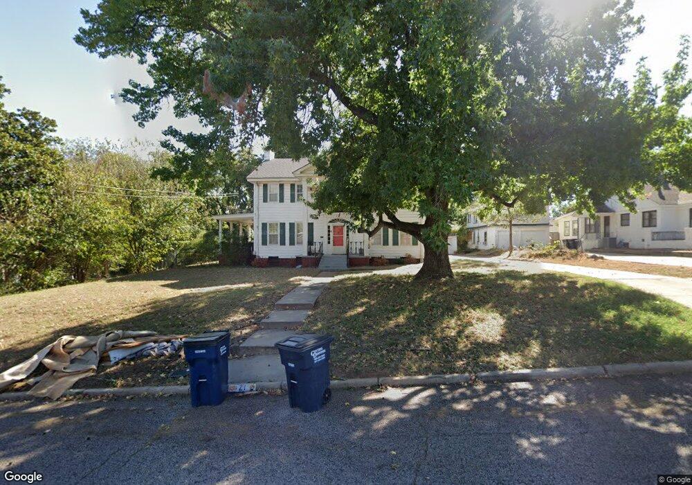
21 E Ayre St Shawnee, OK 74801
Estimated Value: $250,000 - $299,000
4
Beds
2
Baths
2,720
Sq Ft
$100/Sq Ft
Est. Value
About This Home
This home is located at 21 E Ayre St, Shawnee, OK 74801 and is currently estimated at $270,836, approximately $99 per square foot. 21 E Ayre St is a home located in Pottawatomie County with nearby schools including Sequoyah Elementary School, Shawnee Middle School, and Shawnee High School.
Ownership History
Date
Name
Owned For
Owner Type
Purchase Details
Closed on
Sep 19, 2022
Sold by
Kathleen Rene Blasier Living Trust
Bought by
Allegre Joseph
Current Estimated Value
Home Financials for this Owner
Home Financials are based on the most recent Mortgage that was taken out on this home.
Original Mortgage
$198,056
Outstanding Balance
$188,263
Interest Rate
4.99%
Mortgage Type
FHA
Estimated Equity
$82,573
Purchase Details
Closed on
May 20, 2009
Sold by
Blasier Kathleen Rene
Bought by
Blasier Kathleen Rene and Kathleen Rene Blasier Living Trust
Purchase Details
Closed on
Dec 19, 2001
Sold by
Rau Katrina
Bought by
Blasier Kathleen Rene'
Purchase Details
Closed on
Feb 11, 1992
Sold by
Baker Louise
Bought by
Baker Louise
Create a Home Valuation Report for This Property
The Home Valuation Report is an in-depth analysis detailing your home's value as well as a comparison with similar homes in the area
Purchase History
| Date | Buyer | Sale Price | Title Company |
|---|---|---|---|
| Allegre Joseph | $229,000 | First American Title | |
| Blasier Kathleen Rene | -- | None Available | |
| Blasier Kathleen Rene' | $150,000 | -- | |
| Baker Louise | -- | -- |
Source: Public Records
Mortgage History
| Date | Status | Borrower | Loan Amount |
|---|---|---|---|
| Open | Allegre Joseph | $198,056 |
Source: Public Records
Tax History
| Year | Tax Paid | Tax Assessment Tax Assessment Total Assessment is a certain percentage of the fair market value that is determined by local assessors to be the total taxable value of land and additions on the property. | Land | Improvement |
|---|---|---|---|---|
| 2025 | $2,813 | $29,153 | $925 | $28,228 |
| 2023 | $2,766 | $27,480 | $856 | $26,624 |
| 2022 | $2,074 | $21,214 | $856 | $20,358 |
| 2021 | $2,073 | $21,570 | $1,176 | $20,394 |
| 2020 | $2,079 | $21,573 | $1,176 | $20,397 |
| 2019 | $2,141 | $21,503 | $1,172 | $20,331 |
| 2018 | $2,034 | $20,877 | $1,166 | $19,711 |
| 2017 | $1,944 | $20,269 | $1,170 | $19,099 |
| 2016 | $1,906 | $19,678 | $517 | $19,161 |
| 2015 | $1,811 | $19,105 | $494 | $18,611 |
| 2014 | $1,755 | $18,549 | $449 | $18,100 |
Source: Public Records
Map
Nearby Homes
- 1510 N Union Ave
- 1102 N Park Ave
- 1607 N Beard Ave
- 1617 N Beard St
- 0 Independence and Minnesota St
- 1432 N Park Ave
- 210 E Cammack
- 1505 N Louisa Ave
- 1805 N Philadelphia Ave
- 1815 N Bell Ave
- 1822 N Philadelphia Ave
- 824 N Union Ave
- 902 N Beard Ave
- 1108 N Pennsylvania Ave
- 1824 N Minnesota Ave
- 1712 N Pennsylvania Ave
- 1901 N Bell Ave
- 434 E Wallace St
- 1928 N Broadway Ave
- 1908 N Bdwy Ave
Your Personal Tour Guide
Ask me questions while you tour the home.