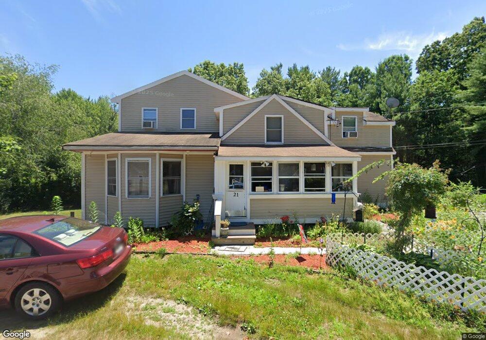
21 Ferris St Hanson, MA 02341
Estimated Value: $524,000 - $620,000
3
Beds
2
Baths
2,085
Sq Ft
$270/Sq Ft
Est. Value
About This Home
This home is located at 21 Ferris St, Hanson, MA 02341 and is currently estimated at $563,088, approximately $270 per square foot. 21 Ferris St is a home.
Ownership History
Date
Name
Owned For
Owner Type
Purchase Details
Closed on
Mar 2, 2016
Sold by
Avery Brian and Avery Angela
Bought by
Avery Brian and Avery Angela
Current Estimated Value
Purchase Details
Closed on
Oct 5, 2010
Sold by
Avery Brian and Avery Angela
Bought by
Avery Brian and Avery Angela
Home Financials for this Owner
Home Financials are based on the most recent Mortgage that was taken out on this home.
Original Mortgage
$235,532
Interest Rate
4.44%
Mortgage Type
FHA
Purchase Details
Closed on
Sep 29, 2008
Sold by
Avery Angela
Bought by
Avery Brian and Avery Angela
Home Financials for this Owner
Home Financials are based on the most recent Mortgage that was taken out on this home.
Original Mortgage
$225,787
Interest Rate
6.57%
Mortgage Type
Purchase Money Mortgage
Purchase Details
Closed on
Mar 30, 2005
Sold by
Avery Brian C and Avery Angela
Bought by
Avery Angela
Purchase Details
Closed on
Jan 21, 1994
Sold by
Springfield Inst Svgs
Bought by
Avery Brian C and Avery Angela
Purchase Details
Closed on
Nov 23, 1993
Sold by
Martz John W and Spfd Instn For Svgs
Bought by
Spfd Instn For Svgs
Create a Home Valuation Report for This Property
The Home Valuation Report is an in-depth analysis detailing your home's value as well as a comparison with similar homes in the area
Home Values in the Area
Average Home Value in this Area
Purchase History
| Date | Buyer | Sale Price | Title Company |
|---|---|---|---|
| Avery Brian | -- | -- | |
| Avery Brian | -- | -- | |
| Avery Brian | -- | -- | |
| Avery Angela | -- | -- | |
| Avery Brian C | $59,900 | -- | |
| Spfd Instn For Svgs | $54,600 | -- |
Source: Public Records
Mortgage History
| Date | Status | Borrower | Loan Amount |
|---|---|---|---|
| Previous Owner | Avery Brian | $235,532 | |
| Previous Owner | Spfd Instn For Svgs | $225,787 | |
| Previous Owner | Spfd Instn For Svgs | $217,000 |
Source: Public Records
Tax History
| Year | Tax Paid | Tax Assessment Tax Assessment Total Assessment is a certain percentage of the fair market value that is determined by local assessors to be the total taxable value of land and additions on the property. | Land | Improvement |
|---|---|---|---|---|
| 2025 | $5,799 | $433,400 | $143,400 | $290,000 |
| 2024 | $5,633 | $421,000 | $139,300 | $281,700 |
| 2023 | $5,452 | $384,500 | $139,300 | $245,200 |
| 2022 | $5,277 | $349,700 | $126,600 | $223,100 |
| 2021 | $4,492 | $297,500 | $121,800 | $175,700 |
| 2020 | $4,205 | $275,400 | $117,600 | $157,800 |
| 2019 | $3,945 | $254,000 | $108,100 | $145,900 |
| 2018 | $3,869 | $244,400 | $104,000 | $140,400 |
| 2017 | $3,650 | $228,400 | $92,400 | $136,000 |
| 2016 | $3,717 | $224,600 | $92,400 | $132,200 |
| 2015 | $3,498 | $219,700 | $92,400 | $127,300 |
Source: Public Records
Map
Nearby Homes
- 12 Santos Ct
- 22 Ocean Ave
- 15 Ocean Ave
- 534 Twin Lakes Dr
- 755 Center St
- 496 Main St Unit 2
- 51 Oletree Rd
- 8 10th Ave
- 11 Carol Ave
- 50 Christina Marie Dr
- 1054 Main St
- 266 Monponsett St Unit 1105
- 266 Monponsett St Unit 1201
- 266 Monponsett St Unit 1308
- 266 Monponsett St Unit 1101
- 266 Monponsett St Unit 1209
- 58 Maplewood Dr
- 10 Beach Rd
- 2 Country Club Dr
- 21 Parkwood Dr
- 9 Ferris St
- 18 Ferris St
- 34 Ferris St
- 20 Santos Ct
- 49 Woodbine Ave
- 20 Santos Ct
- 48 Briggs St
- 27 Woodbine Ave
- 25 Woodbine Ave
- 71 Woodbine Ave
- 2 Woodbine Ave
- 18 Briggs St
- 79 Hawthorne St
- 80 Woodbine Ave
- 11 Woodbine Ave
- 7 Woodbine Ave
- 793 Monponsett St
- 123 Woodbine Ave
- 755 Monponsett St
- 842 Monponsett St
Your Personal Tour Guide
Ask me questions while you tour the home.