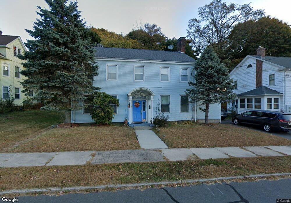
21 Hamilton St New Britain, CT 06052
Estimated Value: $323,000 - $357,000
4
Beds
2
Baths
1,966
Sq Ft
$170/Sq Ft
Est. Value
About This Home
This home is located at 21 Hamilton St, New Britain, CT 06052 and is currently estimated at $334,523, approximately $170 per square foot. 21 Hamilton St is a home located in Hartford County with nearby schools including Lincoln School, Slade Middle School, and Mountain Laurel Sudbury School.
Ownership History
Date
Name
Owned For
Owner Type
Purchase Details
Closed on
Jul 16, 2002
Sold by
Fournier Clifford H and Fournier Marjorie M
Bought by
Molokwu O B I
Current Estimated Value
Create a Home Valuation Report for This Property
The Home Valuation Report is an in-depth analysis detailing your home's value as well as a comparison with similar homes in the area
Home Values in the Area
Average Home Value in this Area
Purchase History
We collect this data history from publicly available records. To have your information removed, we recommend requesting removal directly through your county’s website.
| Date | Buyer | Sale Price | Title Company |
|---|---|---|---|
| Molokwu O B I | $137,000 | -- |
Source: Public Records
Mortgage History
We collect this data history from publicly available records. To have your information removed, we recommend requesting removal directly through your county’s website.
| Date | Status | Borrower | Loan Amount |
|---|---|---|---|
| Open | Molokwu O B I | $198,239 | |
| Closed | Molokwu O B I | $192,000 | |
| Closed | Molokwu O B I | $158,400 | |
| Closed | Molokwu O B I | $135,908 |
Source: Public Records
Tax History
| Year | Tax Paid | Tax Assessment Tax Assessment Total Assessment is a certain percentage of the fair market value that is determined by local assessors to be the total taxable value of land and additions on the property. | Land | Improvement |
|---|---|---|---|---|
| 2025 | $5,310 | $135,520 | $41,580 | $93,940 |
| 2024 | $5,365 | $135,520 | $41,580 | $93,940 |
| 2023 | $5,188 | $135,520 | $41,580 | $93,940 |
| 2022 | $4,473 | $90,370 | $19,110 | $71,260 |
| 2021 | $4,473 | $90,370 | $19,110 | $71,260 |
| 2020 | $4,564 | $90,370 | $19,110 | $71,260 |
| 2019 | $4,564 | $90,370 | $19,110 | $71,260 |
| 2018 | $4,564 | $90,370 | $19,110 | $71,260 |
| 2017 | $4,550 | $90,090 | $17,570 | $72,520 |
| 2016 | $4,550 | $90,090 | $17,570 | $72,520 |
| 2015 | $4,414 | $90,090 | $17,570 | $72,520 |
| 2014 | $4,414 | $90,090 | $17,570 | $72,520 |
Source: Public Records
Map
Nearby Homes
- 156 Black Rock Ave
- 962 Corbin Ave
- 44 Steele St
- 112 Lincoln St
- 30 W End Ave
- 50 Vine St
- 68-70 Pennsylvania Ave
- 37 Richard St
- 40 Ten Acre Rd
- 7 Ledyard Rd
- 146 Victoria Rd
- 164 Curtis St
- 190 Hart St
- 14 Park Place Unit 4
- 272 Burritt St
- 61 Cedarwood Dr
- 16 Ardmore St
- 58 Cedarwood Dr
- 510 Corbin Ave
- 25 Clinton St
- 15 Hamilton St
- 25 Hamilton St
- 25 Hamilton St Unit 1Fl
- 99 Black Rock Ave
- 18 Hamilton St
- 33 Hamilton St
- 22 Hamilton St
- 105 Black Rock Ave
- 28 Hamilton St
- 59 Sherwood Rd
- 117 Black Rock Ave
- 30 Hamilton St
- 93 Black Rock Ave
- 123 Black Rock Ave
- 38 Hamilton St
- 85 Black Rock Ave
- 129 Black Rock Ave
- 133 Black Rock Ave
- 48 Hamilton St
- 112 Black Rock Ave
Your Personal Tour Guide
Ask me questions while you tour the home.