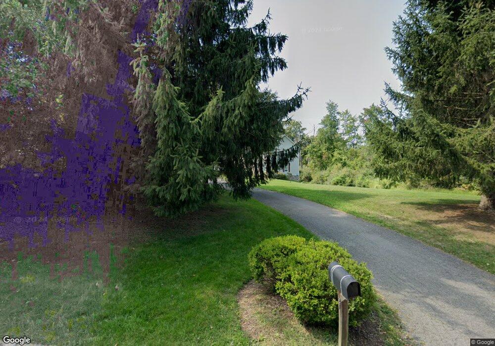
21 Hook Mountain Dr Annandale, NJ 08801
Estimated Value: $986,353 - $1,099,000
Studio
--
Bath
4,060
Sq Ft
$258/Sq Ft
Est. Value
About This Home
This home is located at 21 Hook Mountain Dr, Annandale, NJ 08801 and is currently estimated at $1,046,588, approximately $257 per square foot. 21 Hook Mountain Dr is a home located in Hunterdon County with nearby schools including Spruce Run School, Patrick McGaheran School, and Round Valley School.
Ownership History
Date
Name
Owned For
Owner Type
Purchase Details
Closed on
Apr 19, 2004
Sold by
Hutter Eric M and Hutter Mary C
Bought by
Ralston James R D and Ralston Jodi L H
Current Estimated Value
Purchase Details
Closed on
Aug 27, 1999
Sold by
Madison Heritage Llc
Bought by
Hutter Eric M and Hutter Mary C
Home Financials for this Owner
Home Financials are based on the most recent Mortgage that was taken out on this home.
Original Mortgage
$424,000
Interest Rate
7.5%
Create a Home Valuation Report for This Property
The Home Valuation Report is an in-depth analysis detailing your home's value as well as a comparison with similar homes in the area
Home Values in the Area
Average Home Value in this Area
Purchase History
We collect this data history from publicly available records. To have your information removed, we recommend requesting removal directly through your county’s website.
| Date | Buyer | Sale Price | Title Company |
|---|---|---|---|
| Ralston James R D | $705,000 | Chicago Title Insurance Co | |
| Hutter Eric M | $499,000 | -- |
Source: Public Records
Mortgage History
We collect this data history from publicly available records. To have your information removed, we recommend requesting removal directly through your county’s website.
| Date | Status | Borrower | Loan Amount |
|---|---|---|---|
| Previous Owner | Hutter Eric M | $424,000 |
Source: Public Records
Tax History
| Year | Tax Paid | Tax Assessment Tax Assessment Total Assessment is a certain percentage of the fair market value that is determined by local assessors to be the total taxable value of land and additions on the property. | Land | Improvement |
|---|---|---|---|---|
| 2025 | $16,011 | $537,100 | $150,600 | $386,500 |
| 2024 | $15,517 | $537,100 | $150,600 | $386,500 |
| 2023 | $15,517 | $537,100 | $150,600 | $386,500 |
| 2022 | $15,082 | $537,100 | $150,600 | $386,500 |
| 2021 | $15,821 | $537,100 | $150,600 | $386,500 |
| 2020 | $16,084 | $596,800 | $150,600 | $446,200 |
| 2019 | $15,821 | $596,800 | $150,600 | $446,200 |
| 2018 | $15,642 | $596,800 | $150,600 | $446,200 |
| 2017 | $15,141 | $596,800 | $150,600 | $446,200 |
| 2016 | $15,123 | $596,800 | $150,600 | $446,200 |
| 2015 | $15,218 | $596,800 | $150,600 | $446,200 |
| 2014 | $14,872 | $596,800 | $150,600 | $446,200 |
Source: Public Records
Map
Nearby Homes
- 2 King Hill Rd
- 23 Mark Dr
- 48 Northwood Dr
- 11 Overlook Dr
- 10 Watergate Dr
- 12 Watergate Dr
- 12 Timbercroft Rd
- 10 Timbercroft Rd
- 122 Forest Dr
- 9 N Star Dr
- 12 Tisco Ave
- 63 Highland Ave
- 8 Maryland Ave
- 52 Thomas St
- 11 Colonial Ct
- 34 Taylor St
- 18 Church St Unit 20
- 77 Main St
- 7 Central Ave Unit 7&9
- 20 Woodland Terrace
- 19 Hook Mountain Dr
- 22 Hook Mountain Dr
- 17 Hook Mountain Dr
- 24 Hook Mountain Dr
- 4 Charles Ct
- 27 Hook Mountain Dr
- 14 Cobblestone Ln
- 17 White Tail Way
- 1 Charles Ct
- 12 Cobblestone Ln
- 14 Hook Mountain Dr
- 3 Charles Ct
- 15 White Tail Way
- 16 Pine Place
- 19 White Tail Way
- 13 White Tail Way
- 14 Pine Place
- 11 White Tail Way
- 9 White Tail Way
- 10 Cobblestone Ln
Your Personal Tour Guide
Ask me questions while you tour the home.