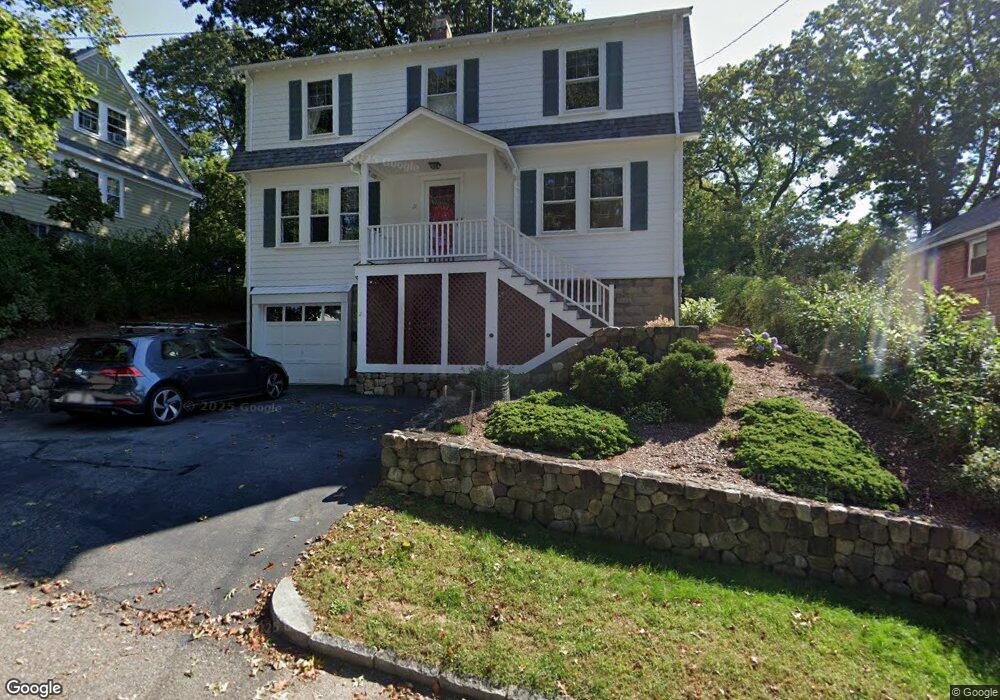
21 Lansdowne Rd Arlington, MA 02474
Arlington Heights NeighborhoodEstimated Value: $1,156,000 - $1,340,000
About This Home
This home is located at 21 Lansdowne Rd, Arlington, MA 02474 and is currently estimated at $1,241,968, approximately $570 per square foot. 21 Lansdowne Rd is a home located in Middlesex County with nearby schools including M. Norcross Stratton Elementary School, Ottoson Middle School, and Arlington High School.
Ownership History
We collect this data history from publicly available records. To have your information removed, we recommend requesting removal directly through your county’s website.
Purchase Details
Purchase Details
Home Values in the Area
Average Home Value in this Area
Purchase History
We collect this data history from publicly available records. To have your information removed, we recommend requesting removal directly through your county’s website.
| Date | Buyer | Sale Price | Title Company |
|---|---|---|---|
| -- | None Available | ||
| $68,500 | -- |
Mortgage History
We collect this data history from publicly available records. To have your information removed, we recommend requesting removal directly through your county’s website.
| Date | Status | Borrower | Loan Amount |
|---|---|---|---|
| Previous Owner | $50,000 |
Tax History
We collect this data history from publicly available records. To have your information removed, we recommend requesting removal directly through your county’s website.
| Year | Tax Paid | Tax Assessment Tax Assessment Total Assessment is a certain percentage of the fair market value that is determined by local assessors to be the total taxable value of land and additions on the property. | Land | Improvement |
|---|---|---|---|---|
| 2025 | $10,559 | $980,400 | $507,800 | $472,600 |
| 2024 | $10,000 | $944,300 | $501,700 | $442,600 |
| 2023 | $9,594 | $855,800 | $452,100 | $403,700 |
| 2022 | $9,129 | $799,400 | $433,500 | $365,900 |
| 2021 | $8,939 | $788,300 | $433,500 | $354,800 |
| 2020 | $8,720 | $788,400 | $433,500 | $354,900 |
| 2019 | $7,910 | $702,500 | $439,700 | $262,800 |
| 2018 | $7,169 | $591,000 | $328,200 | $262,800 |
| 2017 | $7,035 | $560,100 | $297,300 | $262,800 |
| 2016 | $7,011 | $547,700 | $284,900 | $262,800 |
| 2015 | $6,741 | $497,500 | $241,500 | $256,000 |
Map
- 163 Woodside Ln
- 12 Vista Cir
- 119 Ridge St
- 115 Ridge St
- 167-169 Summer St
- 52-56 Dudley St
- 34 Washington St Unit 34
- 67 Ronald Rd
- 993 Massachusetts Ave Unit 113
- 323 Ridge St
- 64 Overlook Rd
- 990 Massachusetts Ave Unit 11
- 31 Coleman Rd Unit 1
- 261-264 Carleton
- 29 Coleman Rd Unit A
- 21 Fessenden Rd Unit 23
- 78 Hutchinson Rd
- 28 Forest St
- 78 Summer St Unit 5
- 9 Bow St
- 29 Lansdowne Rd
- 19 Lansdowne Rd Unit 19
- 33 Lansdowne Rd
- 15 Lansdowne Rd
- 26 Lansdowne Rd
- 16 Lansdowne Rd
- 11 Lansdowne Rd
- 30 Lansdowne Rd
- 12 Lansdowne Rd
- 7 Lansdowne Rd
- 17 Rockland Ave
- 5 Rockland Ave
- 8 Lansdowne Rd
- 7 Janet Rd
- 34 Lansdowne Rd
- 11 Janet Rd
- 69 Hemlock St
- 43 Millett St
- 42 Lansdowne Rd
- 45 Hemlock St
Ask me questions while you tour the home.