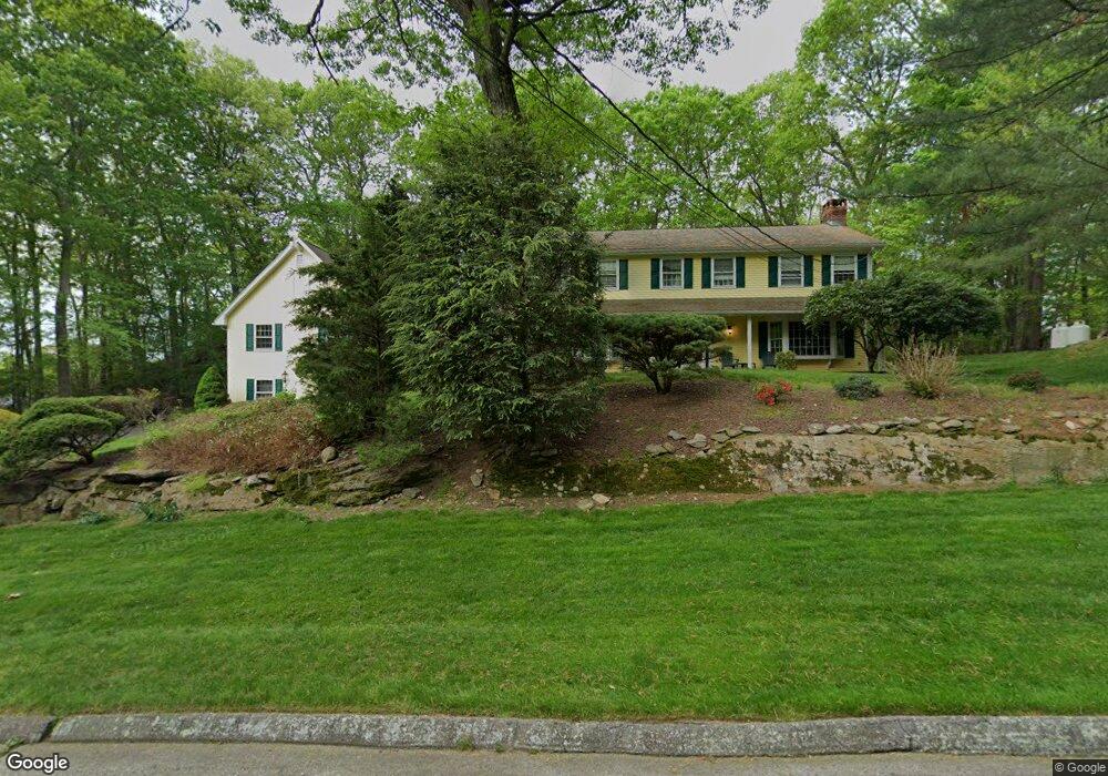
21 Maple Ridge Rd Trumbull, CT 06611
Daniel Farm District NeighborhoodEstimated Value: $950,000 - $981,000
5
Beds
4
Baths
3,979
Sq Ft
$242/Sq Ft
Est. Value
About This Home
This home is located at 21 Maple Ridge Rd, Trumbull, CT 06611 and is currently estimated at $964,748, approximately $242 per square foot. 21 Maple Ridge Rd is a home located in Fairfield County with nearby schools including Daniels Farm School, Hillcrest Middle School, and Trumbull High School.
Ownership History
Date
Name
Owned For
Owner Type
Purchase Details
Closed on
Jan 31, 2020
Sold by
Jean Carine
Bought by
Carine Jean Lt
Current Estimated Value
Purchase Details
Closed on
Jul 8, 2004
Sold by
Tanagho Amal Bolis
Bought by
Jean Corine
Home Financials for this Owner
Home Financials are based on the most recent Mortgage that was taken out on this home.
Original Mortgage
$465,600
Interest Rate
6.32%
Purchase Details
Closed on
Jun 1, 1999
Sold by
Petrino William P and Petrino Carol
Bought by
Tanagho Emad N and Tanagho Amel Bolis
Create a Home Valuation Report for This Property
The Home Valuation Report is an in-depth analysis detailing your home's value as well as a comparison with similar homes in the area
Home Values in the Area
Average Home Value in this Area
Purchase History
We collect this data history from publicly available records. To have your information removed, we recommend requesting removal directly through your county’s website.
| Date | Buyer | Sale Price | Title Company |
|---|---|---|---|
| Carine Jean Lt | -- | None Available | |
| Jean Corine | $582,000 | -- | |
| Tanagho Emad N | $433,500 | -- |
Source: Public Records
Mortgage History
We collect this data history from publicly available records. To have your information removed, we recommend requesting removal directly through your county’s website.
| Date | Status | Borrower | Loan Amount |
|---|---|---|---|
| Previous Owner | Tanagho Emad N | $326,235 | |
| Previous Owner | Tanagho Emad N | $55,000 | |
| Previous Owner | Tanagho Emad N | $265,000 | |
| Previous Owner | Tanagho Emad N | $465,600 |
Source: Public Records
Tax History
| Year | Tax Paid | Tax Assessment Tax Assessment Total Assessment is a certain percentage of the fair market value that is determined by local assessors to be the total taxable value of land and additions on the property. | Land | Improvement |
|---|---|---|---|---|
| 2025 | $15,972 | $432,600 | $131,320 | $301,280 |
| 2024 | $15,535 | $432,600 | $131,320 | $301,280 |
| 2023 | $15,284 | $432,600 | $131,320 | $301,280 |
| 2022 | $15,039 | $432,600 | $131,320 | $301,280 |
| 2021 | $10,136 | $381,780 | $119,420 | $262,360 |
| 2020 | $13,687 | $381,780 | $119,420 | $262,360 |
| 2018 | $13,349 | $381,780 | $119,420 | $262,360 |
| 2017 | $13,080 | $381,780 | $119,420 | $262,360 |
| 2016 | $12,816 | $381,780 | $119,420 | $262,360 |
| 2015 | $13,269 | $390,700 | $125,200 | $265,500 |
| 2014 | $12,983 | $390,700 | $125,200 | $265,500 |
Source: Public Records
Map
Nearby Homes
- 15 Squire Ct
- 286 Daniels Farm Rd
- 184 Putting Green Rd
- 315 Church Hill Rd
- 8 Scenic Hill Rd
- 49 Midland Rd
- 50 Crown St
- 253 Mayfield Dr Unit 253
- 36 Lillian Dr
- 890 Daniels Farm Rd
- 0 Main St
- 109 Sterling Rd
- 223 Sterling Rd
- 28 Grandview Dr
- 23 Great Neck Rd
- 33 Manor Dr
- 220 Algonquin Trail
- 40 Rose Terrace
- 212 Algonquin Trail Unit 212
- 26 Westwood Rd
- 43 Old Hollow Rd
- 37 Old Hollow Rd
- 24 Maple Ridge Rd
- 9 Maple Ridge Rd
- 20 Maple Ridge Rd
- 29 Old Hollow Rd
- 23 Old Hollow Rd
- 14 Maple Ridge Rd
- 15 Old Hollow Rd
- 10 Maple Ridge Rd
- 46 Old Hollow Rd
- 11 Old Hollow Rd
- 6 Maple Ridge Rd
- 15 Red Maple Ln
- 5 Old Hollow Rd
- 26 Old Hollow Rd
- 19 Red Maple Ln
- 11 Red Maple Ln
- 34 Old Hollow Rd
- 18 Old Hollow Rd
Your Personal Tour Guide
Ask me questions while you tour the home.