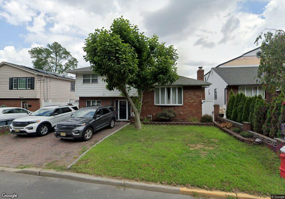
21 Millridge Rd Secaucus, NJ 07094
Estimated Value: $860,906 - $1,257,000
About This Home
This home is located at 21 Millridge Rd, Secaucus, NJ 07094 and is currently estimated at $999,727, approximately $532 per square foot. 21 Millridge Rd is a home located in Hudson County with nearby schools including Secaucus High School.
Ownership History
We collect this data history from publicly available records. To have your information removed, we recommend requesting removal directly through your county’s website.
Purchase Details
Home Financials for this Owner
Home Financials are based on the most recent Mortgage that was taken out on this home.Purchase Details
Home Values in the Area
Average Home Value in this Area
Purchase History
We collect this data history from publicly available records. To have your information removed, we recommend requesting removal directly through your county’s website.
| Date | Buyer | Sale Price | Title Company |
|---|---|---|---|
| $510,000 | -- | ||
| $450,000 | None Available |
Mortgage History
We collect this data history from publicly available records. To have your information removed, we recommend requesting removal directly through your county’s website.
| Date | Status | Borrower | Loan Amount |
|---|---|---|---|
| Open | $494,900 |
Tax History
We collect this data history from publicly available records. To have your information removed, we recommend requesting removal directly through your county’s website.
| Year | Tax Paid | Tax Assessment Tax Assessment Total Assessment is a certain percentage of the fair market value that is determined by local assessors to be the total taxable value of land and additions on the property. | Land | Improvement |
|---|---|---|---|---|
| 2025 | $8,974 | $219,300 | $88,000 | $131,300 |
| 2024 | $8,704 | $219,300 | $88,000 | $131,300 |
| 2023 | $8,704 | $219,300 | $88,000 | $131,300 |
| 2022 | $8,252 | $219,300 | $88,000 | $131,300 |
| 2021 | $8,268 | $219,300 | $88,000 | $131,300 |
| 2020 | $8,193 | $219,300 | $88,000 | $131,300 |
| 2019 | $8,140 | $219,300 | $88,000 | $131,300 |
| 2018 | $7,917 | $219,300 | $88,000 | $131,300 |
| 2017 | $7,926 | $219,300 | $88,000 | $131,300 |
| 2016 | $8,129 | $219,300 | $88,000 | $131,300 |
| 2015 | $8,118 | $219,300 | $88,000 | $131,300 |
| 2014 | $8,259 | $219,300 | $88,000 | $131,300 |
Map
- 32 Luhman Terrace
- 43 Creekside Ct Unit COOO43
- 5 Creekside Ct Unit 5
- 42 Creekside Ct Unit C0042H
- 41 Creekside Ct Unit C00041
- 1119 Stonewall Ln
- 1074 Garry Terrace
- 133 Franklin St
- 369 Hops Ln
- 1033 Park Dr
- 199 Franklin St
- 74 Riverview Ct
- 35 Riverview Ct
- 980 Schopman Dr
- 1625 Paterson Plank Rd Unit 1
- 1625 Paterson Plank Rd Unit 18
- 29 N End Dr Unit 29
- 250 Grace Ave
- 252 Grace Ave
- 196 Blue Heron Dr Unit 2706
- 23 Millridge Rd
- 19 Millridge Rd
- 17 Millridge Rd
- 25 Millridge Rd
- 27 Millridge Rd
- 29 Millridge Rd
- 13 Millridge Rd
- 31 Millridge Rd
- 9 Millridge Rd
- 48 Luhman Terrace
- 33 Millridge Rd
- 46 Luhman Terrace
- 7 Millridge Rd
- 44 Luhman Terrace
- 35 Millridge Rd
- 42 Luhman Terrace
- 5 Millridge Rd
- 37 Millridge Rd
- 47 Luhman Terrace
- 40 Luhman Terrace
Ask me questions while you tour the home.