21 Sand Point Rd Osterville, MA 2655
Osterville Neighborhood
5
Beds
8
Baths
--
Sq Ft
1.6
Acre Lot
About This Home
This home is located at 21 Sand Point Rd, Osterville, MA 2655. 21 Sand Point Rd is a home located in Barnstable County with nearby schools including Barnstable United Elementary School, West Villages Elementary School, and Barnstable Intermediate School.
Create a Home Valuation Report for This Property
The Home Valuation Report is an in-depth analysis detailing your home's value as well as a comparison with similar homes in the area
Home Values in the Area
Average Home Value in this Area
Tax History
We collect this data history from publicly available records. To have your information removed, we recommend requesting removal directly through your county’s website.
| Year | Tax Paid | Tax Assessment Tax Assessment Total Assessment is a certain percentage of the fair market value that is determined by local assessors to be the total taxable value of land and additions on the property. | Land | Improvement |
|---|---|---|---|---|
| 2025 | $63,622 | $7,864,300 | $3,605,400 | $4,258,900 |
| 2024 | $61,303 | $7,849,300 | $3,605,400 | $4,243,900 |
| 2023 | $55,645 | $6,672,100 | $3,292,800 | $3,379,300 |
| 2022 | $54,234 | $5,625,900 | $2,482,300 | $3,143,600 |
| 2021 | $53,829 | $5,131,500 | $2,355,100 | $2,776,400 |
| 2020 | $58,983 | $5,381,700 | $2,642,200 | $2,739,500 |
| 2019 | $56,659 | $5,023,000 | $2,642,200 | $2,380,800 |
| 2018 | $59,309 | $5,286,000 | $2,781,300 | $2,504,700 |
| 2017 | $55,932 | $5,198,100 | $2,781,300 | $2,416,800 |
| 2016 | $56,574 | $5,190,300 | $2,776,000 | $2,414,300 |
| 2015 | $51,934 | $4,786,500 | $2,665,800 | $2,120,700 |
Source: Public Records
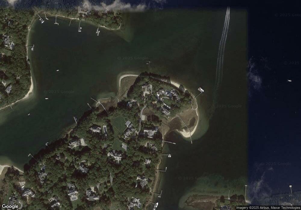
Map
Nearby Homes
- 71 Sand Point
- 46 Great Bay Rd
- 25 Oyster Way
- 564 Cotuit Bay Dr
- 93 Oyster Way
- 359 Baxter Neck Rd
- 174 Little River Rd
- 375 Baxters Neck Rd
- 30 Cockachoiset Ln
- 205 Little River Rd
- 30 Cockachoiset
- 140 Seapuit Rd
- 12 Cockachoiset Ln
- 12 Cockachoiset
- 179 Pineleigh Path
- 25 Manor Way
- 476 Baxters Neck Rd
- 280 Ice Valley Rd
- Lot 289 Seapuit River B Rd
- Lot 288 Seapuit River A Rd
Your Personal Tour Guide
Ask me questions while you tour the home.