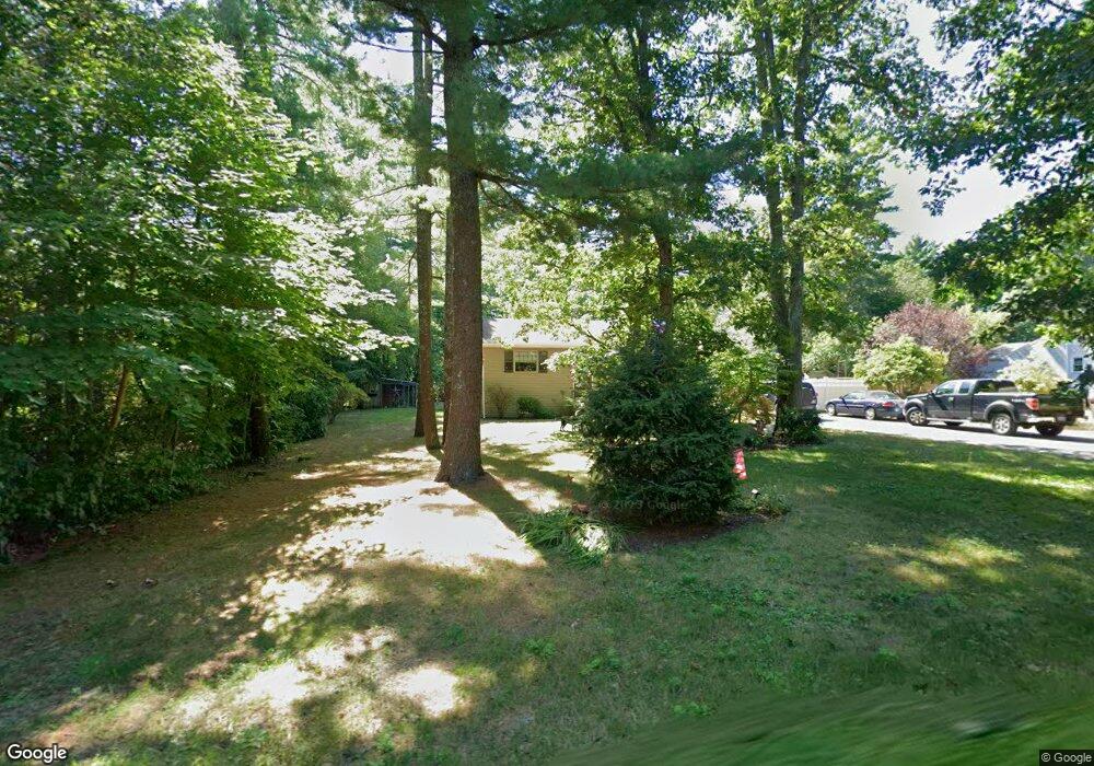
21 Thomas St Middleboro, MA 02346
Middleborough AreaEstimated Value: $509,000 - $569,097
About This Home
This home is located at 21 Thomas St, Middleboro, MA 02346 and is currently estimated at $548,274, approximately $363 per square foot. 21 Thomas St is a home located in Plymouth County with nearby schools including Mary K. Goode Elementary School, Mullein Hill Christian Academy, and Samuel Fuller School.
Ownership History
We collect this data history from publicly available records. To have your information removed, we recommend requesting removal directly through your county’s website.
Purchase Details
Home Financials for this Owner
Home Financials are based on the most recent Mortgage that was taken out on this home.Home Values in the Area
Average Home Value in this Area
Purchase History
We collect this data history from publicly available records. To have your information removed, we recommend requesting removal directly through your county’s website.
| Date | Buyer | Sale Price | Title Company |
|---|---|---|---|
| -- | -- |
Mortgage History
We collect this data history from publicly available records. To have your information removed, we recommend requesting removal directly through your county’s website.
| Date | Status | Borrower | Loan Amount |
|---|---|---|---|
| Open | $40,000 | ||
| Previous Owner | $80,000 |
Tax History
We collect this data history from publicly available records. To have your information removed, we recommend requesting removal directly through your county’s website.
| Year | Tax Paid | Tax Assessment Tax Assessment Total Assessment is a certain percentage of the fair market value that is determined by local assessors to be the total taxable value of land and additions on the property. | Land | Improvement |
|---|---|---|---|---|
| 2025 | $5,722 | $426,700 | $175,100 | $251,600 |
| 2024 | $5,371 | $396,700 | $166,900 | $229,800 |
| 2023 | $5,296 | $371,900 | $166,900 | $205,000 |
| 2022 | $4,922 | $320,000 | $145,100 | $174,900 |
| 2021 | $4,739 | $291,300 | $133,300 | $158,000 |
| 2020 | $4,477 | $281,900 | $133,300 | $148,600 |
| 2019 | $4,305 | $278,100 | $133,300 | $144,800 |
| 2018 | $3,953 | $253,400 | $121,200 | $132,200 |
| 2017 | $3,865 | $245,100 | $116,800 | $128,300 |
| 2016 | $3,708 | $232,900 | $106,800 | $126,100 |
| 2015 | $3,680 | $233,200 | $106,800 | $126,400 |
Map
- Lot 9 Christina Way
- 77 Thomas St
- 287 Wareham St
- 31 Acorn St
- 260 Wood St
- 6 Daniel Dr
- 73 Wareham St
- 18 Chestnut St
- 53 Wareham St
- 71 E Main St
- 357 Wareham St
- 4 Star Ave
- 0 Abbey Ln
- 19 Montello St
- 0 Wareham Miller St Unit 73410845
- 93 Ashley Ln Unit 93
- 16 Kings Way Unit 22
- 5 Sand St
- 10 Barrows St
- 7 Myrtle St
- 19 Thomas St
- 29 Thomas St
- 22 Thomas St
- 15 Thomas St
- 26 Thomas St
- 20 Thomas St
- 32 Thomas St
- 34.4 Acres W Grove St 234 Apts
- Lot 7 Look Out Cir
- Lot 1 Miller St Unit TBD
- Lot 5 Fernway Estates
- Lot 10 Fernway Estates
- 60 Francisco da Lira
- 129 Sachem St
- 117 Sachem St
- 124 Sachem St
- 11 Thomas St
- 120 Sachem St
- 9 Thomas St
- 115 Sachem St
Ask me questions while you tour the home.