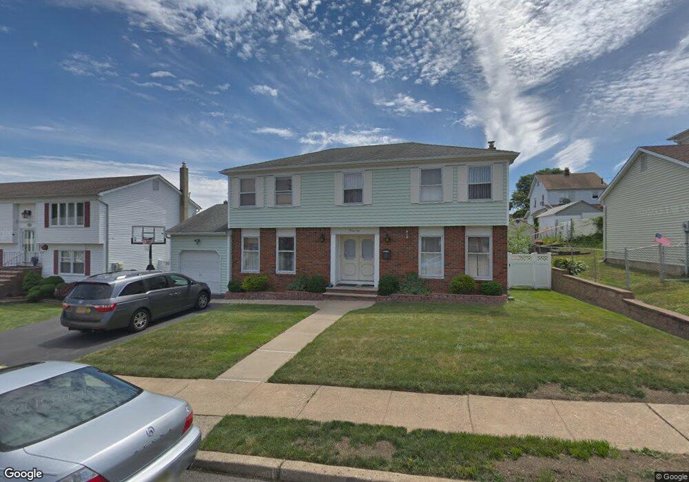
21 Tomar Ct Bloomfield, NJ 07003
Estimated Value: $684,000 - $801,808
About This Home
This home is located at 21 Tomar Ct, Bloomfield, NJ 07003 and is currently estimated at $747,202, approximately $360 per square foot. 21 Tomar Ct is a home located in Essex County with nearby schools including Demarest School, Bloomfield Middle School, and Bloomfield High School.
Ownership History
We collect this data history from publicly available records. To have your information removed, we recommend requesting removal directly through your county’s website.
Purchase Details
Purchase Details
Home Financials for this Owner
Home Financials are based on the most recent Mortgage that was taken out on this home.Home Values in the Area
Average Home Value in this Area
Purchase History
We collect this data history from publicly available records. To have your information removed, we recommend requesting removal directly through your county’s website.
| Date | Buyer | Sale Price | Title Company |
|---|---|---|---|
| -- | Affinity Title Agency Inc | ||
| $495,000 | -- |
Mortgage History
We collect this data history from publicly available records. To have your information removed, we recommend requesting removal directly through your county’s website.
| Date | Status | Borrower | Loan Amount |
|---|---|---|---|
| Open | $49,500 | ||
| Open | $396,000 |
Tax History
We collect this data history from publicly available records. To have your information removed, we recommend requesting removal directly through your county’s website.
| Year | Tax Paid | Tax Assessment Tax Assessment Total Assessment is a certain percentage of the fair market value that is determined by local assessors to be the total taxable value of land and additions on the property. | Land | Improvement |
|---|---|---|---|---|
| 2025 | $16,031 | $472,600 | $188,800 | $283,800 |
| 2024 | $15,445 | $472,600 | $188,800 | $283,800 |
| 2022 | $15,133 | $472,600 | $188,800 | $283,800 |
| 2021 | $14,854 | $472,600 | $188,800 | $283,800 |
| 2020 | $14,627 | $472,600 | $188,800 | $283,800 |
| 2019 | $15,315 | $384,700 | $177,000 | $207,700 |
| 2018 | $15,250 | $384,700 | $177,000 | $207,700 |
| 2017 | $15,019 | $384,700 | $177,000 | $207,700 |
| 2016 | $14,849 | $384,700 | $177,000 | $207,700 |
| 2015 | $14,715 | $384,700 | $177,000 | $207,700 |
| 2014 | $14,445 | $384,700 | $177,000 | $207,700 |
Map
- 42 Daka Ct
- 43 Fritz St
- 29 Corsi Rd
- 154 Milton Ave
- 21 Fitzherbert St
- 138 Spatz Ave
- 26 Briar Ln
- 106 Broughton Ave
- 81 Hastings Ave
- 102 Hobson St
- 129 Pake St
- 935 Broad St Unit 35B
- 55 Greenbrook Dr Unit 7C
- 52 Greenbrook Dr
- 40 Mill St Unit 1
- 90 Columbia Ave
- 701 Centre St
- 12 Brook Place
- 18 Hudson St
- 1 Bay Ave
Ask me questions while you tour the home.