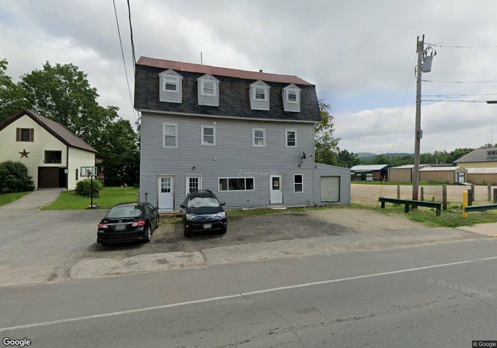
21 Weld St Dixfield, ME 04224
Estimated Value: $62,000
Studio
1
Bath
2,508
Sq Ft
$25/Sq Ft
Est. Value
About This Home
This home is located at 21 Weld St, Dixfield, ME 04224 and is currently priced at $62,000, approximately $24 per square foot. 21 Weld St is a home located in Oxford County with nearby schools including Webb River seventh-day Adventist School and Hezion Academy.
Ownership History
Date
Name
Owned For
Owner Type
Purchase Details
Closed on
Feb 8, 2019
Sold by
Perreault Aaron
Bought by
Perreault Aaron and Perreault Tanya
Current Estimated Value
Home Financials for this Owner
Home Financials are based on the most recent Mortgage that was taken out on this home.
Original Mortgage
$50,000
Interest Rate
4.3%
Mortgage Type
New Conventional
Purchase Details
Closed on
Aug 2, 2013
Sold by
Perreault Aaron V and Perrault Tanya L
Bought by
Wing Jason M and Wing Amanda L
Purchase Details
Closed on
Jul 19, 2007
Sold by
Giberson Richard R
Bought by
Perreault Aaron
Create a Home Valuation Report for This Property
The Home Valuation Report is an in-depth analysis detailing your home's value as well as a comparison with similar homes in the area
Purchase History
| Date | Buyer | Sale Price | Title Company |
|---|---|---|---|
| Perreault Aaron | -- | -- | |
| Wing Jason M | -- | -- | |
| Perreault Aaron | $1,001 | -- |
Source: Public Records
Mortgage History
| Date | Status | Borrower | Loan Amount |
|---|---|---|---|
| Previous Owner | Perreault Aaron | $50,000 | |
| Previous Owner | Perreault Aaron | $57,000 |
Source: Public Records
Tax History
| Year | Tax Paid | Tax Assessment Tax Assessment Total Assessment is a certain percentage of the fair market value that is determined by local assessors to be the total taxable value of land and additions on the property. | Land | Improvement |
|---|---|---|---|---|
| 2025 | $1,875 | $77,000 | $12,600 | $64,400 |
| 2024 | $1,721 | $77,000 | $12,600 | $64,400 |
| 2023 | $1,656 | $77,000 | $12,600 | $64,400 |
| 2022 | $1,656 | $77,000 | $12,600 | $64,400 |
| 2021 | $1,848 | $77,000 | $12,600 | $64,400 |
| 2020 | $1,848 | $77,000 | $12,600 | $64,400 |
| 2019 | $2,076 | $77,000 | $12,600 | $64,400 |
| 2018 | $2,048 | $77,000 | $12,600 | $64,400 |
| 2017 | $1,255 | $56,300 | $15,300 | $41,000 |
| 2016 | $1,132 | $56,300 | $15,300 | $41,000 |
| 2015 | $1,149 | $56,300 | $15,300 | $41,000 |
| 2014 | $1,086 | $56,275 | $15,320 | $40,955 |
| 2013 | $1,095 | $56,275 | $15,320 | $40,955 |
Source: Public Records
Map
Nearby Homes
Your Personal Tour Guide
Ask me questions while you tour the home.