21 Wright Ln Duxbury, MA 02332
Estimated Value: $953,751 - $1,128,000
4
Beds
3
Baths
2,161
Sq Ft
$477/Sq Ft
Est. Value
About This Home
This home is located at 21 Wright Ln, Duxbury, MA 02332 and is currently estimated at $1,031,188, approximately $477 per square foot. 21 Wright Ln is a home located in Plymouth County with nearby schools including Chandler Elementary School, Alden School, and Duxbury Middle School.
Ownership History
Date
Name
Owned For
Owner Type
Purchase Details
Closed on
Jul 1, 1996
Sold by
Cederberg Glenn D and Cederberg Diane H
Bought by
Breen William P and Breen Margaret L
Current Estimated Value
Purchase Details
Closed on
Jun 20, 1994
Sold by
Carleton Allen D and Carleton Laura Y
Bought by
Cederberg Glenn D and Cederberg Diane H
Create a Home Valuation Report for This Property
The Home Valuation Report is an in-depth analysis detailing your home's value as well as a comparison with similar homes in the area
Home Values in the Area
Average Home Value in this Area
Purchase History
| Date | Buyer | Sale Price | Title Company |
|---|---|---|---|
| Breen William P | $263,000 | -- | |
| Cederberg Glenn D | $263,500 | -- |
Source: Public Records
Mortgage History
| Date | Status | Borrower | Loan Amount |
|---|---|---|---|
| Open | Cederberg Glenn D | $258,000 | |
| Closed | Cederberg Glenn D | $250,000 |
Source: Public Records
Tax History
| Year | Tax Paid | Tax Assessment Tax Assessment Total Assessment is a certain percentage of the fair market value that is determined by local assessors to be the total taxable value of land and additions on the property. | Land | Improvement |
|---|---|---|---|---|
| 2025 | $8,035 | $792,400 | $330,700 | $461,700 |
| 2024 | $7,789 | $774,300 | $330,700 | $443,600 |
| 2023 | $7,278 | $680,800 | $344,000 | $336,800 |
| 2022 | $7,608 | $592,500 | $284,500 | $308,000 |
| 2021 | $7,395 | $510,700 | $233,200 | $277,500 |
| 2020 | $7,534 | $513,900 | $233,200 | $280,700 |
| 2019 | $7,143 | $486,600 | $202,400 | $284,200 |
| 2018 | $6,983 | $460,600 | $188,200 | $272,400 |
| 2017 | $6,779 | $437,100 | $175,900 | $261,200 |
| 2016 | $6,512 | $418,800 | $157,600 | $261,200 |
| 2015 | $6,221 | $398,800 | $137,600 | $261,200 |
Source: Public Records
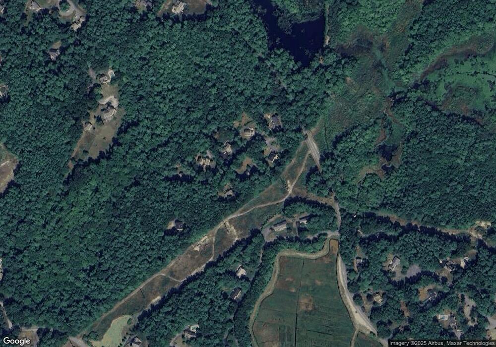
Map
Nearby Homes
- 315 Church St
- 74 Teakettle Ln
- 11 Simmons Dr
- 4 Rachael's Ln
- 66 Simmons Dr
- 225 Lincoln St Unit D8
- 225 Lincoln St Unit D8
- 118 Enterprise St
- 184 King Phillips Pathe
- 45 Red Gold Farm Rd
- 431 Moraine St
- 16 Fieldstone Farm Way
- 4 Fieldstone Farm Way
- 412 Moraine St
- 15 Fieldstone Farm Way
- 738 Mayflower St
- 18 King Phillips Path
- 676 Franklin St
- 26 Bowsprit Ln
- 3 Harlow Brook Way Unit 3
Your Personal Tour Guide
Ask me questions while you tour the home.