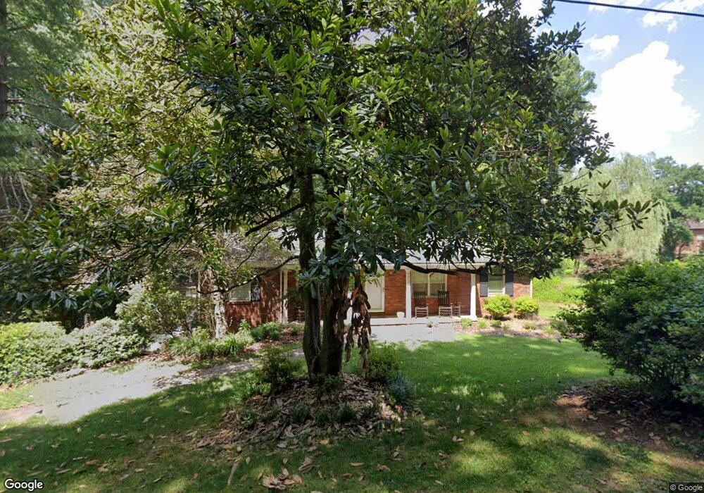
210 Davis Dr Morganton, NC 28655
Estimated Value: $309,000 - $396,000
3
Beds
2
Baths
1,988
Sq Ft
$173/Sq Ft
Est. Value
About This Home
This home is located at 210 Davis Dr, Morganton, NC 28655 and is currently estimated at $344,246, approximately $173 per square foot. 210 Davis Dr is a home located in Burke County with nearby schools including Forest Hill Elementary School, Walter R. Johnson Middle School, and Robert L. Patton High School.
Ownership History
Date
Name
Owned For
Owner Type
Purchase Details
Closed on
Feb 6, 2016
Sold by
Sain Amy
Bought by
Sain James Scott
Current Estimated Value
Purchase Details
Closed on
Jan 16, 2006
Sold by
Lambert Gary Lee and Lambert Janie C
Bought by
Sain James S and Sain Amy
Home Financials for this Owner
Home Financials are based on the most recent Mortgage that was taken out on this home.
Original Mortgage
$94,875
Interest Rate
6.08%
Mortgage Type
New Conventional
Create a Home Valuation Report for This Property
The Home Valuation Report is an in-depth analysis detailing your home's value as well as a comparison with similar homes in the area
Home Values in the Area
Average Home Value in this Area
Purchase History
| Date | Buyer | Sale Price | Title Company |
|---|---|---|---|
| Sain James Scott | -- | Attorney | |
| Sain James S | $126,500 | None Available |
Source: Public Records
Mortgage History
| Date | Status | Borrower | Loan Amount |
|---|---|---|---|
| Previous Owner | Sain James S | $94,875 |
Source: Public Records
Tax History
| Year | Tax Paid | Tax Assessment Tax Assessment Total Assessment is a certain percentage of the fair market value that is determined by local assessors to be the total taxable value of land and additions on the property. | Land | Improvement |
|---|---|---|---|---|
| 2025 | $1,383 | $231,624 | $37,555 | $194,069 |
| 2024 | $1,390 | $231,624 | $37,555 | $194,069 |
| 2023 | $1,385 | $231,624 | $37,555 | $194,069 |
| 2022 | $1,037 | $137,359 | $25,900 | $111,459 |
| 2021 | $1,031 | $137,359 | $25,900 | $111,459 |
| 2020 | $1,027 | $137,359 | $25,900 | $111,459 |
| 2019 | $1,027 | $137,359 | $25,900 | $111,459 |
| 2018 | $976 | $130,130 | $25,900 | $104,230 |
| 2017 | $974 | $130,130 | $25,900 | $104,230 |
| 2016 | $950 | $130,130 | $25,900 | $104,230 |
| 2015 | $947 | $130,130 | $25,900 | $104,230 |
| 2014 | $945 | $130,130 | $25,900 | $104,230 |
| 2013 | $945 | $130,130 | $25,900 | $104,230 |
Source: Public Records
Map
Nearby Homes
- 218 Davis Dr
- 212 Riverside Dr
- 231 Davis Dr
- 0 Riverside Dr
- 142 Pearson Dr
- 214 Howard St
- 430 N Green St
- 104 1/2 Woodbine Terrace
- 118 W Union St Unit Suite A
- 118 W Union St Unit A
- 111 Kinwood St
- 507 Riverside Dr
- 315 W Mcdowell St
- 608 1/2 W Concord St
- 357 Walton Rd
- 232 W Park Dr
- 406B E Union St
- 223 W Park Dr
- 507 S College St
- 113 Falls St
- 212 Davis Dr
- 206 Davis Dr
- 118 Pearson Dr
- 120 Pearson Dr
- 214 Davis Dr
- 235 N Anderson St
- 237 N Anderson St
- 233 N Anderson St
- 114 Pearson Dr
- 122 Pearson Dr
- 239 N Anderson St
- 204 Davis Dr
- 110 Hawthorn Ln
- 231 N Anderson St
- 241 N Anderson St
- 112 Pearson Dr
- 216 Davis Dr
- 229 N Anderson St
- 117 Pearson Dr
- 108 Hawthorn Ln
Your Personal Tour Guide
Ask me questions while you tour the home.