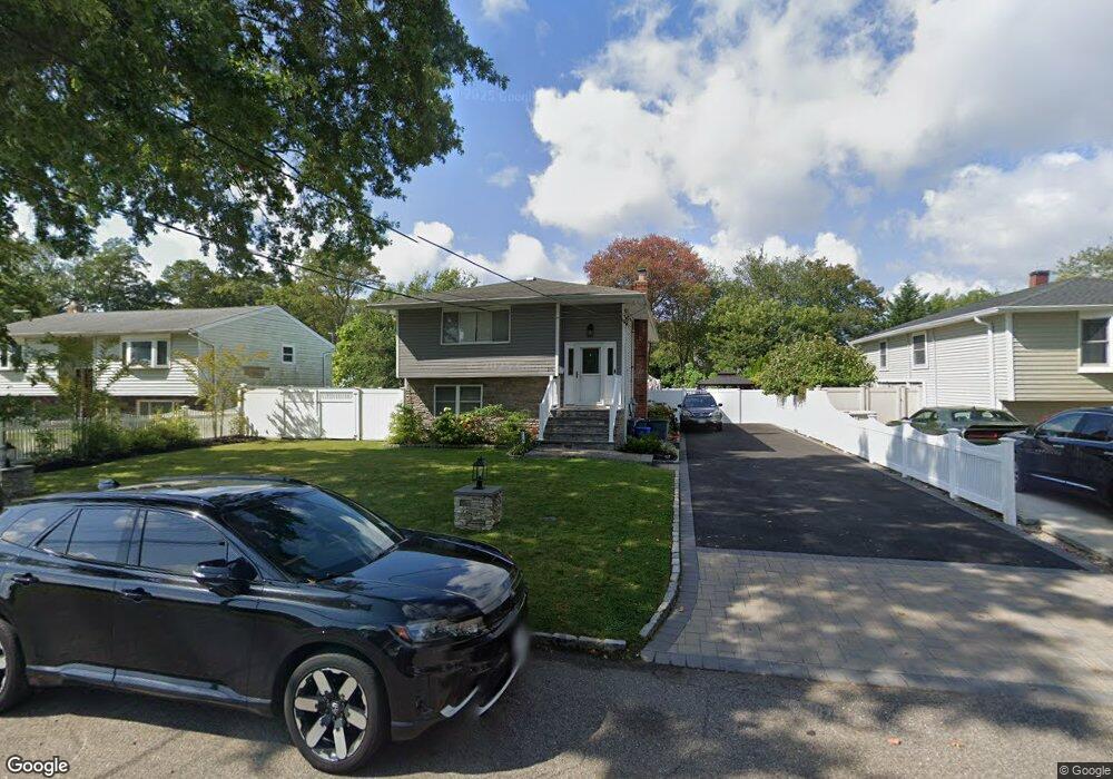
210 Ralph Ave Babylon, NY 11702
Estimated Value: $634,000 - $730,000
Studio
--
Bath
2,237
Sq Ft
$305/Sq Ft
Est. Value
About This Home
This home is located at 210 Ralph Ave, Babylon, NY 11702 and is currently estimated at $681,645, approximately $304 per square foot. 210 Ralph Ave is a home located in Suffolk County with nearby schools including Babylon Elementary School, Babylon Memorial Grade School, and Babylon High School.
Ownership History
Date
Name
Owned For
Owner Type
Purchase Details
Closed on
Apr 26, 2021
Sold by
Pierre Lucinda L
Bought by
John Paula D
Current Estimated Value
Home Financials for this Owner
Home Financials are based on the most recent Mortgage that was taken out on this home.
Original Mortgage
$486,034
Interest Rate
2.9%
Mortgage Type
FHA
Purchase Details
Closed on
Nov 16, 1998
Sold by
Pierre Lucinda Lee and Pierre Lucinda Nathalie
Bought by
Pierre Lucinda Lee
Create a Home Valuation Report for This Property
The Home Valuation Report is an in-depth analysis detailing your home's value as well as a comparison with similar homes in the area
Home Values in the Area
Average Home Value in this Area
Purchase History
| Date | Buyer | Sale Price | Title Company |
|---|---|---|---|
| John Paula D | $495,000 | None Available | |
| Pierre Lucinda Lee | -- | Commonwealth Land Title Ins | |
| Pierre Lucinda Lee | -- | Commonwealth Land Title Ins |
Source: Public Records
Mortgage History
| Date | Status | Borrower | Loan Amount |
|---|---|---|---|
| Previous Owner | John Paula D | $486,034 |
Source: Public Records
Tax History
| Year | Tax Paid | Tax Assessment Tax Assessment Total Assessment is a certain percentage of the fair market value that is determined by local assessors to be the total taxable value of land and additions on the property. | Land | Improvement |
|---|---|---|---|---|
| 2024 | $14,174 | $3,830 | $230 | $3,600 |
| 2023 | $12,857 | $3,830 | $230 | $3,600 |
| 2022 | $8,719 | $3,830 | $230 | $3,600 |
| 2021 | $8,719 | $3,830 | $230 | $3,600 |
| 2020 | $11,852 | $3,830 | $230 | $3,600 |
| 2019 | $11,829 | $0 | $0 | $0 |
| 2018 | $10,201 | $3,830 | $230 | $3,600 |
| 2017 | $10,201 | $3,830 | $230 | $3,600 |
| 2016 | $8,647 | $3,830 | $230 | $3,600 |
| 2015 | -- | $3,830 | $230 | $3,600 |
| 2014 | -- | $3,830 | $230 | $3,600 |
Source: Public Records
Map
Nearby Homes
- 214 Ralph Ave
- 519 Gwynn St
- 104 Frederick Ave
- 83 Vanderbilt Ave
- 28 Vanderbilt Ave
- 61 Livingston Ave
- 359 Park Ave
- 104 Hawthorne Ave
- 418 Old Farmingdale Rd
- 9 Hinton Ave
- 5 Rosebud Ln
- 22 Berkshire Rd
- 204 Millard Ave Unit 204
- 190 Millard Ave Unit 190
- 7 Lico Place
- 252 Locust Ave
- 45 Arnold Ave
- 49 Arnold Ave
- 643 Deer Park Ave
- 50 Paumanake Ave
- 208 Ralph Ave
- 69 Beverly Rd
- 216 Ralph Ave
- 226 Ralph Ave
- 215 Ralph Ave
- 192 Ralph Ave
- 219 Ralph Ave
- 221 Livingston Ave
- 227 Livingston Ave
- 215 Livingston Ave
- 228 Ralph Ave
- 190 Ralph Ave
- 225 Ralph Ave
- 231 Livingston Ave
- 201 Livingston Ave
- 235 Livingston Ave
- 230 Ralph Ave
- 199 Livingston Ave
- 15 Martin Place
- 150 Martin Place
Your Personal Tour Guide
Ask me questions while you tour the home.