210 Upper Camp Loop Rd Roseburg, OR 97470
Glide NeighborhoodEstimated Value: $619,114 - $760,000
3
Beds
3
Baths
1,750
Sq Ft
$392/Sq Ft
Est. Value
About This Home
This home is located at 210 Upper Camp Loop Rd, Roseburg, OR 97470 and is currently estimated at $685,279, approximately $391 per square foot. 210 Upper Camp Loop Rd is a home located in Douglas County with nearby schools including Glide Elementary School, Glide Middle School, and Glide High School.
Ownership History
Date
Name
Owned For
Owner Type
Purchase Details
Closed on
Nov 4, 2004
Sold by
Olson Michael Lee and Olson Kimberly Kathleen
Bought by
Olson Michael Lee and Olson Kimberly Kathleen
Current Estimated Value
Home Financials for this Owner
Home Financials are based on the most recent Mortgage that was taken out on this home.
Original Mortgage
$210,000
Interest Rate
5.7%
Mortgage Type
Stand Alone Refi Refinance Of Original Loan
Create a Home Valuation Report for This Property
The Home Valuation Report is an in-depth analysis detailing your home's value as well as a comparison with similar homes in the area
Home Values in the Area
Average Home Value in this Area
Purchase History
| Date | Buyer | Sale Price | Title Company |
|---|---|---|---|
| Olson Michael Lee | -- | Ticor Title |
Source: Public Records
Mortgage History
| Date | Status | Borrower | Loan Amount |
|---|---|---|---|
| Closed | Olson Michael Lee | $210,000 |
Source: Public Records
Tax History
| Year | Tax Paid | Tax Assessment Tax Assessment Total Assessment is a certain percentage of the fair market value that is determined by local assessors to be the total taxable value of land and additions on the property. | Land | Improvement |
|---|---|---|---|---|
| 2025 | $3,777 | $347,805 | -- | -- |
| 2024 | $3,580 | $337,675 | -- | -- |
| 2023 | $3,480 | $327,840 | $0 | $0 |
| 2022 | $3,323 | $318,292 | $0 | $0 |
| 2021 | $3,318 | $309,022 | $0 | $0 |
| 2020 | $2,725 | $300,022 | $0 | $0 |
| 2019 | $3,160 | $291,284 | $0 | $0 |
| 2018 | $3,106 | $282,800 | $0 | $0 |
| 2017 | $3,056 | $274,564 | $0 | $0 |
| 2016 | $2,856 | $266,567 | $0 | $0 |
| 2015 | $2,756 | $258,803 | $0 | $0 |
| 2014 | $2,619 | $246,212 | $0 | $0 |
| 2013 | -- | $241,117 | $0 | $0 |
Source: Public Records
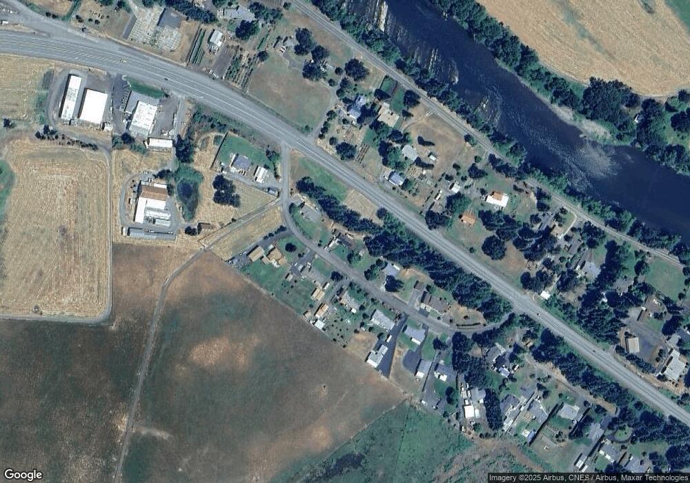
Map
Nearby Homes
- 369 Upper Camp Loop Rd
- 3413 Wild River Dr
- 267 Mountain View
- 418 Rivershore Dr
- 123 Mountain View
- 1884 Wild River Dr
- 0 Park St
- 121 Wild Goose Ln
- 106 Odille Ct
- 261 S Estella St
- 411 Upper Terrace Ln
- 283 Upper Terrace Ln
- 610 Terrace Dr
- 14536 Little River Rd
- 175 Doe Rd
- 1176 Whistlers Ln
- 781 Pine Ridge Dr
- 13767 N Bank Rd
- 230 Anderson Ln
- 1070 Mystic Mountain Ln
- 140 Upper Camp Loop Rd
- 199 Upper Camp Loop Rd
- 242 Upper Camp Loop Rd
- 235 Upper Camp Loop Rd
- 171 Upper Camp Loop Rd
- 3227 Wild River Dr
- 267 Upper Camp Loop Rd
- 3203 Wild River Dr
- 304 Upper Camp Loop Rd
- 121 Upper Camp Loop Rd
- 3155 Wild River Dr
- 297 Upper Camp Loop Rd
- 17539 N Umpqua Hwy
- 3147 Wild River Dr
- 3247 Wild River Dr
- 321 Upper Camp Loop Rd
- 351 Upper Camp Loop Rd
- 3307 Wild River Dr
- 335 Upper Camp Loop Rd
- 3045 Wild River Dr
Your Personal Tour Guide
Ask me questions while you tour the home.