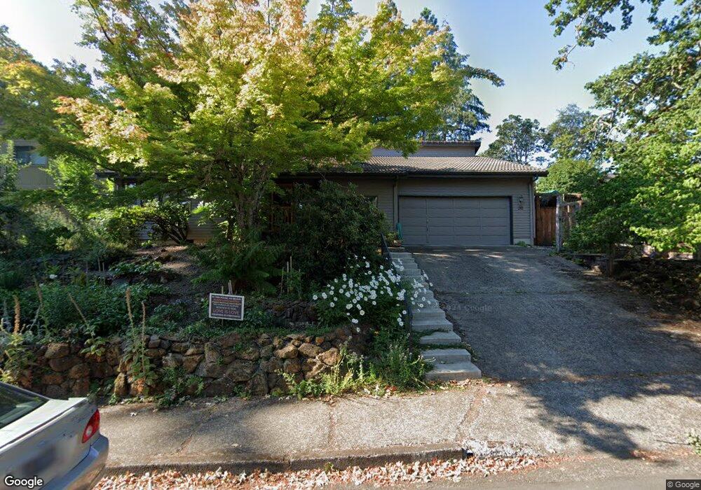
210 W 31st Ave Eugene, OR 97405
Crest Drive NeighborhoodEstimated Value: $575,000 - $732,000
About This Home
This home is located at 210 W 31st Ave, Eugene, OR 97405 and is currently estimated at $633,479, approximately $371 per square foot. 210 W 31st Ave is a home located in Lane County with nearby schools including Adams Elementary School, Spencer Butte Middle School, and South Eugene High School.
Ownership History
We collect this data history from publicly available records. To have your information removed, we recommend requesting removal directly through your county’s website.
Purchase Details
Home Financials for this Owner
Home Financials are based on the most recent Mortgage that was taken out on this home.Purchase Details
Home Values in the Area
Average Home Value in this Area
Purchase History
We collect this data history from publicly available records. To have your information removed, we recommend requesting removal directly through your county’s website.
| Date | Buyer | Sale Price | Title Company |
|---|---|---|---|
| $363,500 | Fidelity National Title Insu | ||
| -- | -- |
Mortgage History
We collect this data history from publicly available records. To have your information removed, we recommend requesting removal directly through your county’s website.
| Date | Status | Borrower | Loan Amount |
|---|---|---|---|
| Open | $140,000 |
Tax History
We collect this data history from publicly available records. To have your information removed, we recommend requesting removal directly through your county’s website.
| Year | Tax Paid | Tax Assessment Tax Assessment Total Assessment is a certain percentage of the fair market value that is determined by local assessors to be the total taxable value of land and additions on the property. | Land | Improvement |
|---|---|---|---|---|
| 2025 | $5,630 | $288,977 | -- | -- |
| 2024 | $5,560 | $280,561 | -- | -- |
| 2023 | $5,560 | $272,390 | $0 | $0 |
| 2022 | $5,209 | $264,457 | $0 | $0 |
| 2021 | $4,893 | $256,755 | $0 | $0 |
| 2020 | $4,910 | $249,277 | $0 | $0 |
| 2019 | $4,742 | $242,017 | $0 | $0 |
| 2018 | $4,464 | $228,124 | $0 | $0 |
| 2017 | $4,264 | $228,124 | $0 | $0 |
| 2016 | $4,085 | $221,480 | $0 | $0 |
| 2015 | $3,896 | $215,029 | $0 | $0 |
| 2014 | $3,836 | $208,766 | $0 | $0 |
Map
- 350 Loma Linda Ln
- 3398 Olive St
- 425 W 28th Ave
- 605 Fulvue Dr
- 130 W 35th Place
- 84 W 27th Ave
- 270 E 31st Ave
- 1 Storey Blvd
- 2 Storey Blvd
- 357 W 37th Ave
- 310 1/2 E 31st Ave Unit 1
- 45 W 27th Ave Unit E
- 2863 Friendly St
- 453 Dellwood Dr
- 2885 High St
- 2847 Friendly St
- 3210 Inspiration Point Dr
- 320 Dellwood Dr
- 2895 Ferry St
- 2840 Ferry St
- 202 W 31st Ave
- 230 W 31st Ave
- 3191 Lincoln St
- 196 W 31st Ave
- 3195 Lincoln St
- 3189 Lincoln St
- 275 W 31st Ave
- 205 W 31st Ave
- 3105 Lincoln St
- 174 W 31st Ave
- 3185 Lincoln St
- 285 W 31st Ave
- 197 W 31st Ave
- 3201 Lincoln St
- 3181 Lincoln St
- 295 W 31st Ave
- 3065 Lincoln St
- 142 W 31st Ave
- 3223 Lincoln St
- 3215 Lincoln St
Ask me questions while you tour the home.