2100 Brown Ave Unit BLK Scranton, PA 18509
Providence NeighborhoodEstimated Value: $190,000 - $249,909
About This Home
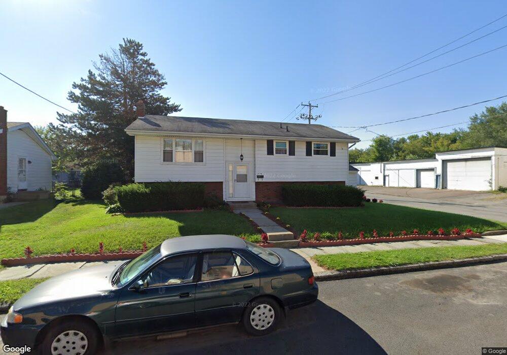
This home is located at 2100 Brown Ave Unit BLK, Scranton, PA 18509 and is currently estimated at $207,977, approximately $168 per square foot. 2100 Brown Ave Unit BLK is a home located in Lackawanna County with nearby schools including Robert Morris #27, Northeast Scranton Intermediate School, and Scranton High School.
Ownership History
We collect this data history from publicly available records. To have your information removed, we recommend requesting removal directly through your county’s website.
Purchase Details
Home Financials for this Owner
Home Financials are based on the most recent Mortgage that was taken out on this home.Home Values in the Area
Average Home Value in this Area
Purchase History
We collect this data history from publicly available records. To have your information removed, we recommend requesting removal directly through your county’s website.
| Date | Buyer | Sale Price | Title Company |
|---|---|---|---|
| $112,500 | Reliable Abstract Co |
Mortgage History
We collect this data history from publicly available records. To have your information removed, we recommend requesting removal directly through your county’s website.
| Date | Status | Borrower | Loan Amount |
|---|---|---|---|
| Open | $110,461 |
Tax History
We collect this data history from publicly available records. To have your information removed, we recommend requesting removal directly through your county’s website.
| Year | Tax Paid | Tax Assessment Tax Assessment Total Assessment is a certain percentage of the fair market value that is determined by local assessors to be the total taxable value of land and additions on the property. | Land | Improvement |
|---|---|---|---|---|
| 2026 | $30,019 | $187,630 | $28,270 | $159,360 |
| 2025 | $4,715 | $14,000 | $3,300 | $10,700 |
| 2024 | $4,323 | $14,000 | $3,300 | $10,700 |
| 2023 | $4,323 | $14,000 | $3,300 | $10,700 |
| 2022 | $4,228 | $14,000 | $3,300 | $10,700 |
| 2021 | $4,228 | $14,000 | $3,300 | $10,700 |
| 2020 | $4,153 | $14,000 | $3,300 | $10,700 |
| 2019 | $3,911 | $14,000 | $3,300 | $10,700 |
| 2018 | $3,911 | $14,000 | $3,300 | $10,700 |
| 2017 | $3,845 | $14,000 | $3,300 | $10,700 |
| 2016 | $1,308 | $14,000 | $3,300 | $10,700 |
| 2015 | $2,595 | $14,000 | $3,300 | $10,700 |
| 2014 | -- | $14,000 | $3,300 | $10,700 |
Map
- 1926 Smith Place
- 1917 Wint Ave
- 607 Deacon St
- 1930 Boulevard Ave
- 2402 N Main Ave
- 2220 Boulevard Ave
- 622 E Market St
- 2401 N Main Rear Ave
- 2089 N Main Ave
- 611 613 Grace St
- 903 Richmont St
- 916-918 Grandview St
- 504 Electric St
- 626 628 Electric St
- 908 Richmont St
- 926 Grandview St
- 131 Throop St
- 121 Throop St
- 1817 Ross Ave
- 1747 Monsey Ave
- 2114 Brown Ave
- 2116 Brown Ave
- 509 Race St
- 2122 Brown Ave
- 2121 Brown Ave
- 510 Race St
- 515 Race St
- 504 510 Race St
- 504-510 Race St
- 2117 Comegys Ave
- 2124 Brown Ave
- 2119 Comegys Ave
- 2126 Brown Ave
- 2101 Comegys Ave Unit L4
- 2121 Comegys Ave
- 2123 Brown Ave
- 2123 Comegys Ave
- 2128 Brown Ave
- 414 Brown Ave
- 2125 Brown Ave
Ask me questions while you tour the home.