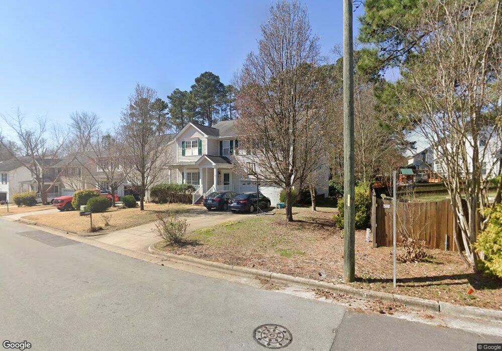
2100 Pilot Mountain Ct Apex, NC 27502
West Apex NeighborhoodEstimated Value: $605,000 - $645,000
4
Beds
3
Baths
3,076
Sq Ft
$202/Sq Ft
Est. Value
About This Home
This home is located at 2100 Pilot Mountain Ct, Apex, NC 27502 and is currently estimated at $620,935, approximately $201 per square foot. 2100 Pilot Mountain Ct is a home located in Wake County with nearby schools including Scotts Ridge Elementary School, Apex Friendship Middle School, and Apex Friendship High School.
Ownership History
Date
Name
Owned For
Owner Type
Purchase Details
Closed on
May 28, 2003
Sold by
The New Fortis Corp
Bought by
Theetharappan Mathiramoorthy and Theetharappan Sabitha
Current Estimated Value
Home Financials for this Owner
Home Financials are based on the most recent Mortgage that was taken out on this home.
Original Mortgage
$176,000
Outstanding Balance
$77,152
Interest Rate
5.79%
Mortgage Type
Purchase Money Mortgage
Estimated Equity
$543,783
Create a Home Valuation Report for This Property
The Home Valuation Report is an in-depth analysis detailing your home's value as well as a comparison with similar homes in the area
Home Values in the Area
Average Home Value in this Area
Purchase History
We collect this data history from publicly available records. To have your information removed, we recommend requesting removal directly through your county’s website.
| Date | Buyer | Sale Price | Title Company |
|---|---|---|---|
| Theetharappan Mathiramoorthy | $220,000 | -- |
Source: Public Records
Mortgage History
We collect this data history from publicly available records. To have your information removed, we recommend requesting removal directly through your county’s website.
| Date | Status | Borrower | Loan Amount |
|---|---|---|---|
| Open | Theetharappan Mathiramoorthy | $176,000 |
Source: Public Records
Tax History
| Year | Tax Paid | Tax Assessment Tax Assessment Total Assessment is a certain percentage of the fair market value that is determined by local assessors to be the total taxable value of land and additions on the property. | Land | Improvement |
|---|---|---|---|---|
| 2025 | $5,041 | $575,081 | $145,000 | $430,081 |
| 2024 | $4,928 | $575,081 | $145,000 | $430,081 |
| 2023 | $4,227 | $383,483 | $85,000 | $298,483 |
| 2022 | $3,968 | $383,483 | $85,000 | $298,483 |
| 2021 | $3,816 | $383,483 | $85,000 | $298,483 |
| 2020 | $3,778 | $383,483 | $85,000 | $298,483 |
| 2019 | $3,521 | $308,259 | $80,000 | $228,259 |
| 2018 | $3,317 | $308,259 | $80,000 | $228,259 |
| 2017 | $3,087 | $308,259 | $80,000 | $228,259 |
| 2016 | $3,042 | $308,259 | $80,000 | $228,259 |
| 2015 | $2,977 | $294,391 | $48,000 | $246,391 |
| 2014 | $2,870 | $294,391 | $48,000 | $246,391 |
Source: Public Records
Map
Nearby Homes
- 7104 Camp Branch Ln
- 7108 Beaver Trail
- 1048 Mica Lamp Ct
- 1047 Mica Lamp Ct
- 2051 Eva Pearl Dr
- 1008 Scotts Ridge Trail
- 1702 Melbry Ct
- 1050 Milk Paint Aly
- 1814 Alpine Summer Ln
- 105 Rushing Wind Way
- 1836 Alpine Summer Ln
- 1950 Menet St
- 2514 Tuffeto Trace
- 2011 Becca Ct
- 617 Brickstone Dr
- 1216 Scotts Ridge Trail
- 2135 Leo Dr
- 2523 Tuffeto Trace
- 1809 Barrett Run Trail
- 205 Pine Mill Ln
- 2102 Pilot Mountain Ct
- 1993 Frissell Ave
- 1991 Frissell Ave
- 1995 Frissell Ave
- 2104 Pilot Mountain Ct
- 2203 Brasstown Ln
- 2301 Brasstown Ln
- 2000 Mountain Ct
- 1997 Frissell Ave
- 2106 Pilot Mountain Ct
- 2303 Brasstown Ln
- 2003 Pilot Mountain Ct
- 2105 Pilot Mountain Ct
- 2001 Pilot Mountain Ct
- 1992 Frissell Ave
- 1999 Frissell Ave
- 2305 Brasstown Ln
- 2108 Pilot Mountain Ct
- 2004 Mountain Ct
- 1994 Frissell Ave
Your Personal Tour Guide
Ask me questions while you tour the home.