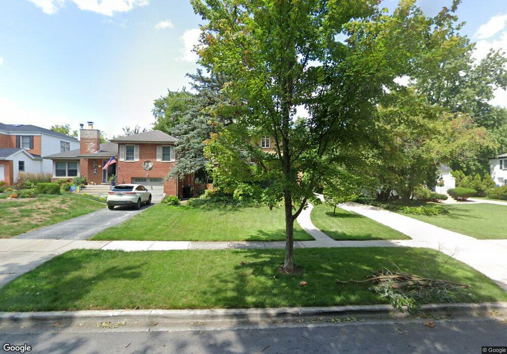
2101 Evans Rd Flossmoor, IL 60422
Estimated Value: $309,100 - $544,000
4
Beds
3
Baths
2,064
Sq Ft
$196/Sq Ft
Est. Value
About This Home
This home is located at 2101 Evans Rd, Flossmoor, IL 60422 and is currently estimated at $404,525, approximately $195 per square foot. 2101 Evans Rd is a home located in Cook County with nearby schools including Western Avenue Elementary School, Parker Junior High School, and Homewood-Flossmoor High School.
Ownership History
Date
Name
Owned For
Owner Type
Purchase Details
Closed on
Apr 18, 2007
Sold by
Allison Jody
Bought by
Perkins Nancy Allison and Jody Allison Trust
Current Estimated Value
Purchase Details
Closed on
Jan 11, 2001
Sold by
Gibbs Kenard F and Gibbs Karen M
Bought by
Ruhl Michael and Dengler Linda
Home Financials for this Owner
Home Financials are based on the most recent Mortgage that was taken out on this home.
Original Mortgage
$152,000
Interest Rate
7.58%
Purchase Details
Closed on
Apr 11, 1994
Sold by
Kuo Chia Ching and Kuo Chien Hui
Bought by
Gibbs Kenard E and Gibbs Karen M
Home Financials for this Owner
Home Financials are based on the most recent Mortgage that was taken out on this home.
Original Mortgage
$155,700
Interest Rate
7.51%
Create a Home Valuation Report for This Property
The Home Valuation Report is an in-depth analysis detailing your home's value as well as a comparison with similar homes in the area
Home Values in the Area
Average Home Value in this Area
Purchase History
| Date | Buyer | Sale Price | Title Company |
|---|---|---|---|
| Perkins Nancy Allison | -- | None Available | |
| Ruhl Michael | $190,000 | -- | |
| Gibbs Kenard E | $115,333 | -- |
Source: Public Records
Mortgage History
| Date | Status | Borrower | Loan Amount |
|---|---|---|---|
| Closed | Ruhl Michael | $152,000 | |
| Previous Owner | Gibbs Kenard E | $155,700 |
Source: Public Records
Tax History
| Year | Tax Paid | Tax Assessment Tax Assessment Total Assessment is a certain percentage of the fair market value that is determined by local assessors to be the total taxable value of land and additions on the property. | Land | Improvement |
|---|---|---|---|---|
| 2025 | $10,428 | $27,802 | $4,250 | $23,552 |
| 2024 | $10,428 | $27,802 | $4,250 | $23,552 |
| 2023 | $8,071 | $27,802 | $4,250 | $23,552 |
| 2022 | $8,071 | $18,440 | $3,613 | $14,827 |
| 2021 | $8,119 | $18,439 | $3,612 | $14,827 |
| 2020 | $7,897 | $18,439 | $3,612 | $14,827 |
| 2019 | $9,083 | $20,339 | $3,187 | $17,152 |
| 2018 | $8,734 | $20,339 | $3,187 | $17,152 |
| 2017 | $9,501 | $22,097 | $3,187 | $18,910 |
| 2016 | $6,982 | $15,726 | $2,975 | $12,751 |
| 2015 | $7,683 | $17,113 | $2,975 | $14,138 |
| 2014 | $8,814 | $19,520 | $2,975 | $16,545 |
| 2013 | $8,983 | $21,530 | $2,975 | $18,555 |
Source: Public Records
Map
Nearby Homes
- 2318 Vardon Ln
- 2045 Downey Rd
- 1834 Terrace Rd
- 2303 Hutchison Rd
- 18646 Palmer Cir
- 1 Gianna Ct
- 712 Gardner Rd
- 808 Sterling Ave
- 18547 Lexington Ave
- 1418 Western Ave
- 18522 Dixie Hwy
- 1710 187th St
- 18537 Palmer Ave
- 2622 Central Dr Unit 2N
- 13 Riegel Oaks Ln
- 18823 Ashland Ave
- 18462 Dixie Hwy
- 1644 187th St
- 1430 Brassie Ave
- 1117 Leavitt Ave Unit 110
Your Personal Tour Guide
Ask me questions while you tour the home.