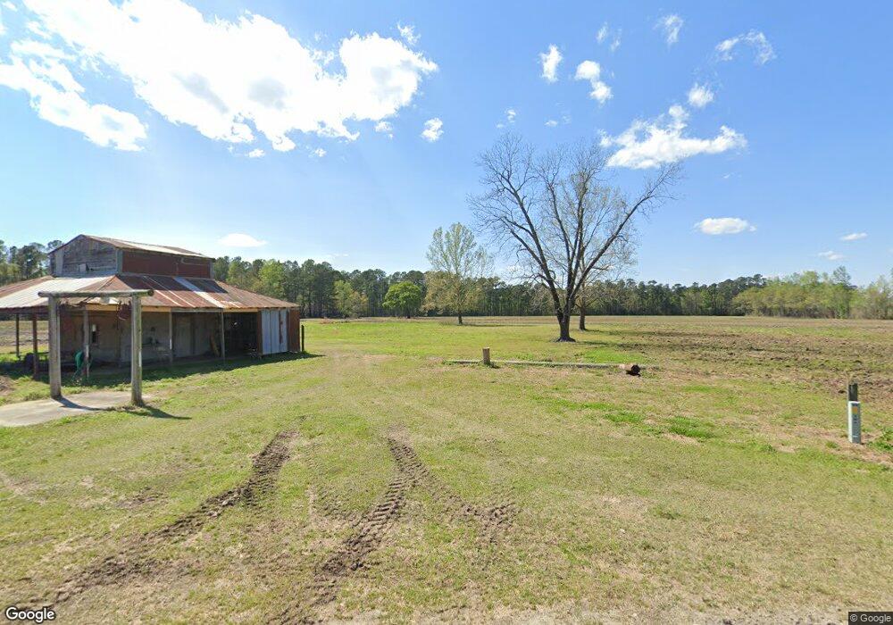
2101 Housand Loop Nichols, SC 29581
Estimated Value: $301,000
3
Beds
1
Bath
960
Sq Ft
$314/Sq Ft
Est. Value
About This Home
This home is located at 2101 Housand Loop, Nichols, SC 29581 and is currently priced at $301,000, approximately $313 per square foot. 2101 Housand Loop is a home located in Horry County with nearby schools including Green Sea Floyds Elementary School and Green Sea Floyds High School.
Ownership History
Date
Name
Owned For
Owner Type
Purchase Details
Closed on
Dec 29, 2022
Sold by
Housand Timothy
Bought by
Housand Sherwin Megar and Barnhill Shannon Housand
Current Estimated Value
Purchase Details
Closed on
Oct 14, 2015
Sold by
Housand Stevie F
Bought by
Housand Timothy
Purchase Details
Closed on
Jun 19, 2015
Sold by
Housand Timothy
Bought by
Housand Timothy and Worley Suzanne
Purchase Details
Closed on
Apr 17, 2015
Sold by
Housand Stevie Edgar
Bought by
Housand Timothy
Purchase Details
Closed on
Nov 18, 2002
Sold by
Housand Stevie Edgar
Bought by
Housand Ruthene F and Housand Stevie Edgar
Create a Home Valuation Report for This Property
The Home Valuation Report is an in-depth analysis detailing your home's value as well as a comparison with similar homes in the area
Purchase History
| Date | Buyer | Sale Price | Title Company |
|---|---|---|---|
| Housand Sherwin Megar | -- | -- | |
| Housand Timothy | -- | -- | |
| Housand Timothy | -- | -- | |
| Housand Timothy | -- | -- | |
| Housand Ruthene F | -- | -- |
Source: Public Records
Map
Nearby Homes
- TBD Lot B5 Mount Olive Church Rd
- 6049 State Road S-26-389
- TBD Jarrott Dr
- TBD Billy Mc Rd
- 2725 Southfork Rd
- TBD Southfork Rd
- TBD Long Branch Swamp Rd
- TBD Long Branch Swamp Rd
- 1503 State Road S-26-142
- 3090 Bay View Dr Unit Bay View Drive
- TBD Tract 5 Duford Rd
- TBB 13 Duford Rd
- TBB88 Duford Rd
- TBB 15 Duford Rd
- TBB 14 Duford Rd
- TBB 9 Duford Rd
- TBB 8 Duford Rd
- TBB 4 Duford Rd
- TBB3 Duford Rd
- TBB 10 Duford Rd
- 5735 Jarrott Dr
- 2051 Housand Loop
- 5645 Highway 9
- 5724 Highway 9
- 5753 Highway 9
- 2230 Mount Olive Church Rd
- 2081 Mount Olive Church Rd
- 5675 Jarrott Dr
- 2061 Mount Olive Church Rd
- 2319 Mount Olive Church Rd
- 5810 Highway 9 W
- 5812 Highway 9
- 2304 Mount Olive Church Rd
- 1888 Barnyard Rd
- 6540 Jarrott Dr
- 5900 Jarrott Dr
- 5901 Jarrott Dr
- TRACT A Highway 9
- 5942 Highway 9
- 5858 S Carolina 9
Your Personal Tour Guide
Ask me questions while you tour the home.