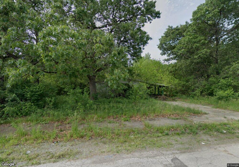
2101 Porter St Gary, IN 46406
Westside NeighborhoodEstimated Value: $39,245 - $124,000
3
Beds
1
Bath
1,176
Sq Ft
$67/Sq Ft
Est. Value
About This Home
This home is located at 2101 Porter St, Gary, IN 46406 and is currently estimated at $78,748, approximately $66 per square foot. 2101 Porter St is a home located in Lake County with nearby schools including Calumet High School, Aspire Charter Academy, and Gary Lighthouse Charter School.
Ownership History
Date
Name
Owned For
Owner Type
Purchase Details
Closed on
Dec 7, 2012
Sold by
Refined Properties Lp
Bought by
Gary Chicago International Airport Autho
Current Estimated Value
Purchase Details
Closed on
Oct 23, 2006
Sold by
Rescomm Holdings #2 Llc
Bought by
Refined Properties Lp
Purchase Details
Closed on
Jun 2, 2006
Sold by
Lewis Moselle and Wheeler Diane
Bought by
Rescomm Holdings #2 Llc
Create a Home Valuation Report for This Property
The Home Valuation Report is an in-depth analysis detailing your home's value as well as a comparison with similar homes in the area
Home Values in the Area
Average Home Value in this Area
Purchase History
| Date | Buyer | Sale Price | Title Company |
|---|---|---|---|
| Gary Chicago International Airport Autho | -- | None Available | |
| Refined Properties Lp | -- | Royal Title Services Inc | |
| Rescomm Holdings #2 Llc | $18,273 | None Available |
Source: Public Records
Tax History Compared to Growth
Tax History
| Year | Tax Paid | Tax Assessment Tax Assessment Total Assessment is a certain percentage of the fair market value that is determined by local assessors to be the total taxable value of land and additions on the property. | Land | Improvement |
|---|---|---|---|---|
| 2024 | -- | -- | -- | -- |
| 2023 | -- | -- | -- | -- |
| 2021 | -- | $0 | $0 | $0 |
| 2020 | $0 | $0 | $0 | $0 |
| 2019 | $0 | $0 | $0 | $0 |
| 2018 | $0 | $0 | $0 | $0 |
| 2017 | $0 | $0 | $0 | $0 |
| 2016 | $0 | $0 | $0 | $0 |
| 2014 | $1,603 | $54,000 | $8,000 | $46,000 |
| 2013 | $1,502 | $52,100 | $8,000 | $44,100 |
Source: Public Records
Map
Nearby Homes
- 2135 Clark Rd
- 945 - 949 Clark Rd
- 2083 Williams St
- 4310 W 22nd Place
- 4272 W 22nd Ave
- 4252 W 21st Ave
- 4233 W 22nd Ave
- 4233 W 19th Place
- 4123 W 19th Place
- 2333 Durbin St
- 2016 Wright St
- 1564 Baker St
- 1831 Burr St
- 968 Baker St
- 2154 Whitcomb St
- 1529 Hovey St
- 2415 Hanley St
- 1962 Whitcomb St
- 2327 Burr St
- 2345 Burr St
- 2112 Clark Rd
- 2110 Clark Rd
- 742 Clark Rd
- 366 Clark Rd
- 1731 Clark Rd
- 736-38 Clark Rd
- 4664 W 21st Ave
- 2151 Clark Rd
- 4631 W 20th Ct
- 4623 W 20th Ct
- 4649 W 20th Ct
- 2157 Clark Rd
- 2036 Clark Rd Unit 42
- 2091 Hovey Place
- 2124 Williams St
- 2132 Williams St
- 2065 Clark Rd
- 2167 Clark Rd
- 4501 W 21st Ave
- 2083 Hovey Place
