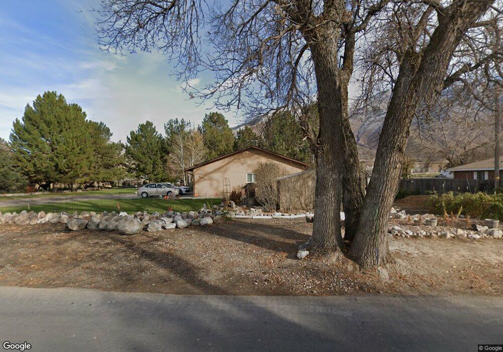
2101 S 800 W Mapleton, UT 84664
Estimated Value: $871,000
4
Beds
1
Bath
1,848
Sq Ft
$471/Sq Ft
Est. Value
About This Home
This home is located at 2101 S 800 W, Mapleton, UT 84664 and is currently priced at $871,000, approximately $471 per square foot. 2101 S 800 W is a home located in Utah County with nearby schools including Maple Ridge Elementary, Mapleton Junior High School, and Maple Mountain High School.
Ownership History
Date
Name
Owned For
Owner Type
Purchase Details
Closed on
Jun 14, 2023
Sold by
Poulson Kent J and Poulson Marie B
Bought by
Kent And Marie Poulson Family Trust
Current Estimated Value
Purchase Details
Closed on
Jul 16, 1999
Sold by
Poulson Kent Jay and Poulson Marie Behrmann
Bought by
Poulson Kent Jay and Poulson Marie Behrmann
Home Financials for this Owner
Home Financials are based on the most recent Mortgage that was taken out on this home.
Original Mortgage
$90,000
Interest Rate
8.99%
Create a Home Valuation Report for This Property
The Home Valuation Report is an in-depth analysis detailing your home's value as well as a comparison with similar homes in the area
Home Values in the Area
Average Home Value in this Area
Purchase History
| Date | Buyer | Sale Price | Title Company |
|---|---|---|---|
| Kent And Marie Poulson Family Trust | -- | None Listed On Document | |
| Poulson Kent Jay | -- | Sundance Title Insurance |
Source: Public Records
Mortgage History
| Date | Status | Borrower | Loan Amount |
|---|---|---|---|
| Previous Owner | Poulson Kent Jay | $90,000 |
Source: Public Records
Tax History
| Year | Tax Paid | Tax Assessment Tax Assessment Total Assessment is a certain percentage of the fair market value that is determined by local assessors to be the total taxable value of land and additions on the property. | Land | Improvement |
|---|---|---|---|---|
| 2023 | $4,910 | $484,030 | $0 | $0 |
| 2022 | $5,011 | $742,600 | $496,100 | $246,500 |
| 2021 | $4,325 | $530,800 | $341,200 | $189,600 |
| 2020 | $4,079 | $489,300 | $299,700 | $189,600 |
| 2019 | $3,789 | $458,600 | $293,700 | $164,900 |
| 2018 | $3,399 | $395,900 | $240,500 | $155,400 |
| 2017 | $3,245 | $242,235 | $0 | $0 |
| 2016 | $3,012 | $223,480 | $0 | $0 |
| 2015 | $2,955 | $217,980 | $0 | $0 |
| 2014 | $2,581 | $186,980 | $0 | $0 |
Source: Public Records
Map
Nearby Homes
- 684 W Lookout Point Dr
- 525 N 1550 W Unit COLUMB
- 525 N 1550 W Unit WINDSO
- 525 N 1550 W Unit HILDAL
- 525 N 1550 W Unit BALLAR
- 525 N 1550 W Unit CALDWE
- 525 N 1550 W Unit DREXEL
- 525 N 1550 W Unit MORGAN
- 525 N 1550 W Unit WAKEFI
- 525 N 1550 W Unit ARDEN
- 3958 S Sage Wood Ave Unit CHAMBE
- 1060 W 2620 S
- 1325 W Park Meadows Dr
- 1501 W Elk View Cir
- 2057 E Maple Hills Ln
- 550 N 2000 E
- 2116 S Valley View Dr Unit 58
- 737 N 1970 W Unit 347
- 2056 E Maple Hills Ln
- 3635 S Riverstone Rd E Unit 81
- 2151 S 800 W
- 2175 S 800 W
- 2079 S 800 W Unit 2027
- 2079 S 800 W
- 2160 S 800 W
- 2046 S 800 W
- 2023 S 800 W
- 2275 S 800 W
- 1989 S 800 W
- 690 W 2000 S
- 2301 S 800 W
- 1945 S 800 W
- 1538 Viewpoint Ridge Ave
- 1526 Viewpoint Ridge Ave
- 707 Monta Vista Dr
- 2302 S Lookout Ridge Dr Unit 31
- 684 W Lookout Point Dr
- 2333 S 800 W
- 2135 S Parkview Dr
- 2273 S Lookout Ridge Dr
Your Personal Tour Guide
Ask me questions while you tour the home.