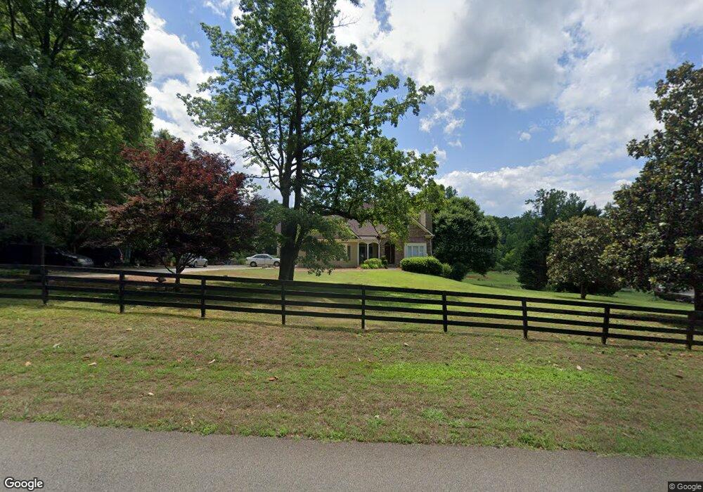
211 Allendale Dr Canton, GA 30115
Union Hill NeighborhoodEstimated Value: $670,208 - $848,000
3
Beds
3
Baths
3,842
Sq Ft
$197/Sq Ft
Est. Value
About This Home
This home is located at 211 Allendale Dr, Canton, GA 30115 and is currently estimated at $757,552, approximately $197 per square foot. 211 Allendale Dr is a home located in Cherokee County with nearby schools including Free Home Elementary School, Creekland Middle School, and Creekview High School.
Ownership History
Date
Name
Owned For
Owner Type
Purchase Details
Closed on
Feb 12, 2016
Sold by
Liefeld Craig J
Bought by
Ridgeway Karen
Current Estimated Value
Home Financials for this Owner
Home Financials are based on the most recent Mortgage that was taken out on this home.
Original Mortgage
$348,570
Outstanding Balance
$279,826
Interest Rate
4.25%
Mortgage Type
FHA
Estimated Equity
$477,726
Purchase Details
Closed on
Jan 31, 2008
Sold by
Martin Harold A and Martin Linda C
Bought by
Leifeld Craig J and Leifeld Joanna B
Home Financials for this Owner
Home Financials are based on the most recent Mortgage that was taken out on this home.
Original Mortgage
$342,000
Interest Rate
5.46%
Mortgage Type
New Conventional
Create a Home Valuation Report for This Property
The Home Valuation Report is an in-depth analysis detailing your home's value as well as a comparison with similar homes in the area
Home Values in the Area
Average Home Value in this Area
Purchase History
| Date | Buyer | Sale Price | Title Company |
|---|---|---|---|
| Ridgeway Karen | $355,000 | -- | |
| Leifeld Craig J | $360,000 | -- |
Source: Public Records
Mortgage History
| Date | Status | Borrower | Loan Amount |
|---|---|---|---|
| Open | Ridgeway Karen | $348,570 | |
| Previous Owner | Leifeld Craig J | $342,000 |
Source: Public Records
Tax History
| Year | Tax Paid | Tax Assessment Tax Assessment Total Assessment is a certain percentage of the fair market value that is determined by local assessors to be the total taxable value of land and additions on the property. | Land | Improvement |
|---|---|---|---|---|
| 2025 | $1,416 | $238,504 | $40,000 | $198,504 |
| 2024 | $1,906 | $230,272 | $40,000 | $190,272 |
| 2023 | $2,376 | $244,084 | $40,000 | $204,084 |
| 2022 | $1,798 | $203,856 | $40,000 | $163,856 |
| 2021 | $1,377 | $171,028 | $32,000 | $139,028 |
| 2020 | $4,490 | $165,156 | $32,000 | $133,156 |
| 2019 | $4,045 | $146,000 | $28,800 | $117,200 |
| 2018 | $4,101 | $147,440 | $28,800 | $118,640 |
| 2017 | $3,984 | $345,700 | $28,800 | $109,480 |
| 2016 | $3,689 | $323,700 | $28,800 | $100,680 |
| 2015 | $3,755 | $326,800 | $28,800 | $101,920 |
| 2014 | $3,816 | $332,400 | $28,800 | $104,160 |
Source: Public Records
Map
Nearby Homes
- 12184 Cumming Hwy
- 320 Allendale Dr
- 364 Smithwick Rd
- 140 Red Gate Lakes Dr
- 11501 Cumming Hwy
- 2691 Trinity Church Rd
- 150 Trinity Farm Dr
- 10004 Freehome Hwy
- 713 Hicks Rd
- 1468 Trinity Church Rd
- 200 Morning Glory Ridge Unit 1
- 203 Davis Mill Rd
- 202 Davis Mill Rd
- 889 Freehome Rd
- 602 Bayberry Point Unit 2
- 203 Trinity Way
- 949 Freehome Rd
- 152 Sherwood Ln
- 146 Sherwood Ln
- 146/148 Sherwood Ln
- 221 Allendale Dr
- 201 Allendale Dr
- 200 Allendale Dr
- 210 Allendale Dr Unit 1
- 231 Allendale Dr
- 241 Allendale Dr
- 220 Allendale Dr
- 667 Smithwick Rd
- 0 Smithwick Rd Unit 8517475
- 0 Smithwick Rd Unit 8728653
- 0 Smithwick Rd
- 230 Allendale Dr
- 679 Smithwick Rd
- 680 Smithwick Rd
- 240 Allendale Dr
- 648 Smithwick Rd Unit 648
- 648 Smithwick Rd
- 12122 Cumming Hwy
- 305 Smithwick Rd
- 251 Allendale Dr
Your Personal Tour Guide
Ask me questions while you tour the home.