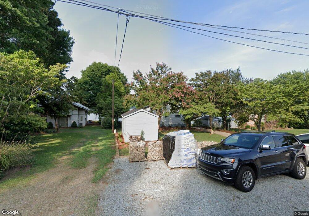
211 Commodore Loop Mooresville, NC 28117
Estimated Value: $1,006,991 - $1,240,000
3
Beds
2
Baths
2,246
Sq Ft
$496/Sq Ft
Est. Value
About This Home
This home is located at 211 Commodore Loop, Mooresville, NC 28117 and is currently estimated at $1,114,748, approximately $496 per square foot. 211 Commodore Loop is a home located in Iredell County with nearby schools including Woodland Heights Elementary School and Lake Norman High School.
Ownership History
Date
Name
Owned For
Owner Type
Purchase Details
Closed on
Jun 1, 2016
Sold by
Triece John Randolph and Triece Philip Timothy
Bought by
Brannon Ronald H
Current Estimated Value
Home Financials for this Owner
Home Financials are based on the most recent Mortgage that was taken out on this home.
Original Mortgage
$411,200
Outstanding Balance
$318,257
Interest Rate
3%
Mortgage Type
Adjustable Rate Mortgage/ARM
Estimated Equity
$796,491
Purchase Details
Closed on
Mar 1, 1991
Purchase Details
Closed on
Jun 1, 1968
Create a Home Valuation Report for This Property
The Home Valuation Report is an in-depth analysis detailing your home's value as well as a comparison with similar homes in the area
Home Values in the Area
Average Home Value in this Area
Purchase History
| Date | Buyer | Sale Price | Title Company |
|---|---|---|---|
| Brannon Ronald H | $521,000 | Chicago Title | |
| -- | -- | -- | |
| -- | -- | -- |
Source: Public Records
Mortgage History
| Date | Status | Borrower | Loan Amount |
|---|---|---|---|
| Open | Brannon Ronald H | $411,200 |
Source: Public Records
Tax History
| Year | Tax Paid | Tax Assessment Tax Assessment Total Assessment is a certain percentage of the fair market value that is determined by local assessors to be the total taxable value of land and additions on the property. | Land | Improvement |
|---|---|---|---|---|
| 2025 | $5,373 | $900,570 | $551,250 | $349,320 |
| 2024 | $5,373 | $900,570 | $551,250 | $349,320 |
| 2023 | $5,373 | $900,570 | $551,250 | $349,320 |
| 2022 | $3,363 | $526,350 | $315,000 | $211,350 |
| 2021 | $3,359 | $526,350 | $315,000 | $211,350 |
| 2020 | $2,899 | $453,090 | $315,000 | $138,090 |
| 2019 | $2,854 | $453,090 | $315,000 | $138,090 |
| 2018 | $2,281 | $373,090 | $288,750 | $84,340 |
| 2017 | $2,281 | $373,090 | $288,750 | $84,340 |
| 2016 | $2,281 | $373,090 | $288,750 | $84,340 |
| 2015 | $2,281 | $373,090 | $288,750 | $84,340 |
| 2014 | $2,048 | $359,550 | $267,750 | $91,800 |
Source: Public Records
Map
Nearby Homes
- 116 Stover Rd
- 497 Canvasback Rd
- 137 Hiram Rd
- 430 Stutts Rd
- 150 Driftwood Dr
- 126 Patience Place Ln
- 486 Stutts Rd
- 123 Ensign Rd
- 332 Shoreline Loop
- 137 Gondola Rd
- 406 Canvasback Rd
- 114 Palmetto Dr
- 182 Malibu Rd
- 110 Isle Run Dr
- 405 Isle of Pines Rd
- 118 Broadbill Dr
- 121 Lake Pine Rd
- 132 Malibu Rd
- 354 Catalina Dr Unit 24
- 152 Forum Dr
- 209 Commodore Loop
- 215 Commodore Loop
- 207 Commodore Loop
- 219 Commodore Loop
- 219 Commodore Loop Unit 48
- 205 Commodore Loop
- 221 Commodore Loop
- 210 Commodore Loop
- 203 Commodore Loop
- 105 Mainview Dr
- 105 Mainview Dr Unit 181-182
- 225 Commodore Loop
- 220 Commodore Loop
- 197 Commodore Loop
- 109 Mainview Dr
- 227 Commodore Loop
- 227 Commodore Loop
- 191 Commodore Loop
- 191 Commodore Loop Unit 40
- 111 Mainview Dr
Your Personal Tour Guide
Ask me questions while you tour the home.