211 Cook Rd Winnsboro, SC 29180
Estimated Value: $107,000 - $171,000
3
Beds
1
Bath
1,152
Sq Ft
$108/Sq Ft
Est. Value
About This Home
This home is located at 211 Cook Rd, Winnsboro, SC 29180 and is currently estimated at $124,344, approximately $107 per square foot. 211 Cook Rd is a home located in Richland County with nearby schools including Forest Heights Elementary School, Heyward Gibbes Middle School, and Eau Claire High School.
Ownership History
Date
Name
Owned For
Owner Type
Purchase Details
Closed on
Aug 13, 2004
Sold by
Mack Geraline K
Bought by
Kelley Stanley
Current Estimated Value
Purchase Details
Closed on
Aug 12, 2004
Sold by
Kelley Thelma
Bought by
Favor Vernice
Purchase Details
Closed on
Aug 6, 2004
Sold by
Kelley Willie Leon
Bought by
Kelley Stanley
Purchase Details
Closed on
Jul 14, 2004
Sold by
Kelley Thelma B
Bought by
Kelley Stanley
Purchase Details
Closed on
Jul 13, 2004
Sold by
Kelley Kim S
Bought by
Kelley Stanley
Purchase Details
Closed on
Aug 18, 1979
Sold by
Kelley Leroy and Kelley Thelma
Bought by
Kelley Stanley
Create a Home Valuation Report for This Property
The Home Valuation Report is an in-depth analysis detailing your home's value as well as a comparison with similar homes in the area
Purchase History
| Date | Buyer | Sale Price | Title Company |
|---|---|---|---|
| Kelley Stanley | -- | -- | |
| Kelley Stanley | -- | -- | |
| Favor Vernice | -- | -- | |
| Kelley Stanley | -- | -- | |
| Kelley Stanley | -- | -- | |
| Kelley Stanley | -- | -- | |
| Kelley Stanley | -- | -- |
Source: Public Records
Tax History
| Year | Tax Paid | Tax Assessment Tax Assessment Total Assessment is a certain percentage of the fair market value that is determined by local assessors to be the total taxable value of land and additions on the property. | Land | Improvement |
|---|---|---|---|---|
| 2024 | $1,761 | $52,500 | $0 | $0 |
| 2023 | $1,716 | $1,828 | $0 | $0 |
| 2022 | $1,572 | $45,700 | $6,800 | $38,900 |
| 2021 | $1,554 | $1,830 | $0 | $0 |
| 2020 | $1,561 | $1,830 | $0 | $0 |
| 2019 | $608 | $1,830 | $0 | $0 |
| 2018 | $535 | $1,590 | $0 | $0 |
| 2017 | $527 | $1,590 | $0 | $0 |
| 2016 | $525 | $1,590 | $0 | $0 |
| 2015 | $516 | $1,590 | $0 | $0 |
| 2014 | $506 | $39,700 | $0 | $0 |
| 2013 | -- | $1,590 | $0 | $0 |
Source: Public Records
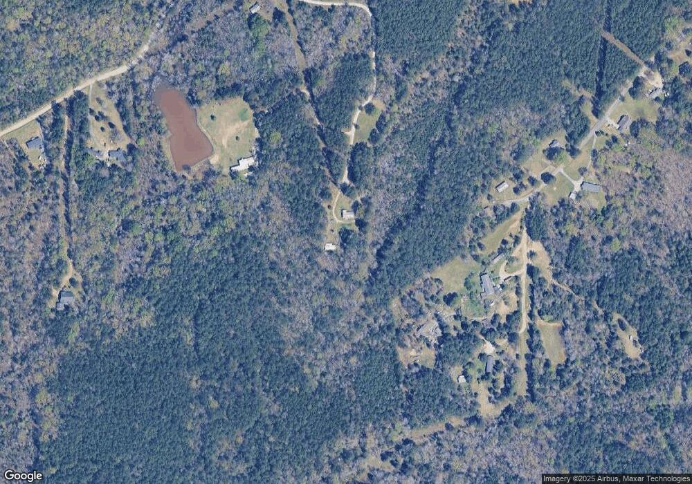
Map
Nearby Homes
- 1020 Cedar Creek Rd
- 1030 Blume Rd
- 242 Chappell Rd
- 230 Cedar Shoals Way
- 129 Tiger Paw Ln
- 558 Wild Ginger Loop
- 2720 Kennerly Rd
- 112 Tangleworth
- 1141 Old Brickyard Rd
- 276 Livingston Woods Dr
- 248 Livingston Woods Dr
- 241 Livingston Woods Dr
- 271 Livingston Woods Dr
- 237 Livingston Woods Dr
- 214 Livingston Woods Dr
- 256 Livingston Woods Dr
- 262 Livingston Woods Dr
- 282 Livingston Woods Dr
- 415 Lancashire Ln
- 408 Lancashire Ln
- 140 Cook Rd
- 159 Isaac Cook Rd
- 148 Isaac Cook Rd
- 158 Isaac Cook Rd
- 204 Isaac Cook Rd
- 114 Cook Rd
- 229 Lilton Rd
- 138 Isaac Cook Rd
- 133 Isaac Cook Rd
- 127 Isaac Cook Rd
- 239 Lilton Rd
- 10837 Monticello Rd
- 10733 Monticello Rd
- 10851 Monticello Rd
- 115 Isaac Cook Rd
- 0 State Hwy 215 Hwy Unit 325721
- 0 State Hwy 215 Hwy Unit 344172
- 000 State Hwy 215 Hwy S
- 2090 State Hwy 215 Hwy S
- 10840 Monticello Rd
Your Personal Tour Guide
Ask me questions while you tour the home.