211 Maple St Kodiak, AK 99615
Estimated Value: $277,613 - $1,345,000
2
Beds
1
Bath
1,096
Sq Ft
$559/Sq Ft
Est. Value
About This Home
This home is located at 211 Maple St, Kodiak, AK 99615 and is currently estimated at $612,153, approximately $558 per square foot. 211 Maple St is a home located in Kodiak Island Borough with nearby schools including St. Mary's School.
Ownership History
Date
Name
Owned For
Owner Type
Purchase Details
Closed on
Jul 27, 2009
Sold by
Orellana Juan A
Bought by
Keyse Matthew D
Current Estimated Value
Home Financials for this Owner
Home Financials are based on the most recent Mortgage that was taken out on this home.
Original Mortgage
$159,000
Interest Rate
5.08%
Mortgage Type
New Conventional
Purchase Details
Closed on
Jan 8, 2007
Sold by
Bryan Lan and Chicas Paulino
Bought by
Orellana Juan A
Home Financials for this Owner
Home Financials are based on the most recent Mortgage that was taken out on this home.
Original Mortgage
$145,900
Interest Rate
6.16%
Mortgage Type
Purchase Money Mortgage
Purchase Details
Closed on
Mar 20, 2006
Sold by
Bryan Lan
Bought by
Lan Chicas Paulino and Lan Bryan
Home Financials for this Owner
Home Financials are based on the most recent Mortgage that was taken out on this home.
Original Mortgage
$105,600
Interest Rate
10.25%
Mortgage Type
Stand Alone Refi Refinance Of Original Loan
Create a Home Valuation Report for This Property
The Home Valuation Report is an in-depth analysis detailing your home's value as well as a comparison with similar homes in the area
Purchase History
| Date | Buyer | Sale Price | Title Company |
|---|---|---|---|
| Keyse Matthew D | -- | None Available | |
| Orellana Juan A | -- | None Available | |
| Lan Chicas Paulino | -- | None Available |
Source: Public Records
Mortgage History
| Date | Status | Borrower | Loan Amount |
|---|---|---|---|
| Previous Owner | Keyse Matthew D | $159,000 | |
| Previous Owner | Orellana Juan A | $145,900 | |
| Previous Owner | Lan Chicas Paulino | $105,600 |
Source: Public Records
Tax History
| Year | Tax Paid | Tax Assessment Tax Assessment Total Assessment is a certain percentage of the fair market value that is determined by local assessors to be the total taxable value of land and additions on the property. | Land | Improvement |
|---|---|---|---|---|
| 2025 | $2,744 | $247,400 | $37,100 | $210,300 |
| 2024 | $2,744 | $243,900 | $37,100 | $206,800 |
| 2023 | $2,683 | $219,000 | $30,900 | $188,100 |
| 2022 | $2,545 | $199,600 | $30,900 | $168,700 |
| 2021 | $2,545 | $199,600 | $30,900 | $168,700 |
| 2020 | $2,489 | $195,200 | $30,900 | $164,300 |
| 2019 | $2,489 | $195,200 | $30,900 | $164,300 |
| 2018 | $2,489 | $195,200 | $30,900 | $164,300 |
| 2017 | $2,489 | $195,200 | $30,900 | $164,300 |
| 2016 | -- | $164,100 | $28,000 | $136,100 |
| 2015 | -- | $162,200 | $28,000 | $134,200 |
| 2014 | -- | $162,200 | $28,000 | $134,200 |
| 2013 | -- | $162,200 | $28,000 | $134,200 |
Source: Public Records
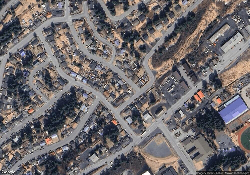
Map
Nearby Homes
- 222 Birch St
- 1011 Willow St
- 417 Maple Ave
- 716 Thorsheim St
- 1217 Purtov St
- 1226 Selief Ln Unit 15
- 821 E Tagura Rd
- 1310 Mission Rd
- 1314 Mission Rd
- 1411 Mission Rd
- 1417 Mission Rd
- 307 High St
- 1612 Ismailov St
- 1716 Selief Ln
- 1815 Chichenof St
- 516 Bonaparte Cir
- 221 Alder Ln
- 1897 L St Unit 15
- 110 Bancroft Dr
- 2310 Beaver Lake Dr
Your Personal Tour Guide
Ask me questions while you tour the home.