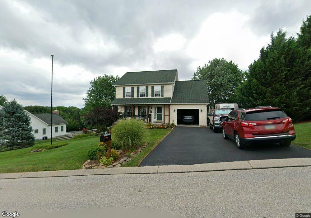
211 Sand Patch Ln Stewartstown, PA 17363
Estimated Value: $381,554 - $424,000
3
Beds
3
Baths
1,853
Sq Ft
$217/Sq Ft
Est. Value
About This Home
This home is located at 211 Sand Patch Ln, Stewartstown, PA 17363 and is currently estimated at $401,639, approximately $216 per square foot. 211 Sand Patch Ln is a home located in York County with nearby schools including South Eastern Intermediate School, South Eastern Middle School, and Kennard-Dale High School.
Ownership History
Date
Name
Owned For
Owner Type
Purchase Details
Closed on
Jul 14, 2000
Sold by
Myers Joseph A
Bought by
Horner Michael M and Horner Rebecca L
Current Estimated Value
Home Financials for this Owner
Home Financials are based on the most recent Mortgage that was taken out on this home.
Original Mortgage
$120,950
Outstanding Balance
$44,107
Interest Rate
8.5%
Estimated Equity
$357,532
Create a Home Valuation Report for This Property
The Home Valuation Report is an in-depth analysis detailing your home's value as well as a comparison with similar homes in the area
Home Values in the Area
Average Home Value in this Area
Purchase History
| Date | Buyer | Sale Price | Title Company |
|---|---|---|---|
| Horner Michael M | $151,230 | -- |
Source: Public Records
Mortgage History
| Date | Status | Borrower | Loan Amount |
|---|---|---|---|
| Open | Horner Michael M | $120,950 | |
| Closed | Horner Michael M | $22,650 |
Source: Public Records
Tax History
| Year | Tax Paid | Tax Assessment Tax Assessment Total Assessment is a certain percentage of the fair market value that is determined by local assessors to be the total taxable value of land and additions on the property. | Land | Improvement |
|---|---|---|---|---|
| 2025 | $5,823 | $198,330 | $57,370 | $140,960 |
| 2024 | $5,823 | $198,330 | $57,370 | $140,960 |
| 2023 | $5,823 | $198,330 | $57,370 | $140,960 |
| 2022 | $5,782 | $196,930 | $57,370 | $139,560 |
| 2021 | $5,585 | $196,930 | $57,370 | $139,560 |
| 2020 | $5,585 | $196,930 | $57,370 | $139,560 |
| 2019 | $5,565 | $196,930 | $57,370 | $139,560 |
| 2018 | $5,565 | $196,930 | $57,370 | $139,560 |
| 2017 | $5,565 | $196,930 | $57,370 | $139,560 |
| 2016 | $0 | $196,930 | $57,370 | $139,560 |
| 2015 | -- | $196,930 | $57,370 | $139,560 |
| 2014 | -- | $196,930 | $57,370 | $139,560 |
Source: Public Records
Map
Nearby Homes
- 17995 Dave Anne Cir
- 17 Charles Ave
- 18016 Dave Anne Cir
- 480 Hollow Rd
- 70 Piston Ct
- 55 Brakeman Dr
- 29 High St
- 9 W Pennsylvania Ave
- 34 Mill St
- 0 Mill St Unit 64
- 304 N Marshview Rd Unit 304
- 18183 Piedmont Rd
- 120 Shawnee Dr
- 12 Locust St
- 5241 Anderson Rd
- 3870 Autumn Ln
- 15138 Little Rd
- 5086 Lakewood Ln
- 4548 Rinely Rd
- 0 Five Forks Rd Unit PAYK2095070
- 215 Sand Patch Ln
- 205 Sand Patch Ln
- 210 Sand Patch Ln
- 211 E Scarborough Fare
- 219 Sand Patch Ln
- 214 Sand Patch Ln
- 219 E Scarborough Fare
- 220 Sand Patch Ln
- 223 Sand Patch Ln
- 226 Sand Patch Ln
- 205 Runningboard Rd
- 223 E Scarborough Fare
- 214 E Scarborough Fare
- 205 E Scarborough Fare
- 209 Runningboard Rd
- 227 Sand Patch Ln
- 210 E Scarborough Fare
- 110 Switchpoint Dr
- 215 Runningboard Rd
- 218 E Scarborough Fare
Your Personal Tour Guide
Ask me questions while you tour the home.