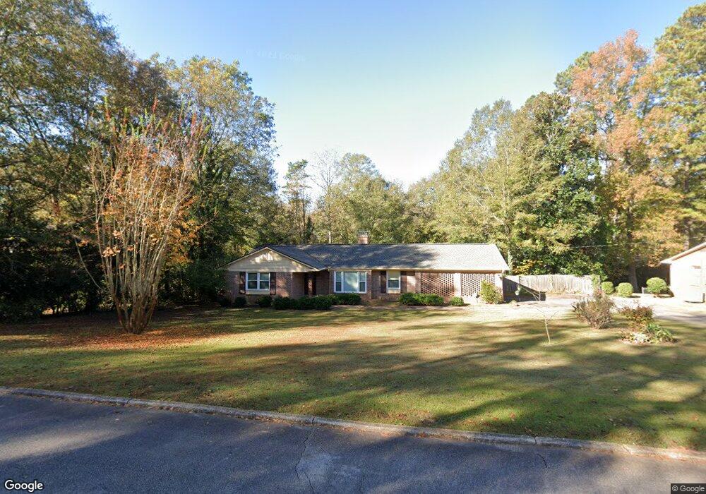
211 Westwood Dr Lagrange, GA 30240
Estimated Value: $269,000 - $301,000
About This Home
This home is located at 211 Westwood Dr, Lagrange, GA 30240 and is currently estimated at $286,289, approximately $178 per square foot. 211 Westwood Dr is a home located in Troup County with nearby schools including Hollis Hand Elementary School, Ethel W. Kight Elementary School, and Franklin Forest Elementary School.
Ownership History
We collect this data history from publicly available records. To have your information removed, we recommend requesting removal directly through your county’s website.
Purchase Details
Purchase Details
Purchase Details
Purchase History
We collect this data history from publicly available records. To have your information removed, we recommend requesting removal directly through your county’s website.
| Date | Buyer | Sale Price | Title Company |
|---|---|---|---|
| $44,000 | -- | ||
| $43,000 | -- | ||
| -- | -- |
Tax History
We collect this data history from publicly available records. To have your information removed, we recommend requesting removal directly through your county’s website.
| Year | Tax Paid | Tax Assessment Tax Assessment Total Assessment is a certain percentage of the fair market value that is determined by local assessors to be the total taxable value of land and additions on the property. | Land | Improvement |
|---|---|---|---|---|
| 2025 | $1,885 | $102,920 | $18,000 | $84,920 |
| 2024 | $1,543 | $83,480 | $18,000 | $65,480 |
| 2023 | $1,351 | $76,440 | $18,000 | $58,440 |
| 2022 | $1,322 | $73,760 | $18,000 | $55,760 |
| 2021 | $1,631 | $61,840 | $18,000 | $43,840 |
| 2020 | $1,631 | $61,840 | $18,000 | $43,840 |
| 2019 | $1,260 | $49,520 | $13,120 | $36,400 |
| 2018 | $1,208 | $47,800 | $13,120 | $34,680 |
| 2017 | $1,100 | $44,237 | $12,557 | $31,680 |
| 2016 | $1,086 | $43,743 | $12,557 | $31,186 |
| 2015 | $1,280 | $44,346 | $13,160 | $31,186 |
| 2014 | $1,263 | $43,702 | $13,160 | $30,543 |
| 2013 | -- | $45,806 | $13,188 | $32,618 |
Map
- 501 Pineview Terrace
- 421 Ridgecrest Rd
- 601 Cherokee Rd
- 910 Piney Woods Dr
- 0 Hills and Dales Farm Rd
- 0 N Lee St Unit 10550825
- 213 N Lee St
- 217 Jefferson St
- TRACT 1 W Haralson St
- 725 N Greenwood St
- 304 Boulevard
- 404 Jefferson St
- 206 Broad St
- 106 Ewing St
- 412 S Lee St
- 219 Banks St
- 405 W Broome St Unit 2
- 405 W Broome St Unit 4
- 405 W Broome St Unit 1
- 405 W Broome St Unit 3
- 217 Westwood Dr
- 219 Westwood Dr
- 733 Ridgecrest Rd
- 737 Ridgecrest Rd
- 729 Ridgecrest Rd
- 220 Westwood Dr
- 218 Westwood Dr
- 223 Westwood Dr
- 226 Westwood Dr Unit LOT 11& 12
- 226 Westwood Dr
- 741 Ridgecrest Rd
- 210 Westwood Dr
- 725 Ridgecrest Rd
- 734 Ridgecrest Rd
- 230 Westwood Dr
- 427 Pineview Terrace
- 732 Ridgecrest Rd
- 109 Westwood Dr
- 431 Pineview Terrace Unit 31
- 431 Pineview Terrace
Ask me questions while you tour the home.