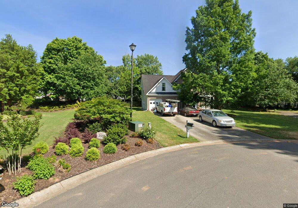
2110 Cedar Point Ln Cumming, GA 30041
Big Creek NeighborhoodEstimated Value: $444,000 - $568,000
3
Beds
3
Baths
2,142
Sq Ft
$239/Sq Ft
Est. Value
About This Home
This home is located at 2110 Cedar Point Ln, Cumming, GA 30041 and is currently estimated at $511,096, approximately $238 per square foot. 2110 Cedar Point Ln is a home located in Forsyth County with nearby schools including Daves Creek Elementary School, South Forsyth Middle School, and South Forsyth High School.
Ownership History
Date
Name
Owned For
Owner Type
Purchase Details
Closed on
Nov 30, 2021
Sold by
Stanley Martin Homes Llc
Bought by
Periyasamy Gowrishankar and Muthusamy Maragatham
Current Estimated Value
Purchase Details
Closed on
Oct 15, 2002
Sold by
Thelen Randall D
Bought by
Thelen Randall D and Thelen Cynthis S
Home Financials for this Owner
Home Financials are based on the most recent Mortgage that was taken out on this home.
Original Mortgage
$190,000
Interest Rate
6.01%
Mortgage Type
Stand Alone Refi Refinance Of Original Loan
Purchase Details
Closed on
Apr 23, 2001
Sold by
Thelen Randall D
Bought by
Thelen Randall D and Thelen Cynthia
Purchase Details
Closed on
May 13, 1994
Sold by
Byers Bldg
Bought by
Thelen Randall D
Home Financials for this Owner
Home Financials are based on the most recent Mortgage that was taken out on this home.
Original Mortgage
$137,250
Interest Rate
5.75%
Create a Home Valuation Report for This Property
The Home Valuation Report is an in-depth analysis detailing your home's value as well as a comparison with similar homes in the area
Home Values in the Area
Average Home Value in this Area
Purchase History
| Date | Buyer | Sale Price | Title Company |
|---|---|---|---|
| Periyasamy Gowrishankar | $417,980 | -- | |
| Thelen Randall D | -- | -- | |
| Thelen Randall D | -- | -- | |
| Thelen Randall D | $152,500 | -- |
Source: Public Records
Mortgage History
| Date | Status | Borrower | Loan Amount |
|---|---|---|---|
| Previous Owner | Thelen Randall D | $190,000 | |
| Previous Owner | Thelen Randall D | $137,250 |
Source: Public Records
Tax History
| Year | Tax Paid | Tax Assessment Tax Assessment Total Assessment is a certain percentage of the fair market value that is determined by local assessors to be the total taxable value of land and additions on the property. | Land | Improvement |
|---|---|---|---|---|
| 2025 | $811 | $180,648 | $68,000 | $112,648 |
| 2024 | $811 | $165,008 | $60,000 | $105,008 |
| 2023 | $707 | $164,444 | $60,000 | $104,444 |
Source: Public Records
Map
Nearby Homes
- 1970 Quail Hollow Dr
- 1820 Stonington Dr
- 1350 Rogers Mill Ln
- 3985 Chestnut Springs Ct
- 2095 Melrose Trace
- 1120 Beech Ct
- 8910 Ellesmere Dr
- 2025 Seneca Creek Dr
- 1985 Brannon Heard Ln
- 4965 Cheltenham Place
- 3711 Melody Mizer Ln
- 8640 Amsbury Way
- 7047 Bennington Ln
- 8009 Allerton Ln
- 8635 Amsbury Way
- 2485 Stewart Rd
- 2470 Stewart Rd
- 2315 Gilbert Rd
- 1450 Harburn Ct Unit III
- 2030 Vicki Ln
- 2090 Cedar Point Ln
- 1960 Quail Hollow Dr
- 1950 Quail Hollow Dr
- 2095 Cedar Point Ln
- 1870 Westwind Dr
- 2070 Cedar Point Ln
- 1860 Westwind Dr
- 2085 Cedar Point Ln
- 1940 Quail Hollow Dr
- 2055 Cedar Point Ln
- 1890 Westwind Dr
- 1930 Quail Hollow Dr
- 2060 Cedar Point Ln
- 1925 Bethany Spring Trace
- 1955 Quail Hollow Dr
- 1875 Westwind Dr
- 1965 Quail Hollow Dr
- 1865 Westwind Dr
- 1935 Quail Hollow Dr Unit 17
- 1935 Quail Hollow Dr
Your Personal Tour Guide
Ask me questions while you tour the home.