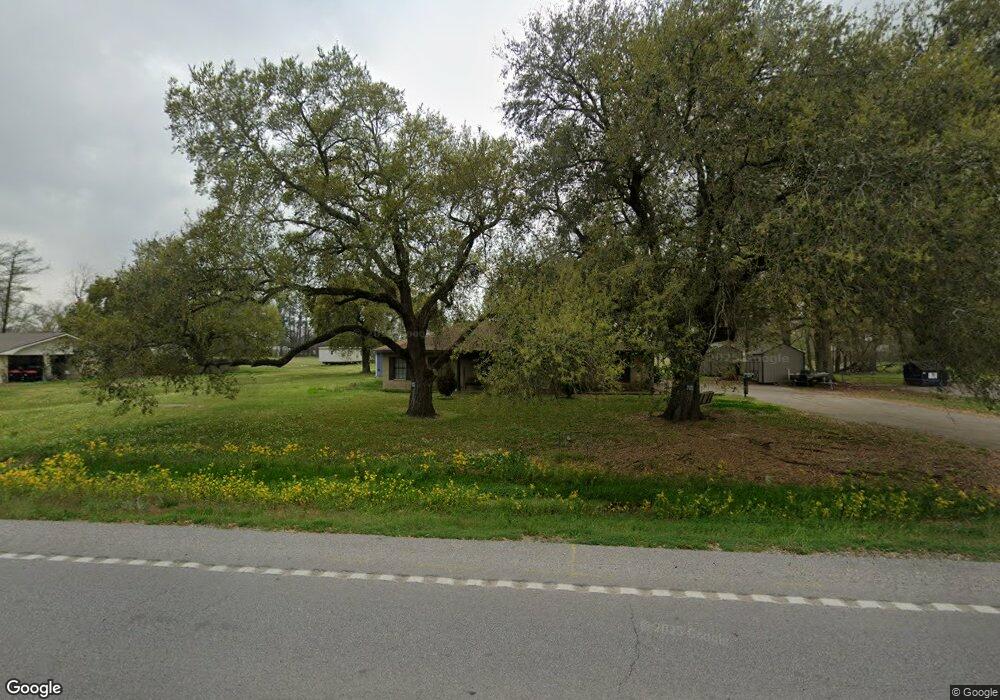
2110 S Fieldspan Rd Duson, LA 70529
North Lafayette Parish NeighborhoodEstimated Value: $201,768 - $258,000
Studio
--
Bath
1,734
Sq Ft
$128/Sq Ft
Est. Value
About This Home
This home is located at 2110 S Fieldspan Rd, Duson, LA 70529 and is currently estimated at $221,192, approximately $127 per square foot. 2110 S Fieldspan Rd is a home located in Lafayette Parish with nearby schools including Charles M. Burke Elementary School, Judice Middle School, and Acadiana High School.
Ownership History
Date
Name
Owned For
Owner Type
Purchase Details
Closed on
Apr 12, 2021
Sold by
Broussard Lori Anne
Bought by
Broussard Daniel Joseph and Broussard Megan Lauren
Current Estimated Value
Purchase Details
Closed on
May 13, 2016
Sold by
Bourque Bourque Irby Ray Irby Ray and Bourque Bernard Jenell
Bought by
Broussard Daniel
Home Financials for this Owner
Home Financials are based on the most recent Mortgage that was taken out on this home.
Original Mortgage
$48,500
Interest Rate
3.58%
Mortgage Type
New Conventional
Create a Home Valuation Report for This Property
The Home Valuation Report is an in-depth analysis detailing your home's value as well as a comparison with similar homes in the area
Home Values in the Area
Average Home Value in this Area
Purchase History
| Date | Buyer | Sale Price | Title Company |
|---|---|---|---|
| Broussard Daniel Joseph | -- | None Available | |
| Broussard Daniel | $50,000 | Multiple |
Source: Public Records
Mortgage History
| Date | Status | Borrower | Loan Amount |
|---|---|---|---|
| Previous Owner | Broussard Daniel | $48,500 |
Source: Public Records
Tax History
| Year | Tax Paid | Tax Assessment Tax Assessment Total Assessment is a certain percentage of the fair market value that is determined by local assessors to be the total taxable value of land and additions on the property. | Land | Improvement |
|---|---|---|---|---|
| 2024 | $586 | $14,138 | $1,794 | $12,344 |
| 2023 | $586 | $13,762 | $1,794 | $11,968 |
| 2022 | $1,212 | $13,762 | $1,794 | $11,968 |
| 2021 | $1,217 | $13,762 | $1,794 | $11,968 |
| 2020 | $1,216 | $13,762 | $1,794 | $11,968 |
| 2019 | $230 | $10,234 | $1,000 | $9,234 |
| 2018 | $235 | $10,234 | $1,000 | $9,234 |
Source: Public Records
Map
Nearby Homes
- 600 S Fieldspan Rd
- 202 Eagle Heights Dr
- 200 Eagle Heights Dr
- 100 Eagle Heights Dr
- 102 Eagle Heights Dr
- 104 Eagle Heights Dr
- 106 Eagle Heights Dr
- 110 Eagle Heights Dr
- 112 Eagle Heights Dr
- 237 Oak Heights Dr
- 240 Oak Heights Dr
- 1700-A Blk S Fieldspan Rd
- 300 Oak Heights Dr
- 1700-B Blk S Fieldspan Rd
- 1700-C Blk S Fieldspan Rd
- 1600 Blk S Fieldspan Rd
- 1100 S Fieldspan Rd Unit Lot B
- 1600-A Blk S Fieldspan Rd
- 1100 S Fieldspan Rd Unit Lot A
- 100 Blk P Molbert Rd
- 2112 S Fieldspan Rd
- 2118 S Fieldspan Rd
- 2100 S Fieldspan Rd
- 6421 W Congress St
- 101 Corteline Rd
- 6329 W Congress St
- 110 Corteline Rd
- 2124 S Fieldspan Rd
- 6333 W Congress St
- 6429 W Congress St
- 2130 S Fieldspan Rd
- 120 Corteline Rd
- 6313 W Congress St
- 130 Corteline Rd
- 2135 S Fieldspan Rd
- 2121 S Fieldspan Rd
- 2132 S Fieldspan Rd
- 2136 S Fieldspan Rd
- 6501 W Congress St
- 6305 W Congress St
Your Personal Tour Guide
Ask me questions while you tour the home.