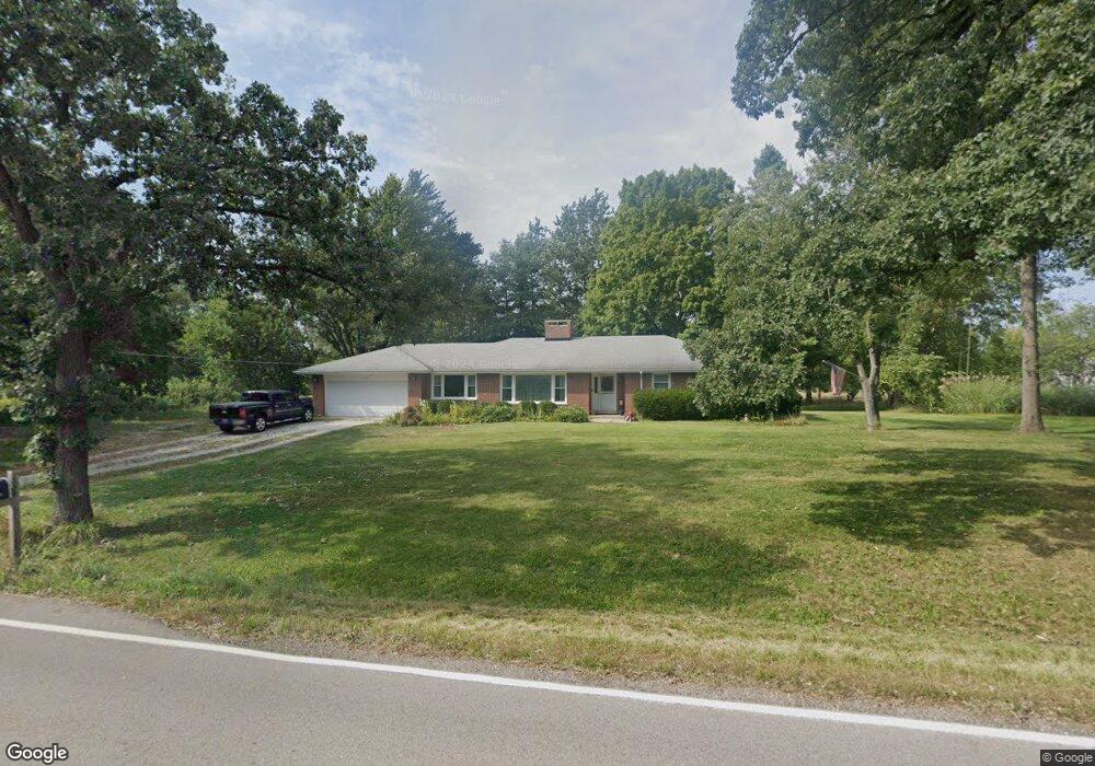
2110 W Wright Rd McHenry, IL 60050
Colby Point NeighborhoodEstimated Value: $418,681 - $601,000
3
Beds
4
Baths
6,048
Sq Ft
$84/Sq Ft
Est. Value
About This Home
This home is located at 2110 W Wright Rd, McHenry, IL 60050 and is currently estimated at $509,670, approximately $84 per square foot. 2110 W Wright Rd is a home located in McHenry County with nearby schools including Prairie Grove Elementary School, Prairie Grove Junior High School, and Prairie Ridge High School.
Ownership History
Date
Name
Owned For
Owner Type
Purchase Details
Closed on
Mar 19, 2020
Sold by
Hardin Thomas S and Hardin Judith M
Bought by
Heffernan Holdings Ltd
Current Estimated Value
Home Financials for this Owner
Home Financials are based on the most recent Mortgage that was taken out on this home.
Original Mortgage
$325,000
Outstanding Balance
$287,285
Interest Rate
3.4%
Mortgage Type
Credit Line Revolving
Estimated Equity
$222,385
Create a Home Valuation Report for This Property
The Home Valuation Report is an in-depth analysis detailing your home's value as well as a comparison with similar homes in the area
Home Values in the Area
Average Home Value in this Area
Purchase History
| Date | Buyer | Sale Price | Title Company |
|---|---|---|---|
| Heffernan Holdings Ltd | $750,000 | Attorney |
Source: Public Records
Mortgage History
| Date | Status | Borrower | Loan Amount |
|---|---|---|---|
| Open | Heffernan Holdings Ltd | $325,000 |
Source: Public Records
Tax History
| Year | Tax Paid | Tax Assessment Tax Assessment Total Assessment is a certain percentage of the fair market value that is determined by local assessors to be the total taxable value of land and additions on the property. | Land | Improvement |
|---|---|---|---|---|
| 2024 | $8,456 | $105,930 | $33,824 | $72,106 |
| 2023 | $8,407 | $94,996 | $30,333 | $64,663 |
| 2022 | $7,915 | $86,873 | $27,739 | $59,134 |
| 2021 | $7,480 | $81,449 | $26,007 | $55,442 |
| 2020 | $7,387 | $79,007 | $25,227 | $53,780 |
| 2019 | $7,225 | $75,116 | $23,985 | $51,131 |
| 2018 | $4,857 | $49,994 | $23,169 | $26,825 |
| 2017 | $4,768 | $47,896 | $22,197 | $25,699 |
| 2016 | $5,658 | $54,706 | $21,178 | $33,528 |
| 2013 | -- | $71,610 | $20,156 | $51,454 |
Source: Public Records
Map
Nearby Homes
- 000 Carman Ave S
- 1807 Fargo Ave
- Lot 20 Holiday Dr
- Lot 5 Tower Dr
- 3203 S Bergman Dr
- 1903 Lands Ct
- 2215 Crystal Cir
- 4113 Niblick Ct
- 2702 Baldwin Rd
- 4126 Wildwood Dr
- 3811 Hale Ln
- LOT 8 W Plum St
- LOT 7 W Plum St
- 3873 Carlisle Dr
- 914 Wembley Dr
- 911 Wembley Dr Unit 8
- Lot 9 -10 Louise St
- 640 Pleasant Place Unit 2
- 3888 Carlisle Dr
- 4433 Wildwood Dr
- 2125 W Wright Rd
- 2210 W Wright Rd
- 2014 W Davis Ave
- 2017 Western Ave
- 2008 W Davis Ave
- 2007 Western Ave
- 3011 Keene Ave
- 2014 Western Ave
- 2207 W Wright Rd
- 2001 Western Ave
- 2320 W Wright Rd
- 2916 S Hi Line Ave
- 2008 Western Ave
- 2313 W Wright Rd
- 2917 Keene Ave
- 2007 W Kerry Ln
- 3024 Keene Ave
- 3008 Keene Ave
- 2113 W Wright Rd
- 2016 W Kerry Ln
Your Personal Tour Guide
Ask me questions while you tour the home.