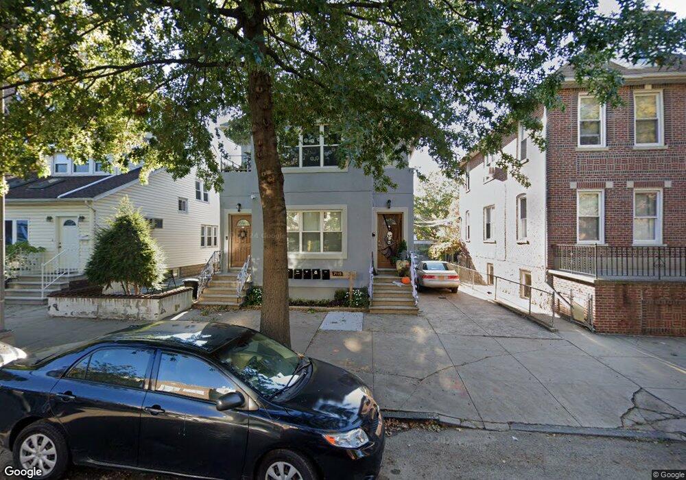
2115 Colonial Ave Unit 2F Bronx, NY 10461
Middletown-Pelham Bay NeighborhoodEstimated Value: $1,285,000 - $1,418,245
3
Beds
1
Bath
1,200
Sq Ft
$1,120/Sq Ft
Est. Value
About This Home
This home is located at 2115 Colonial Ave Unit 2F, Bronx, NY 10461 and is currently estimated at $1,344,311, approximately $1,120 per square foot. 2115 Colonial Ave Unit 2F is a home located in Bronx County with nearby schools including P.S. 71 Rose E Scala, Herbert H Lehman High School, and Carl C. Icahn Charter School 4.
Ownership History
Date
Name
Owned For
Owner Type
Purchase Details
Closed on
Nov 9, 2018
Sold by
Defrancis Joseph M
Bought by
Ponari Bashkim and Ponari Mbarime
Current Estimated Value
Home Financials for this Owner
Home Financials are based on the most recent Mortgage that was taken out on this home.
Original Mortgage
$675,000
Outstanding Balance
$587,562
Interest Rate
4.7%
Mortgage Type
Unknown
Estimated Equity
$756,749
Purchase Details
Closed on
Dec 1, 2016
Sold by
Estate Of Elia Mellusi
Bought by
Defrancis Janet and Iovine Emily
Create a Home Valuation Report for This Property
The Home Valuation Report is an in-depth analysis detailing your home's value as well as a comparison with similar homes in the area
Home Values in the Area
Average Home Value in this Area
Purchase History
| Date | Buyer | Sale Price | Title Company |
|---|---|---|---|
| Ponari Bashkim | $970,000 | -- | |
| Defrancis Janet | -- | -- |
Source: Public Records
Mortgage History
| Date | Status | Borrower | Loan Amount |
|---|---|---|---|
| Open | Ponari Bashkim | $675,000 |
Source: Public Records
Tax History
| Year | Tax Paid | Tax Assessment Tax Assessment Total Assessment is a certain percentage of the fair market value that is determined by local assessors to be the total taxable value of land and additions on the property. | Land | Improvement |
|---|---|---|---|---|
| 2025 | $10,340 | $54,571 | $8,681 | $45,890 |
| 2024 | $10,340 | $51,482 | $9,312 | $42,170 |
| 2023 | $9,864 | $48,569 | $9,000 | $39,569 |
| 2022 | $9,281 | $67,740 | $13,620 | $54,120 |
| 2021 | $10,145 | $70,260 | $13,620 | $56,640 |
| 2020 | $9,626 | $60,780 | $13,620 | $47,160 |
| 2019 | $8,975 | $55,200 | $13,620 | $41,580 |
| 2016 | $8,030 | $40,170 | $12,406 | $27,764 |
| 2015 | $4,605 | $37,897 | $14,404 | $23,493 |
| 2014 | $4,605 | $35,752 | $11,997 | $23,755 |
Source: Public Records
Map
Nearby Homes
- 1874 Pelham Pkwy S Unit 5C
- 1874 Pelham Pkwy S Unit 6M
- 1874 Pelham Pkwy S Unit 3B
- 1874 Pelham Pkwy S Unit 5B
- 1874 Pelham Pkwy S Unit 6E
- 1874 Pelham Pkwy S Unit 4R
- 1910 Pelham Pkwy S Unit 3G
- 1910 Pelham Pkwy S Unit 3H
- 2054 Saint Paul Ave
- 2024 Continental Ave
- 2015 St Paul Ave Unit 3G
- 2015 Saint Paul Ave Unit 6I
- 2032 Hobart Ave
- 2025 Hobart Ave
- 2010 Hobart Ave
- 2849 E 195th St
- 2931 Wilkinson Ave
- 1969 Edison Ave
- 2027 Mayflower Ave
- 2857 Wilkinson Ave
- 2115 Colonial Ave Unit 2
- 2115 Colonial Ave
- 2115 Colonial Ave Unit 1F
- 2119 Colonial Ave
- 2111 Colonial Ave
- 2121 Colonial Ave
- 2123 Colonial Ave
- 2965 E 196th St
- 2125 Colonial Ave
- 2112 Saint Paul Ave
- 2110 Saint Paul Ave
- 2120 Saint Paul Ave
- 2108 Saint Paul Ave
- 2124 Saint Paul Ave
- 2955 E 196th St Unit D9
- 2955 E 196th St
- 2116 Colonial Ave
- 2112 Colonial Ave
- 2108 Colonial Ave
- 2106 Colonial Ave
Your Personal Tour Guide
Ask me questions while you tour the home.