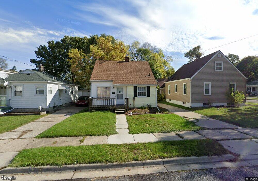
2115 Stirling Ave Lansing, MI 48910
Greencroft Park NeighborhoodEstimated Value: $91,857 - $106,000
Studio
--
Bath
888
Sq Ft
$112/Sq Ft
Est. Value
About This Home
This home is located at 2115 Stirling Ave, Lansing, MI 48910 and is currently estimated at $99,714, approximately $112 per square foot. 2115 Stirling Ave is a home located in Ingham County with nearby schools including Averill Elementary School, Attwood School, and J.W. Sexton High School.
Ownership History
Date
Name
Owned For
Owner Type
Purchase Details
Closed on
Mar 10, 2018
Sold by
Laforet Mark D and Laforet Kim M
Bought by
Laforet Kim M and Klim M Laforet Trust
Current Estimated Value
Purchase Details
Closed on
Apr 11, 2003
Sold by
Laforet Mark D and Laforet Kim M
Bought by
Laforet Kim M
Home Financials for this Owner
Home Financials are based on the most recent Mortgage that was taken out on this home.
Original Mortgage
$53,200
Interest Rate
5.9%
Mortgage Type
Purchase Money Mortgage
Purchase Details
Closed on
Mar 22, 2002
Sold by
Laforet Kim M
Bought by
Laforet Kim M
Create a Home Valuation Report for This Property
The Home Valuation Report is an in-depth analysis detailing your home's value as well as a comparison with similar homes in the area
Home Values in the Area
Average Home Value in this Area
Purchase History
| Date | Buyer | Sale Price | Title Company |
|---|---|---|---|
| Laforet Kim M | -- | None Available | |
| Laforet Kim M | -- | Midstate Title Co | |
| Laforet Mark D | -- | Midstate Title Co | |
| Laforet Kim M | -- | Midstate Title Company |
Source: Public Records
Mortgage History
| Date | Status | Borrower | Loan Amount |
|---|---|---|---|
| Closed | Laforet Mark D | $53,200 |
Source: Public Records
Tax History
| Year | Tax Paid | Tax Assessment Tax Assessment Total Assessment is a certain percentage of the fair market value that is determined by local assessors to be the total taxable value of land and additions on the property. | Land | Improvement |
|---|---|---|---|---|
| 2025 | $2,549 | $41,500 | $5,600 | $35,900 |
| 2024 | $21 | $38,300 | $5,600 | $32,700 |
| 2023 | $2,399 | $33,700 | $5,600 | $28,100 |
| 2022 | $2,192 | $31,800 | $7,100 | $24,700 |
| 2021 | $2,141 | $29,500 | $6,900 | $22,600 |
| 2020 | $2,126 | $27,100 | $6,900 | $20,200 |
| 2019 | $2,053 | $25,500 | $6,900 | $18,600 |
| 2018 | $1,947 | $25,700 | $6,900 | $18,800 |
| 2017 | $1,874 | $25,700 | $6,900 | $18,800 |
| 2016 | $1,800 | $25,300 | $6,900 | $18,400 |
| 2015 | $1,800 | $24,300 | $13,830 | $10,470 |
| 2014 | $1,800 | $23,700 | $13,830 | $9,870 |
Source: Public Records
Map
Nearby Homes
- 815 Woodbine Ave
- 712 Lenore Ave
- 1033 Kelsey Ave
- 612 W Mount Hope Ave
- 717 Smith Ave
- 1917 Osband Ave
- 1116 George St
- 1312 W Mount Hope Ave
- 1315 Goodrich St
- 1414 Cooper Ave
- 1723 Osband Ave
- 1824 Davis Ave
- 0 Rickle
- 1516 Berkeley Dr
- 1027 Britten Ave
- 1309 Hammond St
- 1618 Loraine Ave
- 1319 Pico Ave
- 924 Loa St
- 1120 Alsdorf St
- 2111 Stirling Ave
- 2109 Stirling Ave
- 908 Poxson Ave
- 2105 Stirling Ave
- 904 Poxson Ave
- 909 Cooper Ave
- 2201 Stirling Ave
- 913 Poxson Ave
- 900 Poxson Ave
- 905 Cooper Ave
- 2114 Stirling Ave
- 1000 Poxson Ave
- 909 Poxson Ave
- 2108 Stirling Ave
- 901 Cooper Ave
- 2211 Stirling Ave
- 2104 Stirling Ave
- 822 Poxson Ave
- 905 Poxson Ave
- 1001 Poxson Ave
Your Personal Tour Guide
Ask me questions while you tour the home.