2117 Davis Ct Rolling Meadows, IL 60008
Plum Grove Village NeighborhoodEstimated Value: $578,000 - $613,000
4
Beds
3
Baths
2,476
Sq Ft
$240/Sq Ft
Est. Value
About This Home
This home is located at 2117 Davis Ct, Rolling Meadows, IL 60008 and is currently estimated at $594,883, approximately $240 per square foot. 2117 Davis Ct is a home located in Cook County with nearby schools including Central Road Elementary School, Plum Grove Jr High School, and William Fremd High School.
Ownership History
Date
Name
Owned For
Owner Type
Purchase Details
Closed on
Feb 2, 2012
Sold by
Canace Michael
Bought by
Canace Laura
Current Estimated Value
Purchase Details
Closed on
Mar 13, 2000
Sold by
Canace Michael J and Canace Laura
Bought by
Canace Michael J and Canace Laura
Create a Home Valuation Report for This Property
The Home Valuation Report is an in-depth analysis detailing your home's value as well as a comparison with similar homes in the area
Home Values in the Area
Average Home Value in this Area
Purchase History
| Date | Buyer | Sale Price | Title Company |
|---|---|---|---|
| Canace Laura | -- | None Available | |
| Canace Michael J | -- | -- |
Source: Public Records
Tax History
| Year | Tax Paid | Tax Assessment Tax Assessment Total Assessment is a certain percentage of the fair market value that is determined by local assessors to be the total taxable value of land and additions on the property. | Land | Improvement |
|---|---|---|---|---|
| 2025 | $10,950 | $50,000 | $8,323 | $41,677 |
| 2024 | $10,950 | $38,000 | $6,854 | $31,146 |
| 2023 | $10,511 | $38,000 | $6,854 | $31,146 |
| 2022 | $10,511 | $38,000 | $6,854 | $31,146 |
| 2021 | $11,469 | $36,880 | $3,427 | $33,453 |
| 2020 | $11,364 | $36,880 | $3,427 | $33,453 |
| 2019 | $11,341 | $40,933 | $3,427 | $37,506 |
| 2018 | $12,226 | $39,951 | $3,182 | $36,769 |
| 2017 | $11,995 | $39,951 | $3,182 | $36,769 |
| 2016 | $12,412 | $43,159 | $3,182 | $39,977 |
| 2015 | $9,651 | $32,203 | $2,937 | $29,266 |
| 2014 | $9,461 | $32,203 | $2,937 | $29,266 |
| 2013 | $9,972 | $34,653 | $2,937 | $31,716 |
Source: Public Records
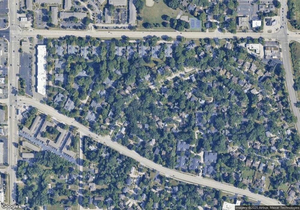
Map
Nearby Homes
- 2 Croydon on Duxbury
- 4406 Euclid Ave Unit 2C
- 4704 Euclid Ave Unit 1B
- 2650 Brookwood Way Dr Unit 203
- 2650 Brookwood Way Dr Unit 108
- 2600 Brookwood Way Dr Unit 316
- 107 Chicory Ct
- 876 S Plum Grove Rd Unit 208
- 3000 California Ave
- 3800 Ashley Ct
- 3806 Ashley Ct
- 2401 Rohlwing Rd
- 123 Honeysuckle Ct
- 36 W Fern Ct Unit 117B
- 31 E Orchard Ln Unit 31
- 712-724 S Plum Grove Rd
- 4800 Amaarja Ct
- 724 S Plum Grove Rd
- 278 W Illinois Ave
- 4795 Woodcliff Ln
- 2127 Davis Ct
- 2102 Vermont St
- 2114 Vermont St
- 2141 Davis Ct
- 2136 Vermont St
- 2116 Davis Ct
- 2128 Davis Ct
- 2078 Vermont St Unit 10
- 2310 Kieth Ct
- 2311 Kieth Ct
- 2155 Davis Ct
- 2148 Vermont St
- 2097 Vermont St
- 2142 Davis Ct
- 2101 Vermont St
- 2083 Vermont St
- 2113 Vermont St
- 2077 Vermont St
- 2125 Vermont St
- 2177 Davis Ct
Your Personal Tour Guide
Ask me questions while you tour the home.