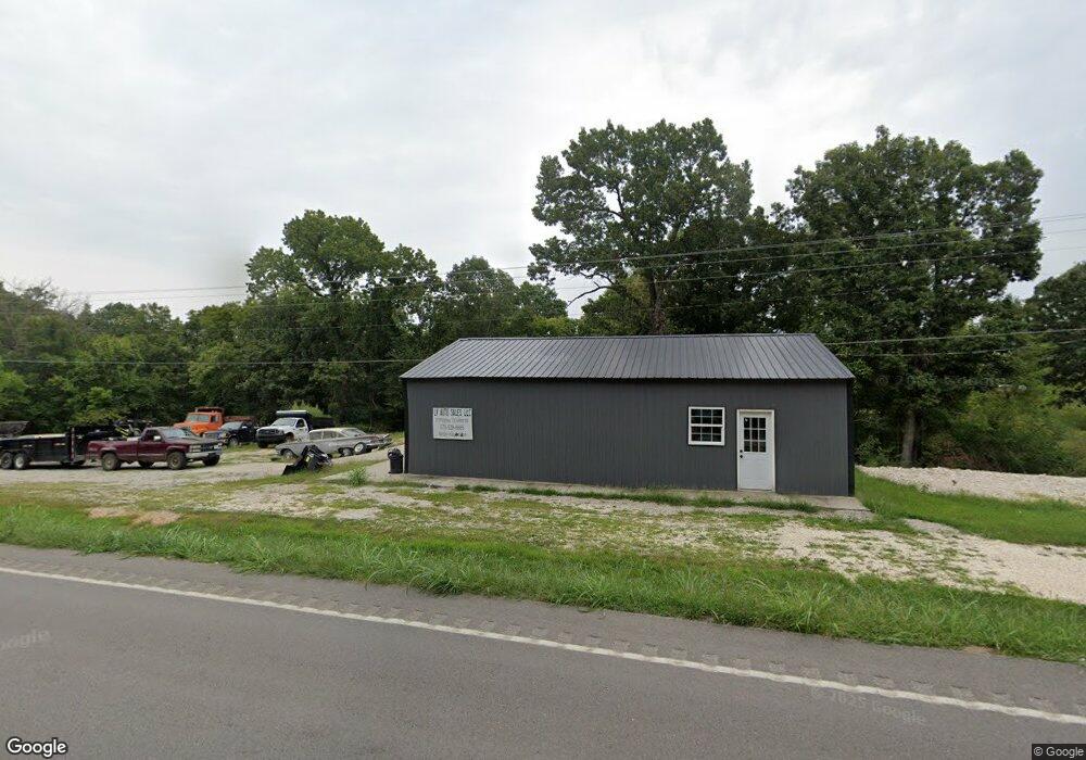
21190 Highway Y Saint Robert, MO 65584
Estimated Value: $35,980 - $206,000
About This Home
This home is located at 21190 Highway Y, Saint Robert, MO 65584 and is currently estimated at $126,495, approximately $136 per square foot. 21190 Highway Y is a home located in Pulaski County with nearby schools including Freedom Elementary School, Waynesville East Elementary School, and Waynesville Sixth Grade Center.
Ownership History
We collect this data history from publicly available records. To have your information removed, we recommend requesting removal directly through your county’s website.
Purchase Details
Home Financials for this Owner
Home Financials are based on the most recent Mortgage that was taken out on this home.Purchase Details
Purchase Details
Home Values in the Area
Average Home Value in this Area
Purchase History
We collect this data history from publicly available records. To have your information removed, we recommend requesting removal directly through your county’s website.
| Date | Buyer | Sale Price | Title Company |
|---|---|---|---|
| $128,888 | -- | ||
| -- | -- | ||
| $48,450 | -- |
Mortgage History
We collect this data history from publicly available records. To have your information removed, we recommend requesting removal directly through your county’s website.
| Date | Status | Borrower | Loan Amount |
|---|---|---|---|
| Open | $103,110 |
Tax History
We collect this data history from publicly available records. To have your information removed, we recommend requesting removal directly through your county’s website.
| Year | Tax Paid | Tax Assessment Tax Assessment Total Assessment is a certain percentage of the fair market value that is determined by local assessors to be the total taxable value of land and additions on the property. | Land | Improvement |
|---|---|---|---|---|
| 2025 | $202 | $4,933 | $3,228 | $1,705 |
| 2024 | $2 | $4,240 | $2,690 | $1,550 |
| 2023 | $180 | $4,240 | $2,690 | $1,550 |
| 2022 | $166 | $4,240 | $2,690 | $1,550 |
| 2021 | $164 | $4,240 | $2,690 | $1,550 |
| 2020 | $168 | $4,240 | $0 | $0 |
| 2019 | $254 | $6,416 | $0 | $0 |
| 2018 | $254 | $6,416 | $0 | $0 |
| 2017 | $254 | $6,416 | $0 | $0 |
| 2016 | $319 | $8,480 | $0 | $0 |
| 2015 | $318 | $8,480 | $0 | $0 |
Map
- 21074 Honest Ln Unit A & B
- 00000 Leaf Ln
- 16565 Hunters Ridge Ln
- 20846 Hibbett Rd
- 20990 Hideaway Ln
- 20834 Hibbett Rd
- 20955 Homer St Unit B
- 20826 Hibbett Rd
- 23201 Topo Dr
- 16960 Lemming Ln
- 21624 Highway Y
- 20715 Hiltner Ln
- 17065 Lemming Ln
- 21700 Highway Y
- 20977 Halifax Dr
- 115 Saw Mill Rd
- 20602 Laramie Rd
- 110 Sawmill Rd
- 17145 Lemming Ln
- 21680 N Horizonway
- 21190 Highway Y
- 21226 Highway Y
- 21226 State Highway Y
- 21226 Highway Y
- 0 Highway Y Unit 21058100
- 123 Y Hwy
- 0 Y Hwy Unit 16045227
- 21279 Highway Y
- 21279 Highway Y
- 21127 Highway Y
- 21120 Highway Y
- 21120 State Highway Y
- 21320 Highway Y
- 21100 Highway Y
- 16801 Lemming Ln
- 21276 Highway Y
- 16805 Lemming Ln
- 21094 Highway Y
- 16815 Lemming Ln
- 540 Highway Y
Ask me questions while you tour the home.