212 Clicker Ln Morrison, MO 65061
Estimated Value: $470,960 - $726,000
Studio
--
Bath
1,980
Sq Ft
$300/Sq Ft
Est. Value
About This Home
This home is located at 212 Clicker Ln, Morrison, MO 65061 and is currently estimated at $593,740, approximately $299 per square foot. 212 Clicker Ln is a home with nearby schools including Osage County Elementary School and Chamois High School.
Ownership History
Date
Name
Owned For
Owner Type
Purchase Details
Closed on
Dec 21, 2020
Sold by
Rost Jason and Rost Ashley Wansing
Bought by
Rost Jason Kyle and Rost Ashley Jane
Current Estimated Value
Home Financials for this Owner
Home Financials are based on the most recent Mortgage that was taken out on this home.
Original Mortgage
$159,000
Outstanding Balance
$127,162
Interest Rate
2.8%
Mortgage Type
New Conventional
Estimated Equity
$466,578
Purchase Details
Closed on
Dec 1, 2017
Sold by
Charlton Marvin G and Charlton Cheryl D
Bought by
Rost Jason and Wansing Ashley
Home Financials for this Owner
Home Financials are based on the most recent Mortgage that was taken out on this home.
Original Mortgage
$164,000
Interest Rate
3.94%
Mortgage Type
New Conventional
Create a Home Valuation Report for This Property
The Home Valuation Report is an in-depth analysis detailing your home's value as well as a comparison with similar homes in the area
Purchase History
| Date | Buyer | Sale Price | Title Company |
|---|---|---|---|
| Rost Jason Kyle | -- | None Available | |
| Rost Jason | -- | None Available |
Source: Public Records
Mortgage History
| Date | Status | Borrower | Loan Amount |
|---|---|---|---|
| Open | Rost Jason Kyle | $159,000 | |
| Closed | Rost Jason | $164,000 |
Source: Public Records
Tax History
| Year | Tax Paid | Tax Assessment Tax Assessment Total Assessment is a certain percentage of the fair market value that is determined by local assessors to be the total taxable value of land and additions on the property. | Land | Improvement |
|---|---|---|---|---|
| 2025 | $1,968 | $33,227 | $0 | $0 |
| 2024 | $15 | $23,922 | $0 | $0 |
| 2023 | $1,378 | $23,680 | $0 | $0 |
| 2022 | $1,335 | $21,850 | $0 | $0 |
| 2020 | $1,257 | $21,440 | $0 | $0 |
| 2019 | $1,129 | $21,440 | $0 | $0 |
| 2018 | $1,081 | $18,590 | $0 | $0 |
| 2014 | -- | $19,430 | $0 | $0 |
| 2013 | -- | $19,430 | $0 | $0 |
| 2011 | -- | $0 | $0 | $0 |
Source: Public Records
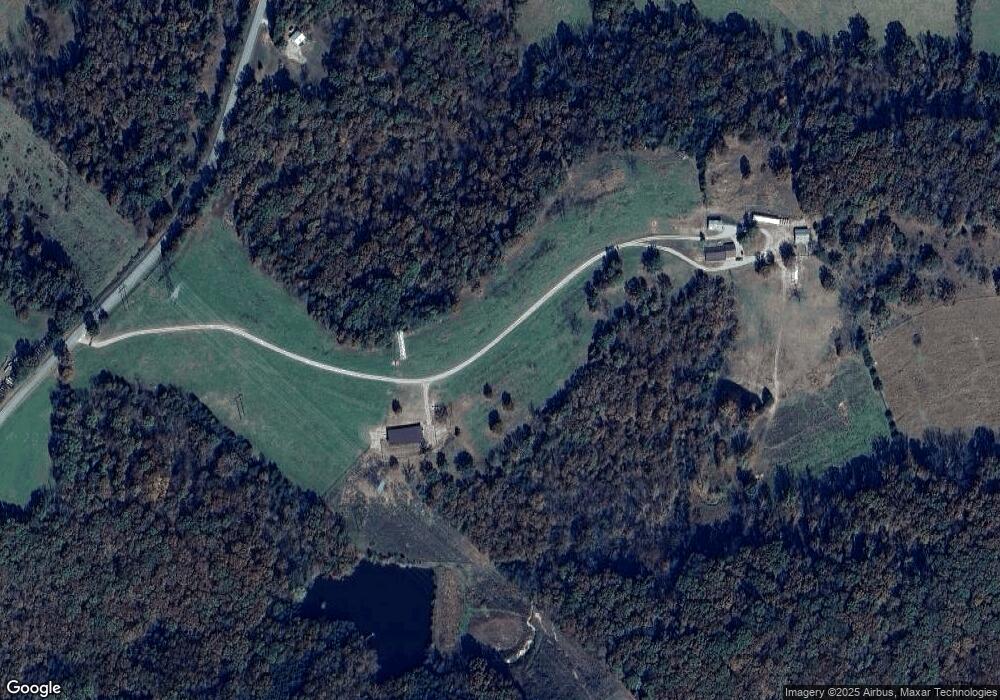
Map
Nearby Homes
- 0 County Road 236 Highway J Unit 433457
- 51 AC Old Ferry Rd
- 1084 Highway 100
- 0 Wink Rd
- 0 Hwy 89 N Unit 10071449
- 118 Chambers Trail
- 2020 Choctaw Path
- 1336 Hartshorn Dr
- 1387 Hartshorn Dr
- 1310 Bluebird Ln
- 502 S Market St
- 326 E Missouri Ave
- 129 Oak St
- 114 Oak St
- 0 43 36 Ac State Road 94
- 0 Tbd 43 36 Ac State Road 94
- TBD 43 36 Ac State Road 94
- 10590 Missouri 94
- 10200 Missouri 94
- 314 County Road 212 Unit 54.5 Acres
Your Personal Tour Guide
Ask me questions while you tour the home.