212 E Sund Rd Grapeview, WA 98546
Estimated Value: $756,000 - $1,070,000
3
Beds
3
Baths
1,998
Sq Ft
$451/Sq Ft
Est. Value
About This Home
This home is located at 212 E Sund Rd, Grapeview, WA 98546 and is currently estimated at $901,904, approximately $451 per square foot. 212 E Sund Rd is a home located in Mason County with nearby schools including Grapeview Elementary/Middle School.
Ownership History
Date
Name
Owned For
Owner Type
Purchase Details
Closed on
Mar 30, 2005
Sold by
Davies Drew J
Bought by
Richards Thomas Herbert and Richards Margaret
Current Estimated Value
Home Financials for this Owner
Home Financials are based on the most recent Mortgage that was taken out on this home.
Original Mortgage
$308,000
Outstanding Balance
$157,079
Interest Rate
5.6%
Mortgage Type
New Conventional
Estimated Equity
$744,825
Create a Home Valuation Report for This Property
The Home Valuation Report is an in-depth analysis detailing your home's value as well as a comparison with similar homes in the area
Purchase History
| Date | Buyer | Sale Price | Title Company |
|---|---|---|---|
| Richards Thomas Herbert | $385,000 | Land Title Co |
Source: Public Records
Mortgage History
| Date | Status | Borrower | Loan Amount |
|---|---|---|---|
| Open | Richards Thomas Herbert | $308,000 |
Source: Public Records
Tax History
| Year | Tax Paid | Tax Assessment Tax Assessment Total Assessment is a certain percentage of the fair market value that is determined by local assessors to be the total taxable value of land and additions on the property. | Land | Improvement |
|---|---|---|---|---|
| 2025 | $6,106 | $852,020 | $203,250 | $648,770 |
| 2023 | $6,106 | $640,750 | $203,250 | $437,500 |
| 2022 | $5,932 | $674,455 | $135,370 | $539,085 |
| 2021 | $4,515 | $674,455 | $135,370 | $539,085 |
| 2020 | $4,801 | $510,285 | $173,550 | $336,735 |
| 2018 | $4,731 | $434,690 | $173,765 | $260,925 |
| 2017 | $4,123 | $434,690 | $173,765 | $260,925 |
| 2016 | $3,370 | $402,695 | $165,490 | $237,205 |
| 2015 | $3,265 | $328,100 | $132,840 | $195,260 |
| 2014 | -- | $305,525 | $118,800 | $186,725 |
| 2013 | -- | $279,230 | $102,600 | $176,630 |
Source: Public Records
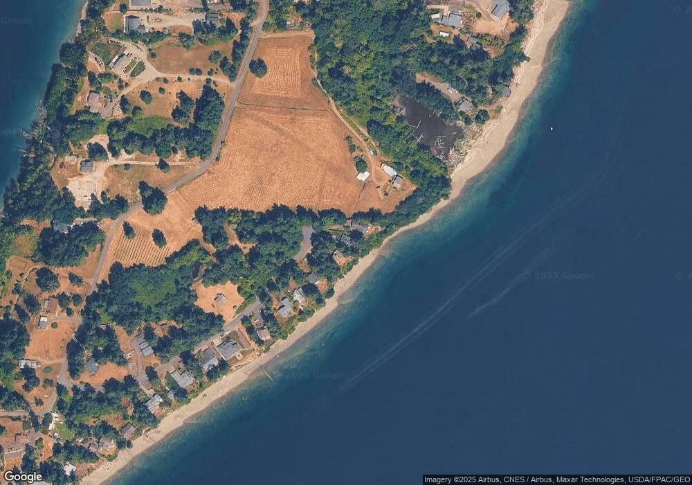
Map
Nearby Homes
- 187 E Vineyard Crest Rd
- 0 E Murray Rd N Unit NWM2467437
- 6206 Crescent Beach Rd NW
- 5440 E Grapeview Loop Rd
- 7504 Crescent Beach Rd NW
- 0 E McLane Cove Dr
- 270 E Grapeview Point Rd
- 432 E Pointes Dr E
- 221 E Country Ln
- 120 E Stadium Ln
- 758 E Promontory Rd
- 625 E Pointes Dr W
- 664 E Portage Rd
- 741 E Promontory Rd
- 655 E Portage Rd
- 731 E Promontory Rd
- 713 E Pointes Dr W
- 301 E Pointes Dr E
- 17410 68th St NW
- 0 Lackey Rd NW
- 220 E Sund Rd
- 210 E Sund Rd
- 200 E Sund Rd
- 180 E Sund Rd
- 160 E Sund Rd
- 140 E Sund Rd
- 131 E Sund Rd
- 120 E Sund Rd
- 0 XXX E Sund Rd
- 393 E Stretch Island Rd S
- 100 E Sund Rd
- 81 E Sund Rd
- 395 E Stretch Island Rd S
- 80 E Sund Rd
- 391 E Stretch Island Rd S
- 397 E Stretch Island Rd S
- 51 E Sund Rd
- 60 E Sund Rd
- 490 E Stretch Island Rd S
- 641 E Stretch Island Rd S
Your Personal Tour Guide
Ask me questions while you tour the home.